
GM-05 Line of Sight and Viewshed
Sample Data:
Point Cloud (2013 aerial, colorized with 2014 imagery)
DEM Full (resampled)

Load up some surface data.

There's a house a ways from the water. Do they have any real clear views of Nantucket Sound?

Here's a surface model of the ground points.


Like so many functions, you have to play with the numbers and options. You get used to the options.

The line of sight sees through everything.

At the top you can see the amount of obstruction.

So we change some variables.

And we can see over the ground.

I went back to the cloud and created a surface with all the points on. It would be better to classify the buildings to reduce the trees.

Again, play with the numbers.

And you may be able to see that you can see through the trees and over a building.
But that was so one dimensional. How about looking around?

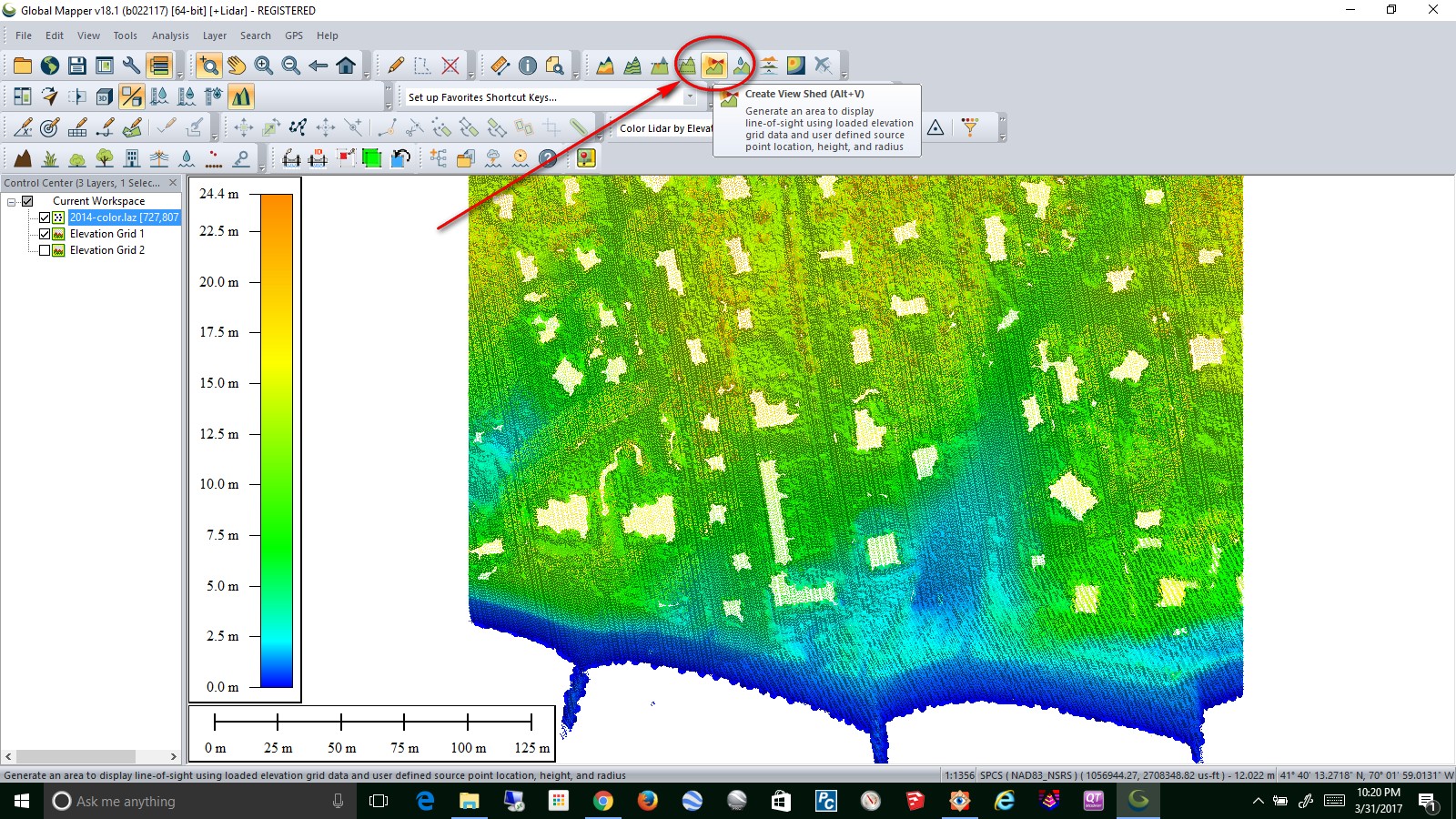
This Viewshed tool has several variables to adjust.

But you can work it into a view.

At least it directs you to research areas for a potential view.
Do you have more questions?