ASSESSING INFORMATION- LAST UPDATED 08-09-2018
Parcel ID: 13H-10-SS39
Assessors' Card

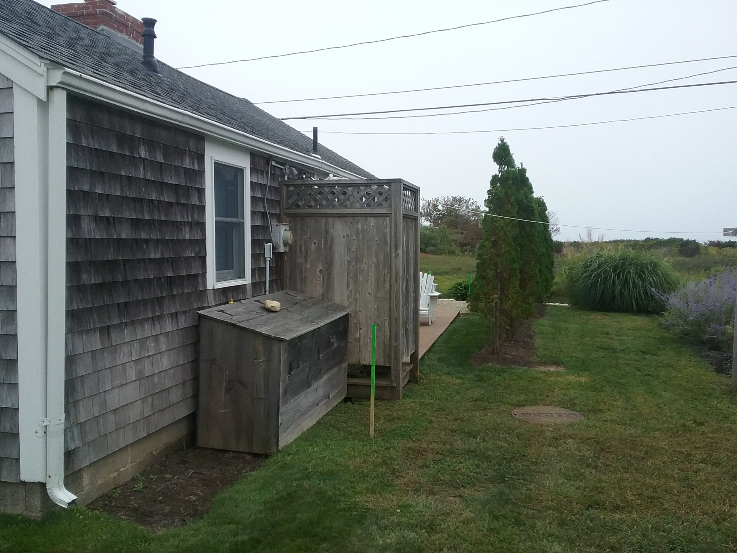
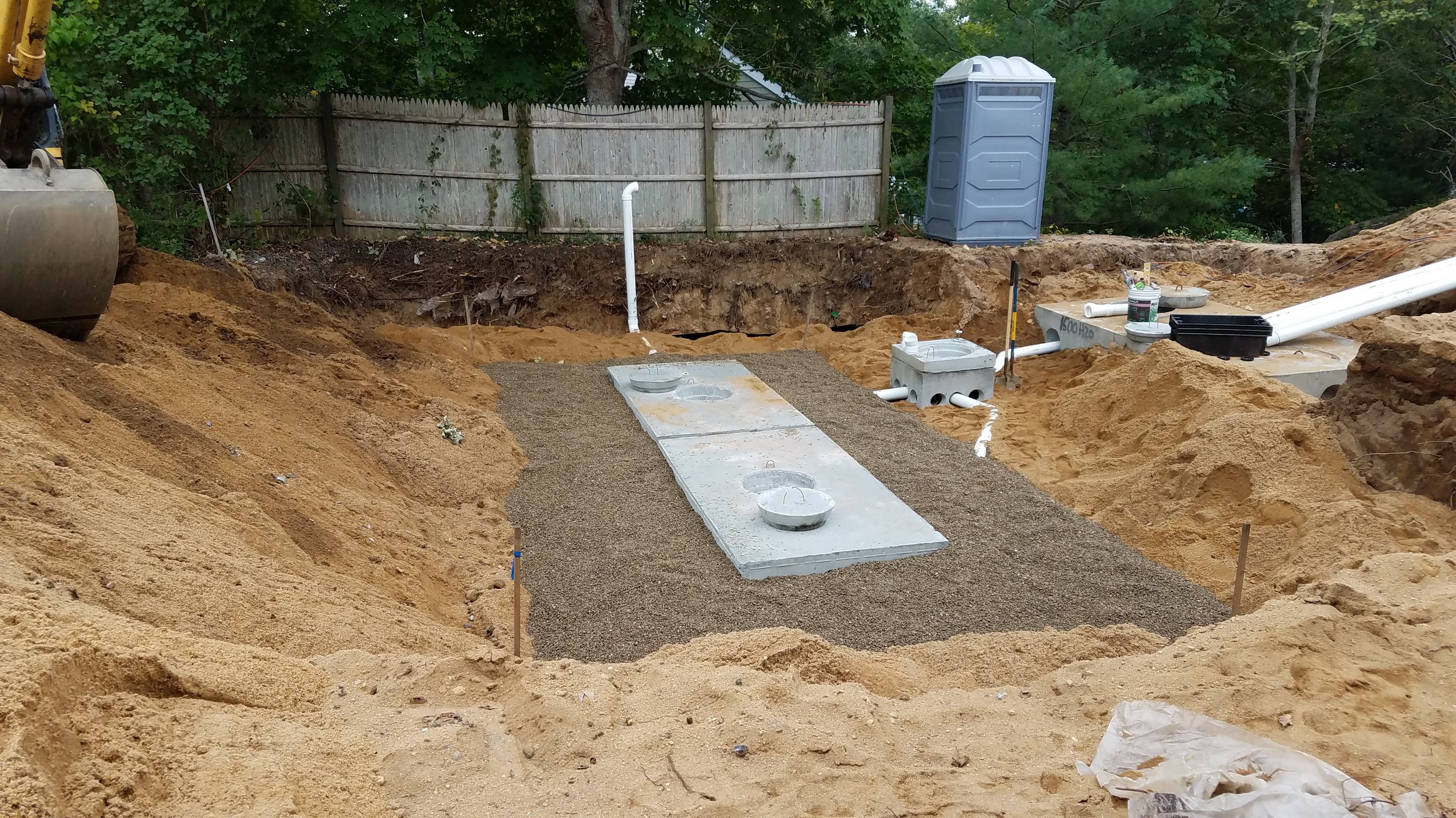
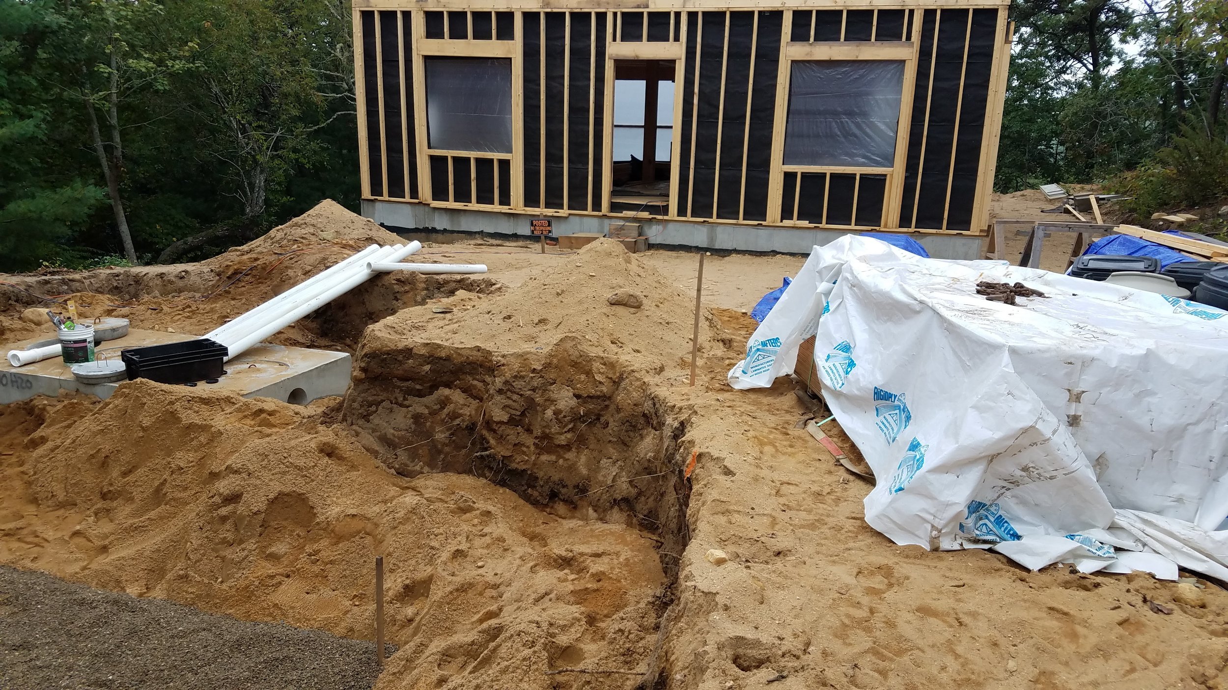
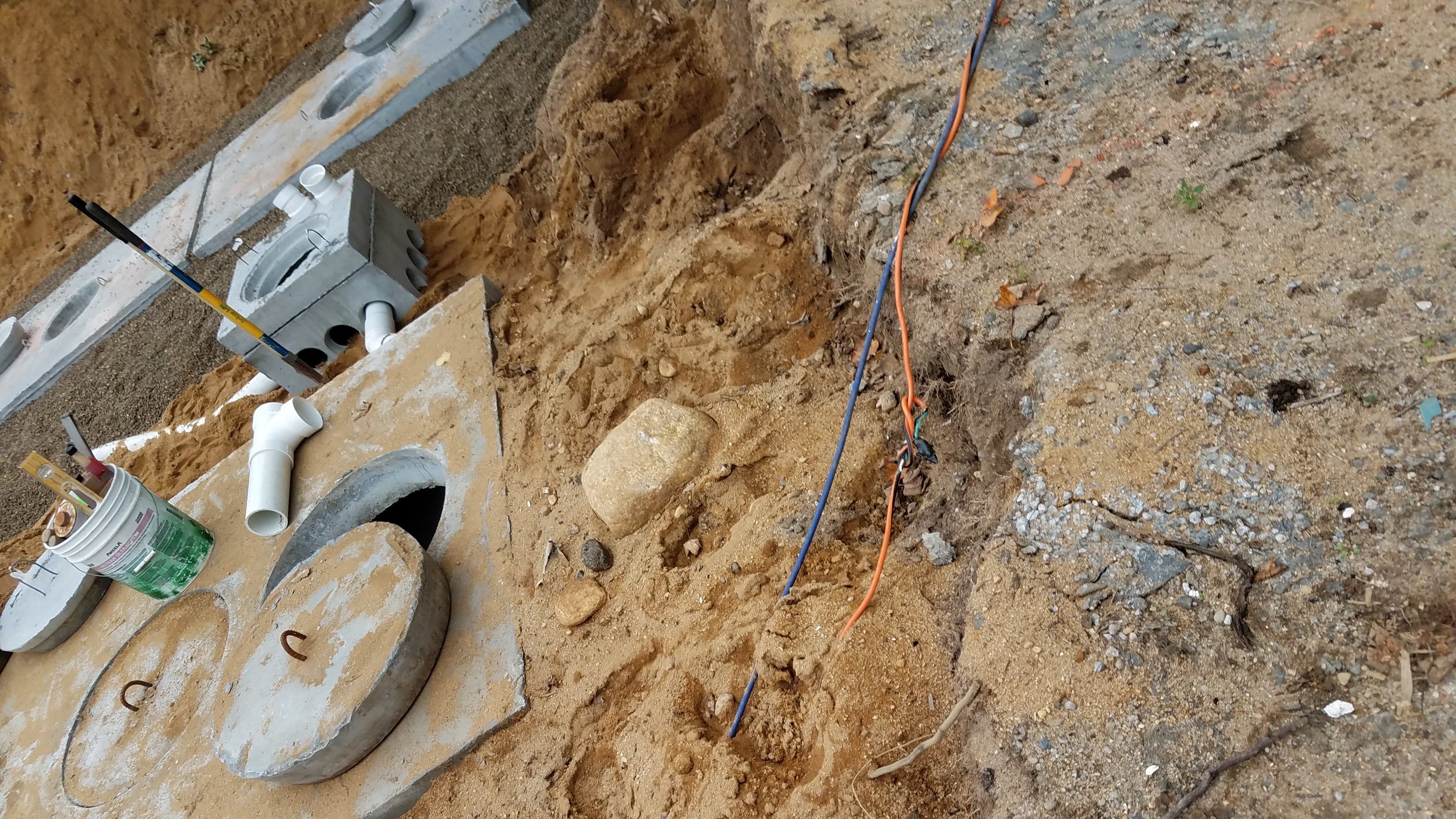
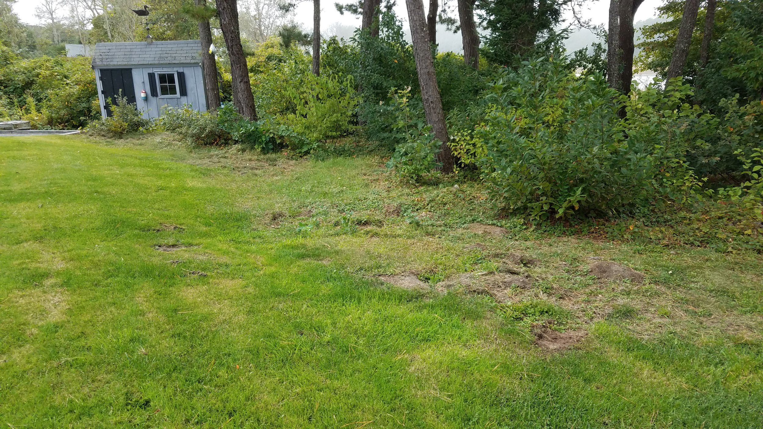
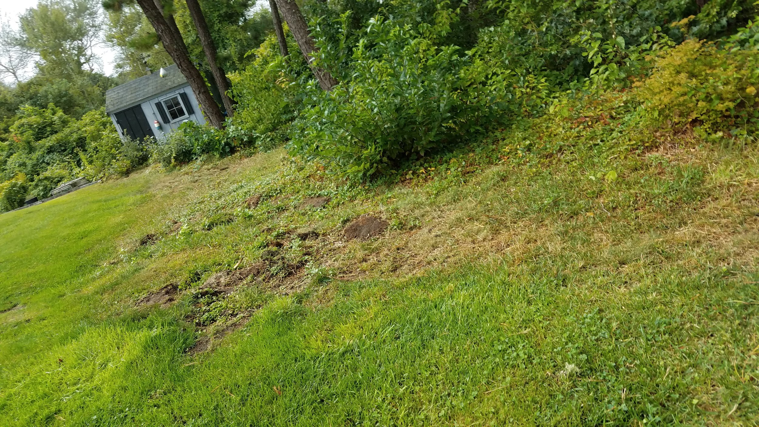
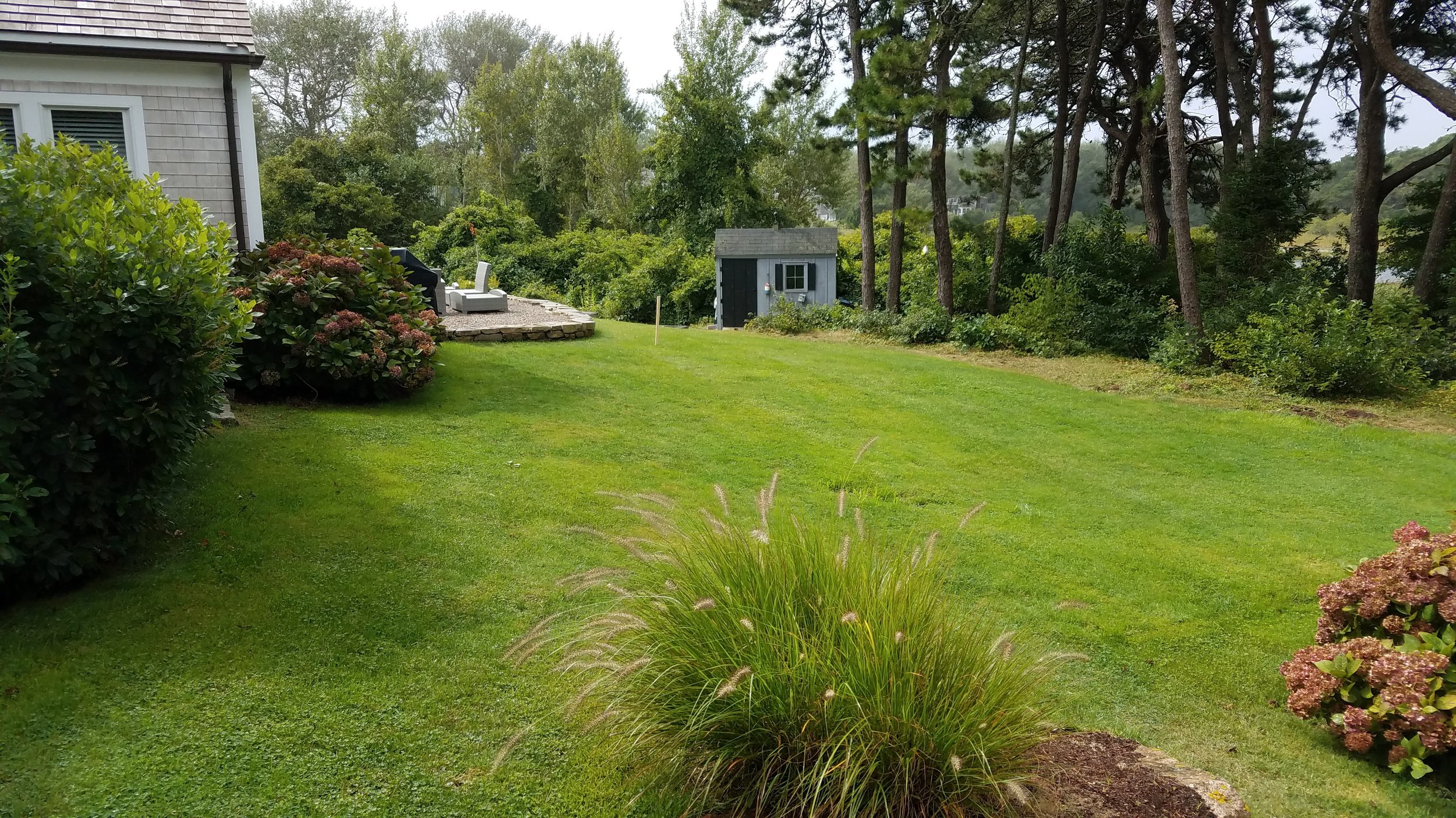
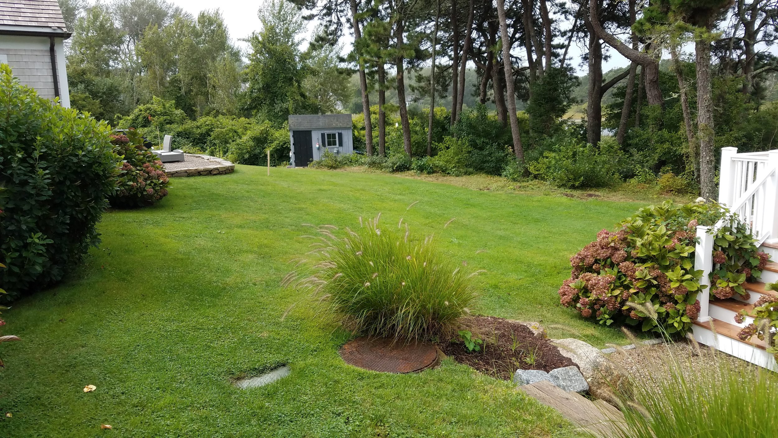
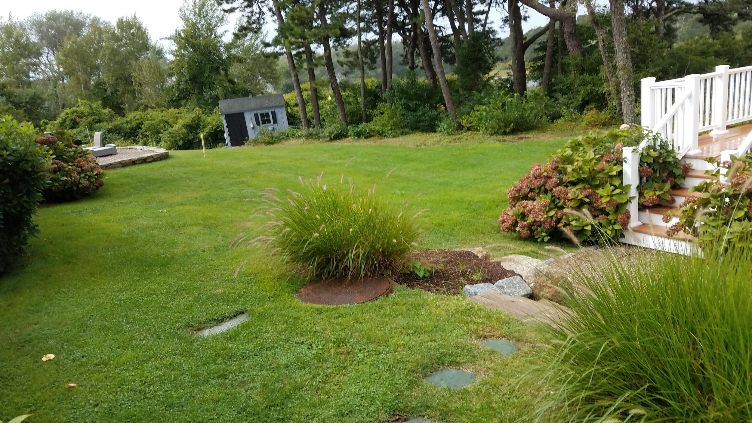
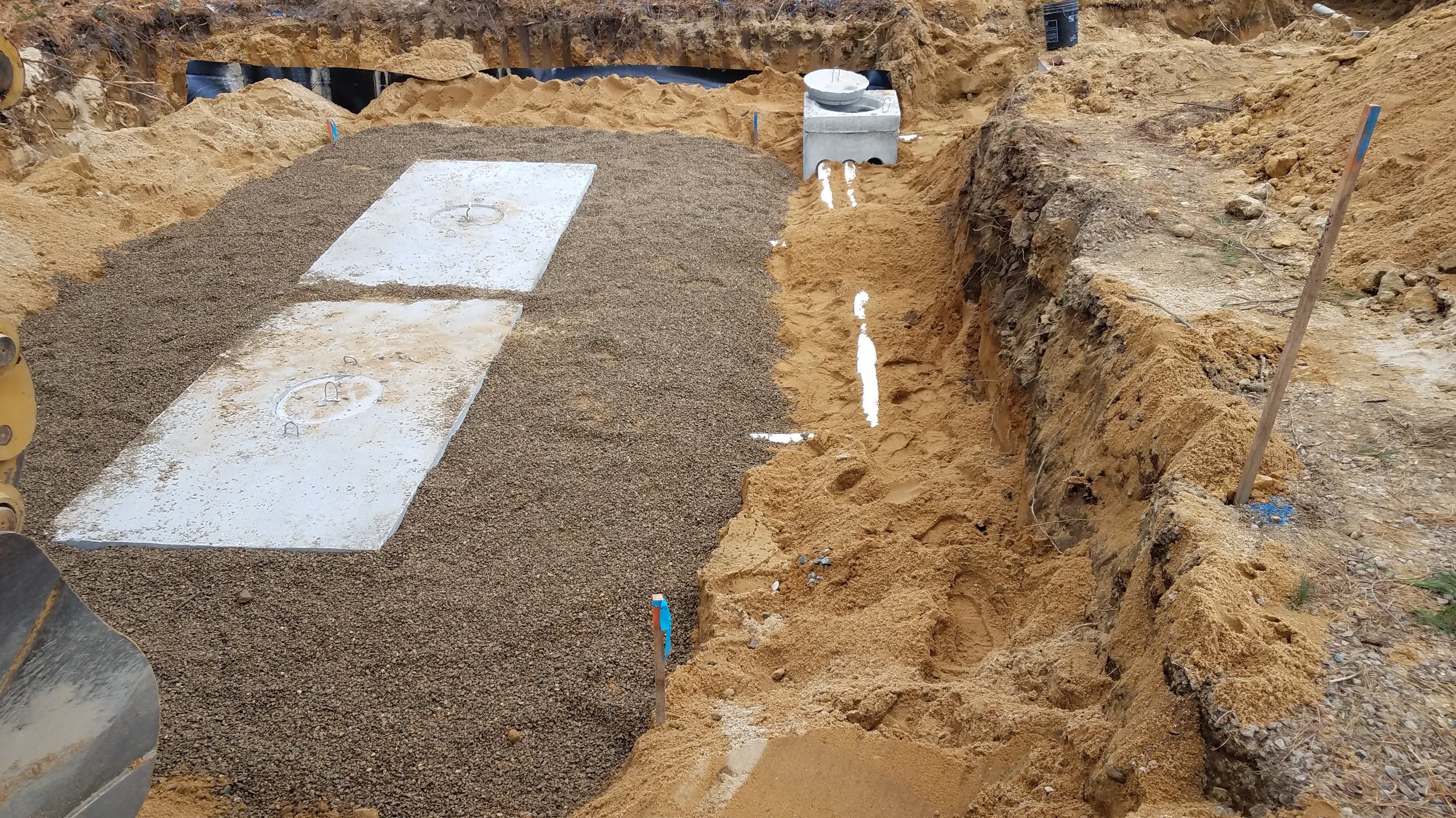
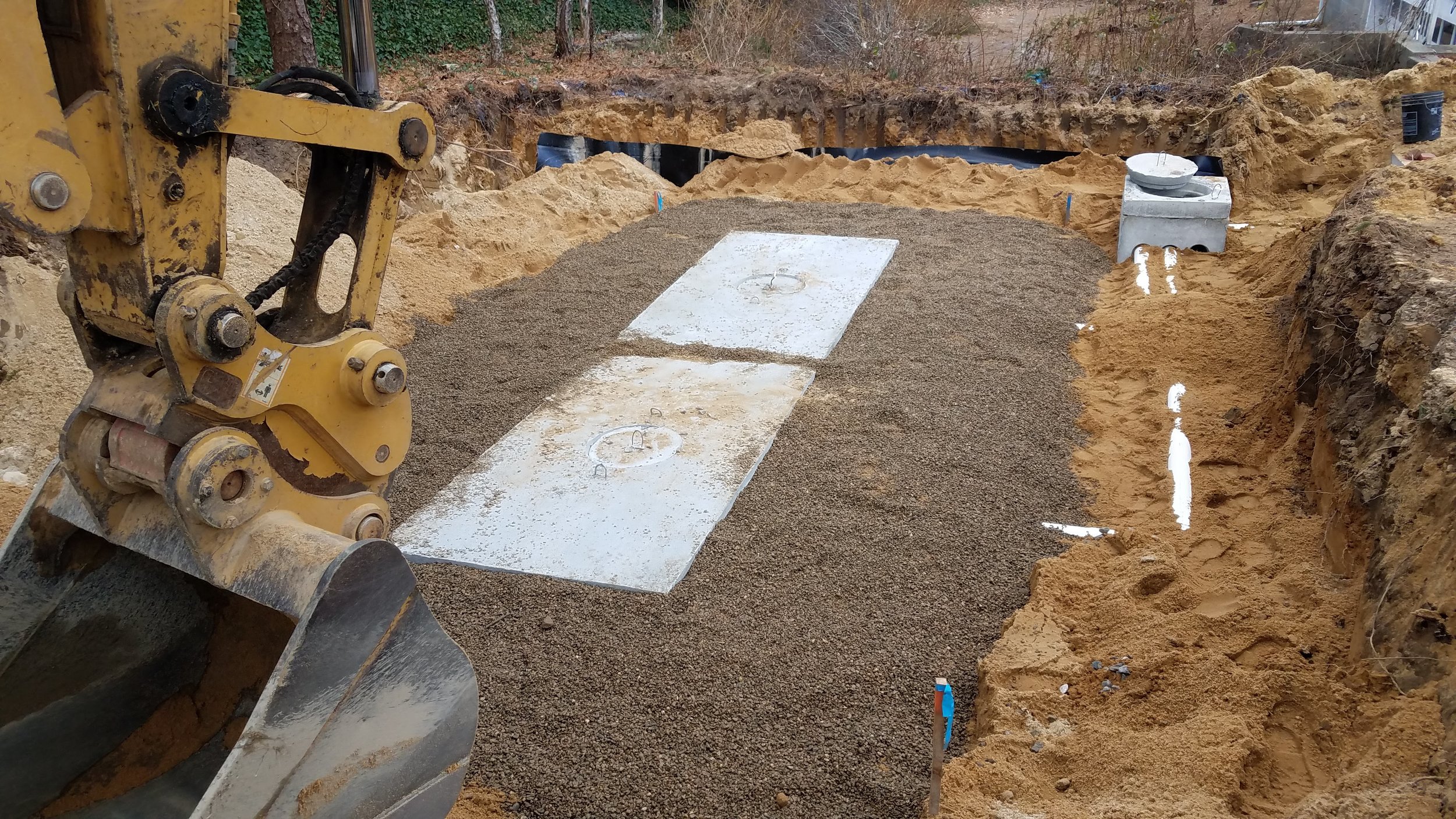
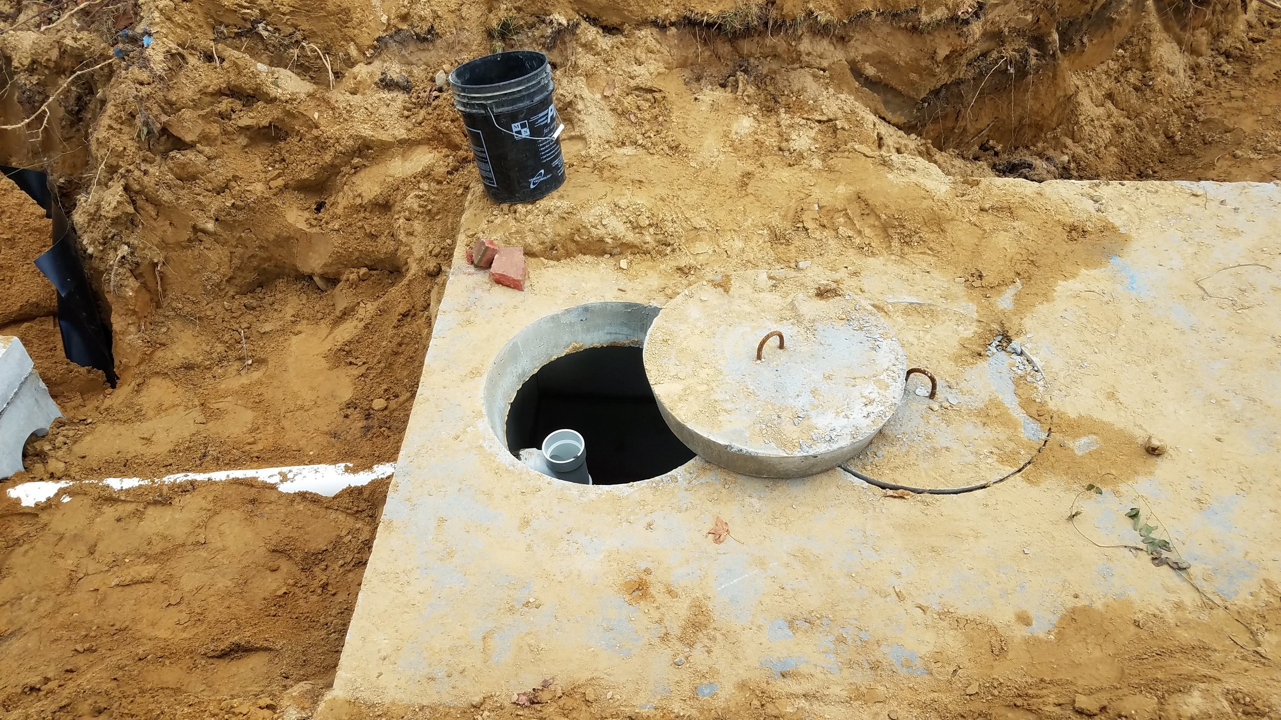
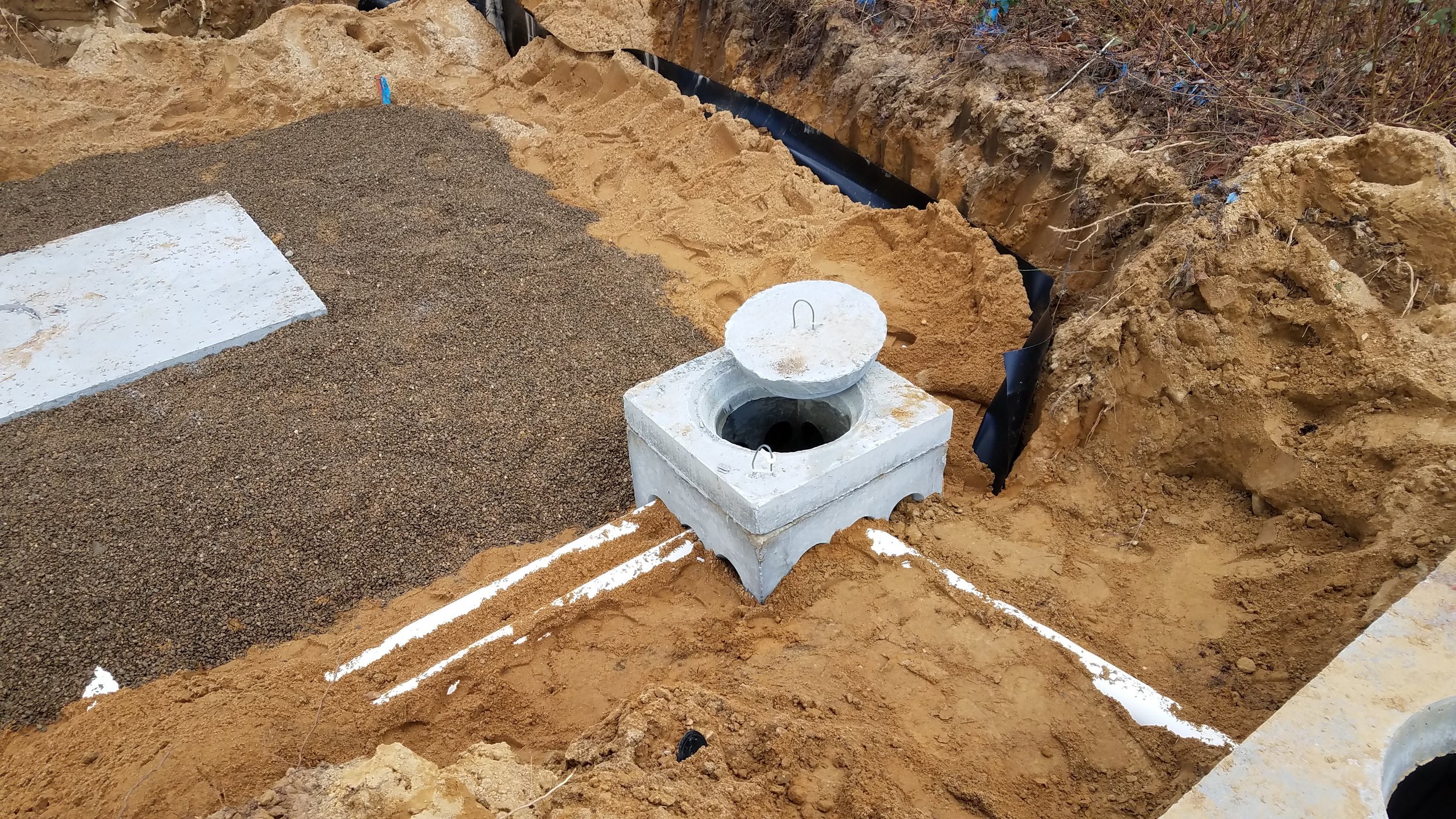
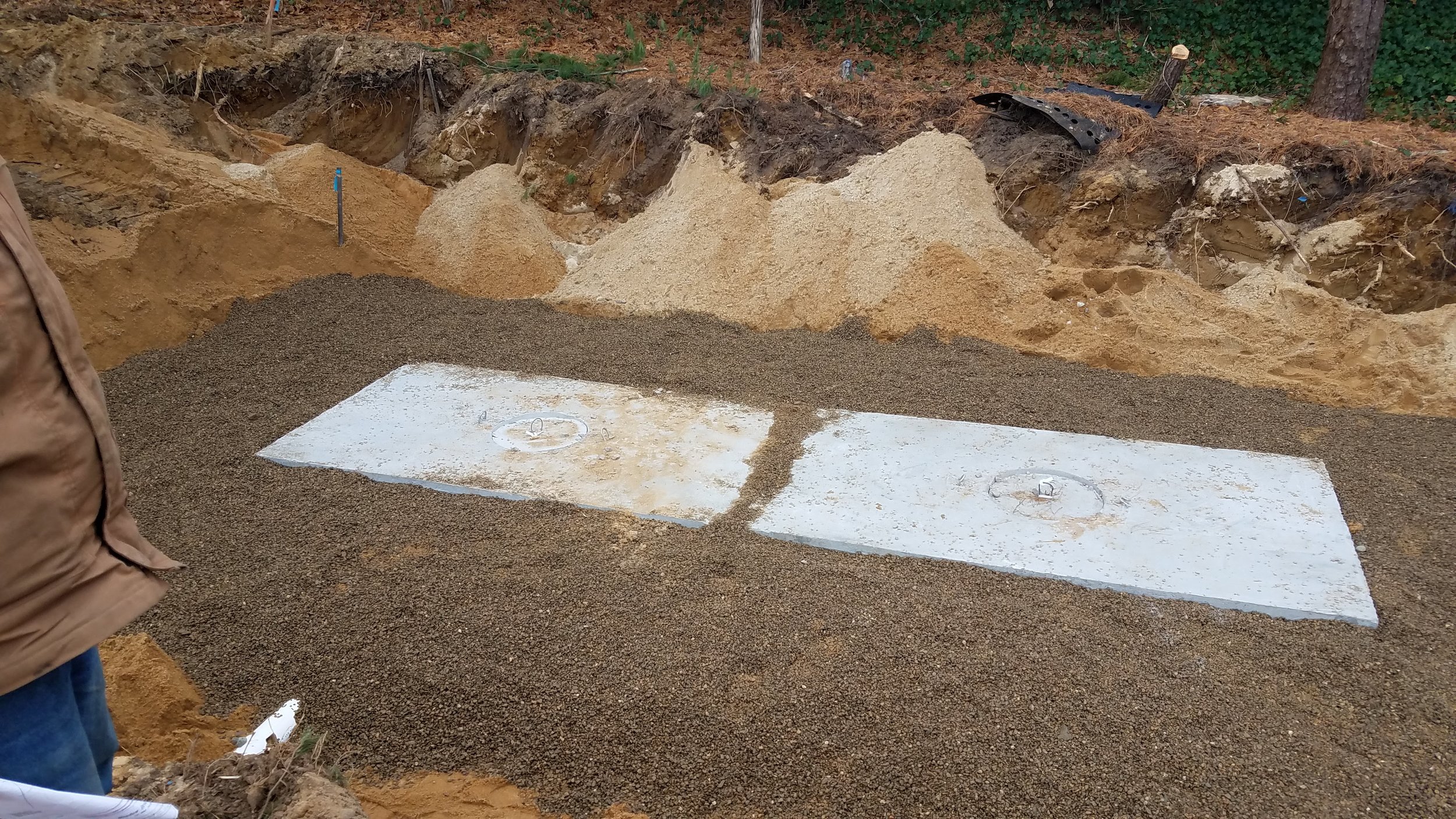
Septic Inspection on December 5, 2018. It is another fine job by John Williams of J.W. Dubis and Sons. Risers are to be added, the building needs to be replumbed to be connected and the cesspools in the backyard need to be filled.
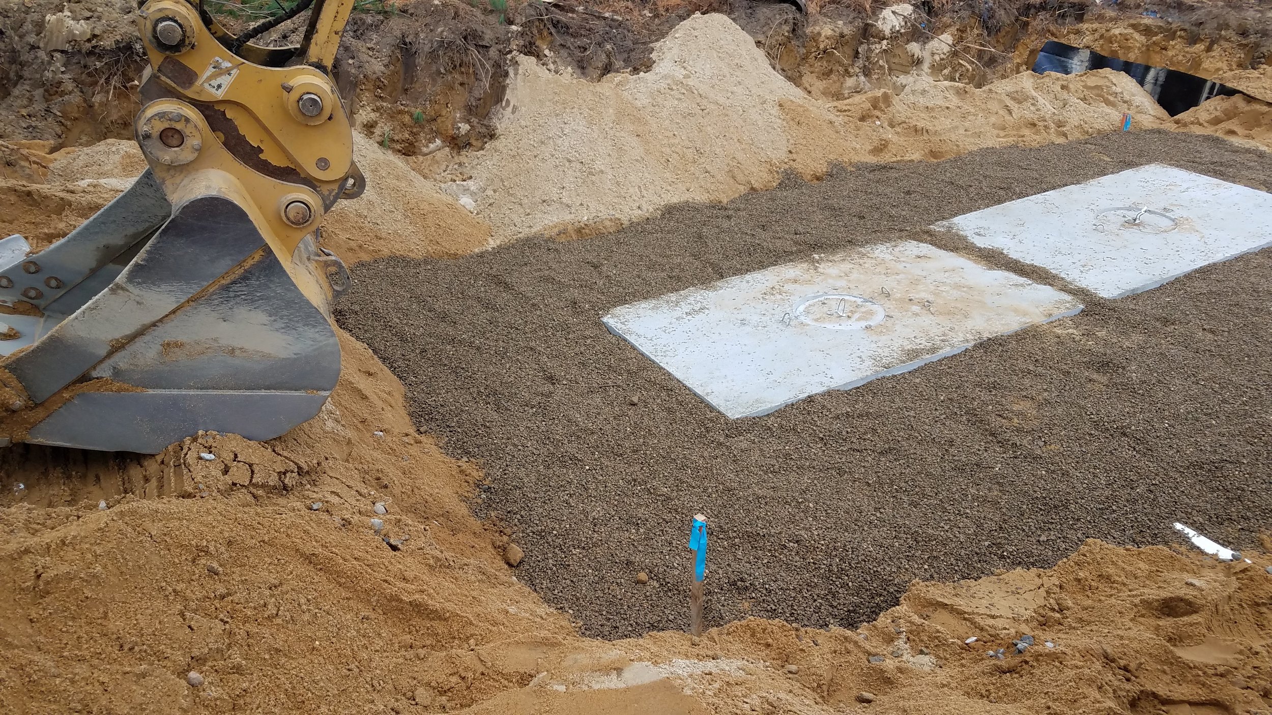
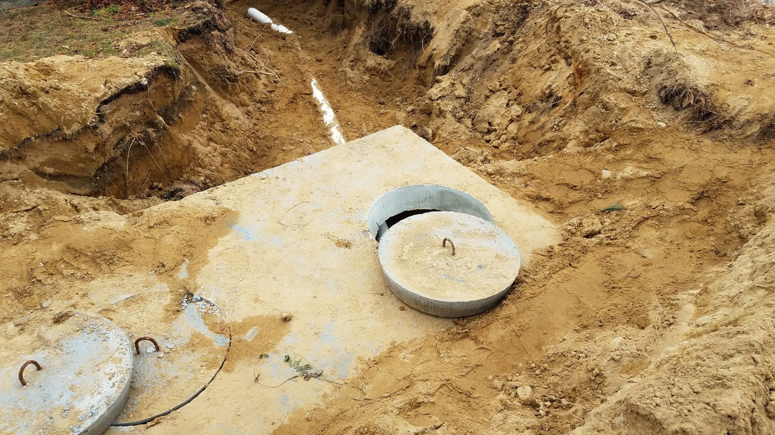
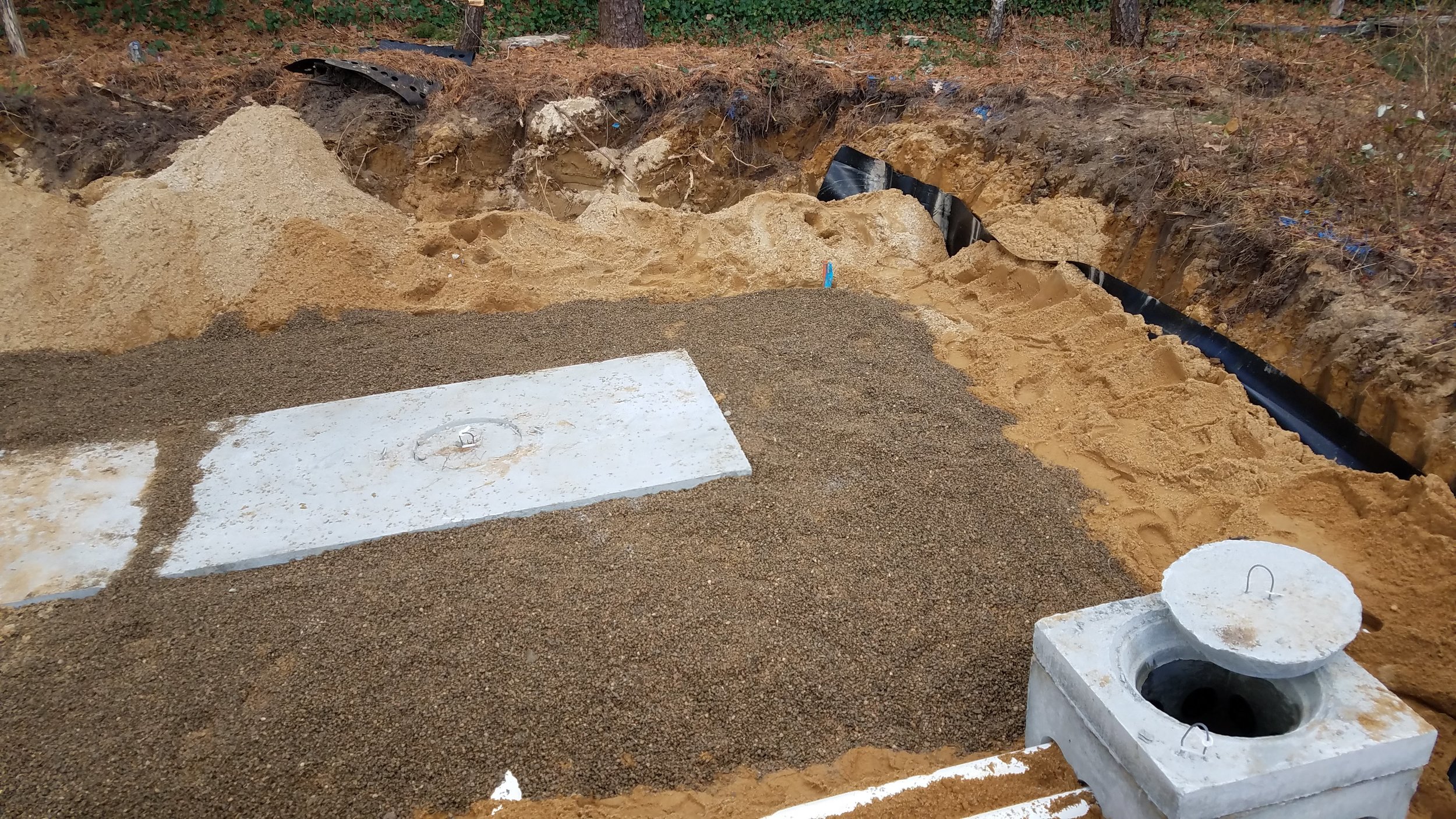
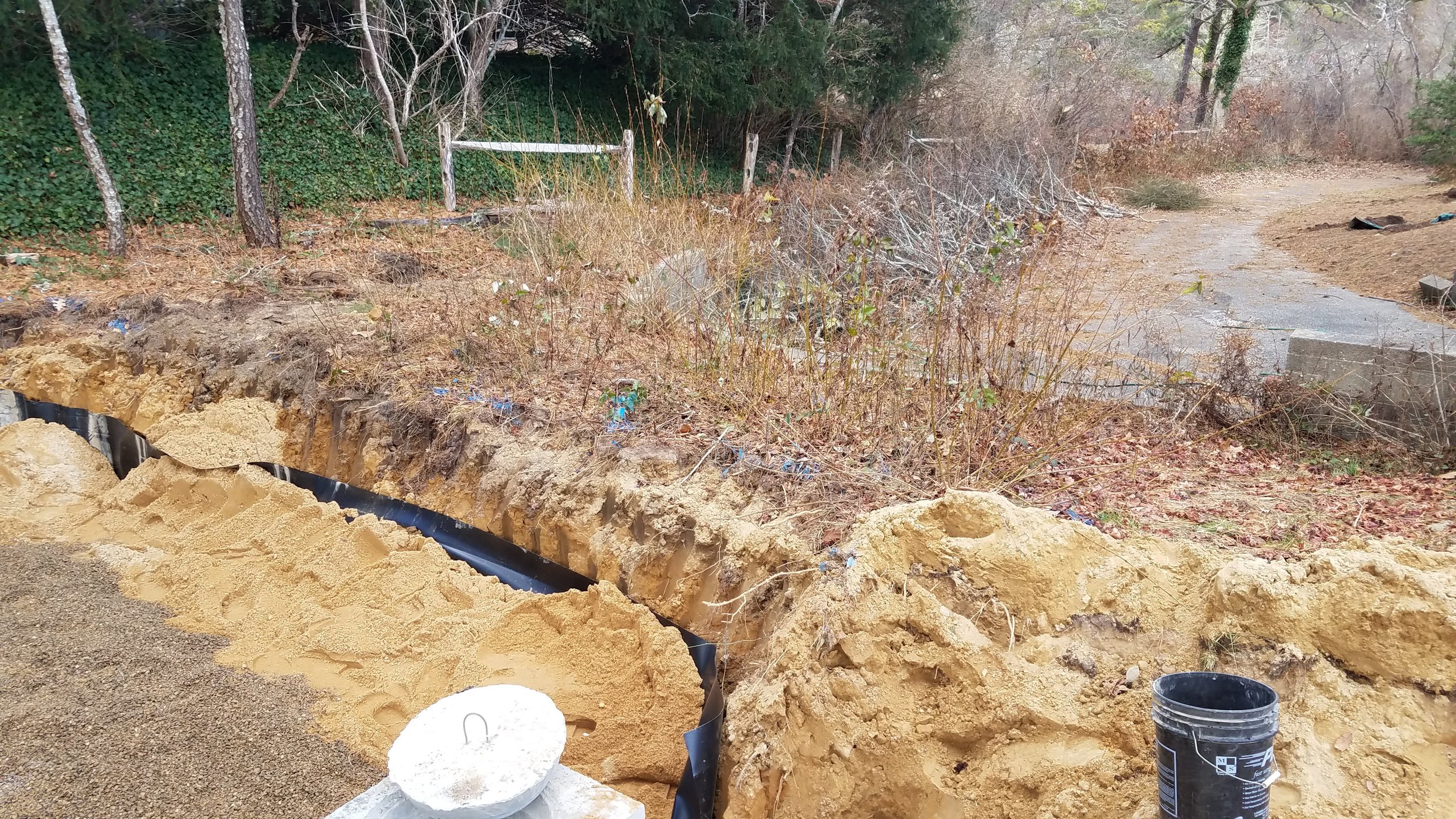
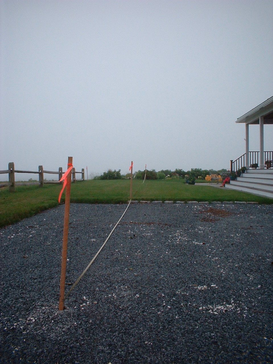
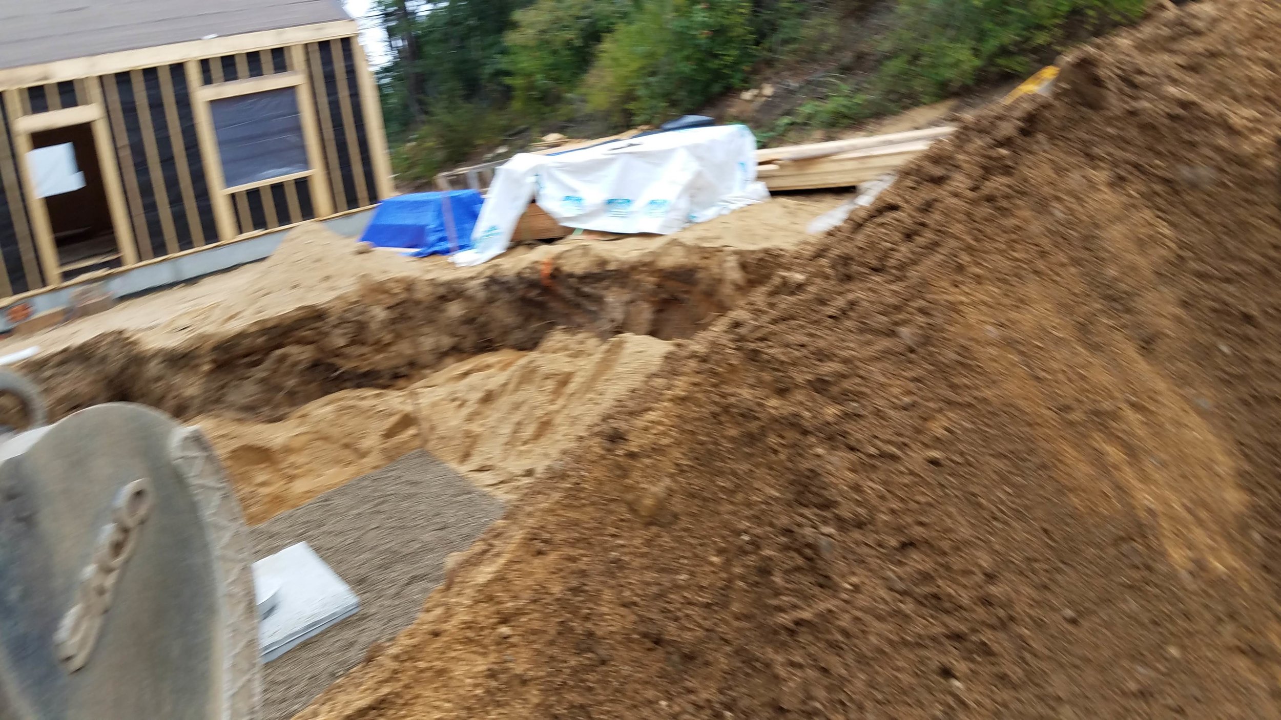
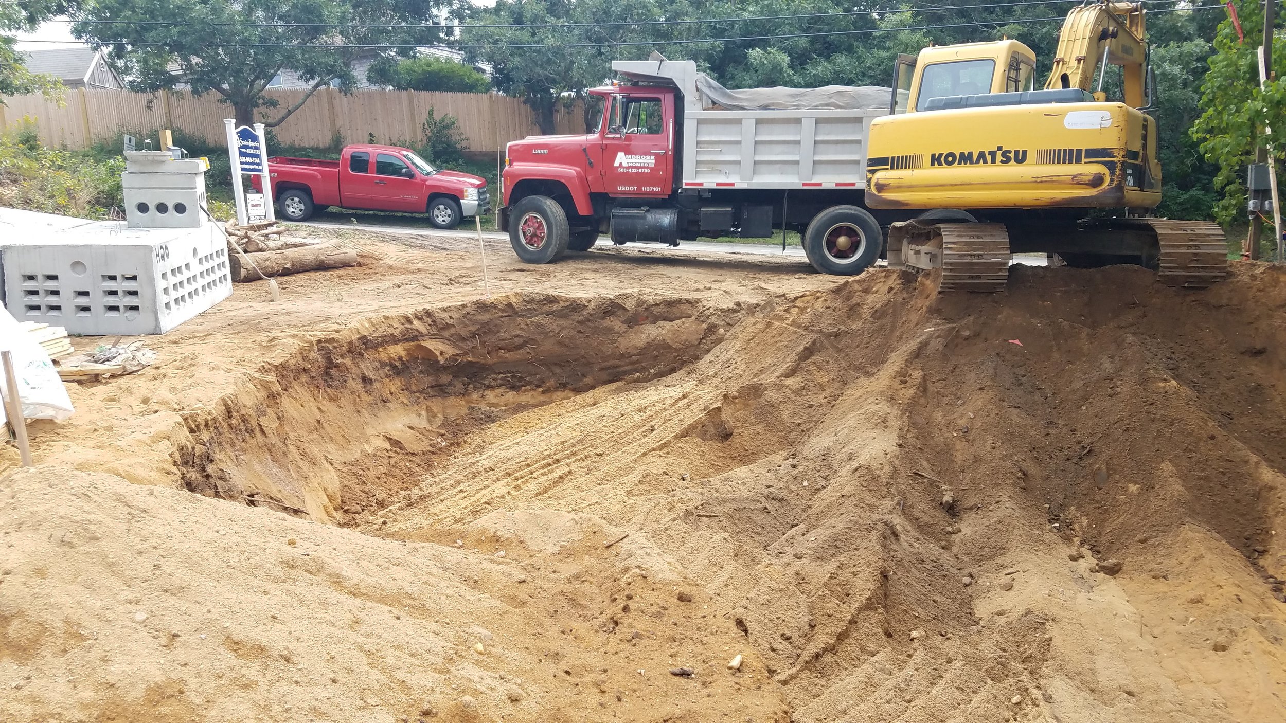
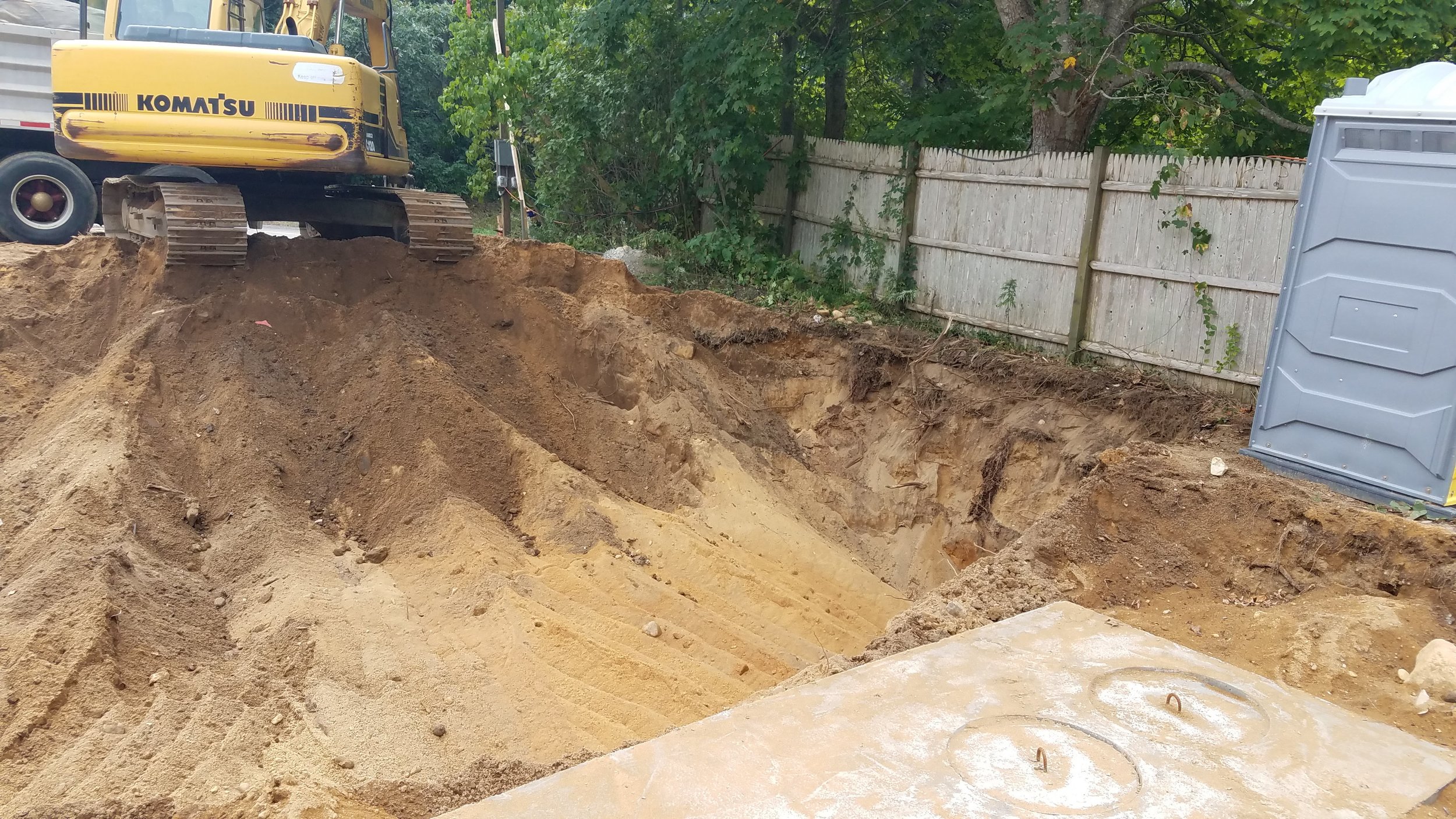
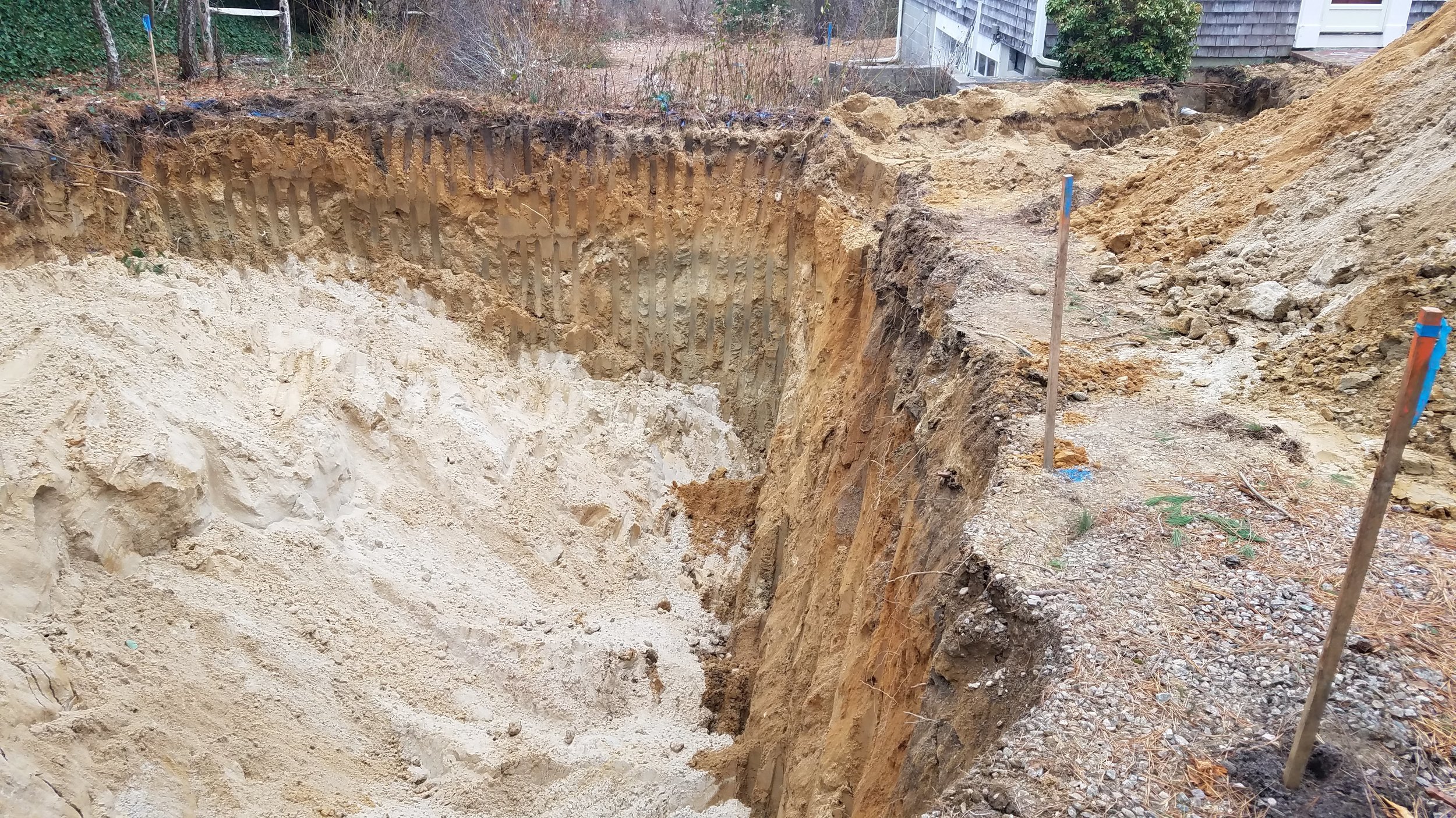
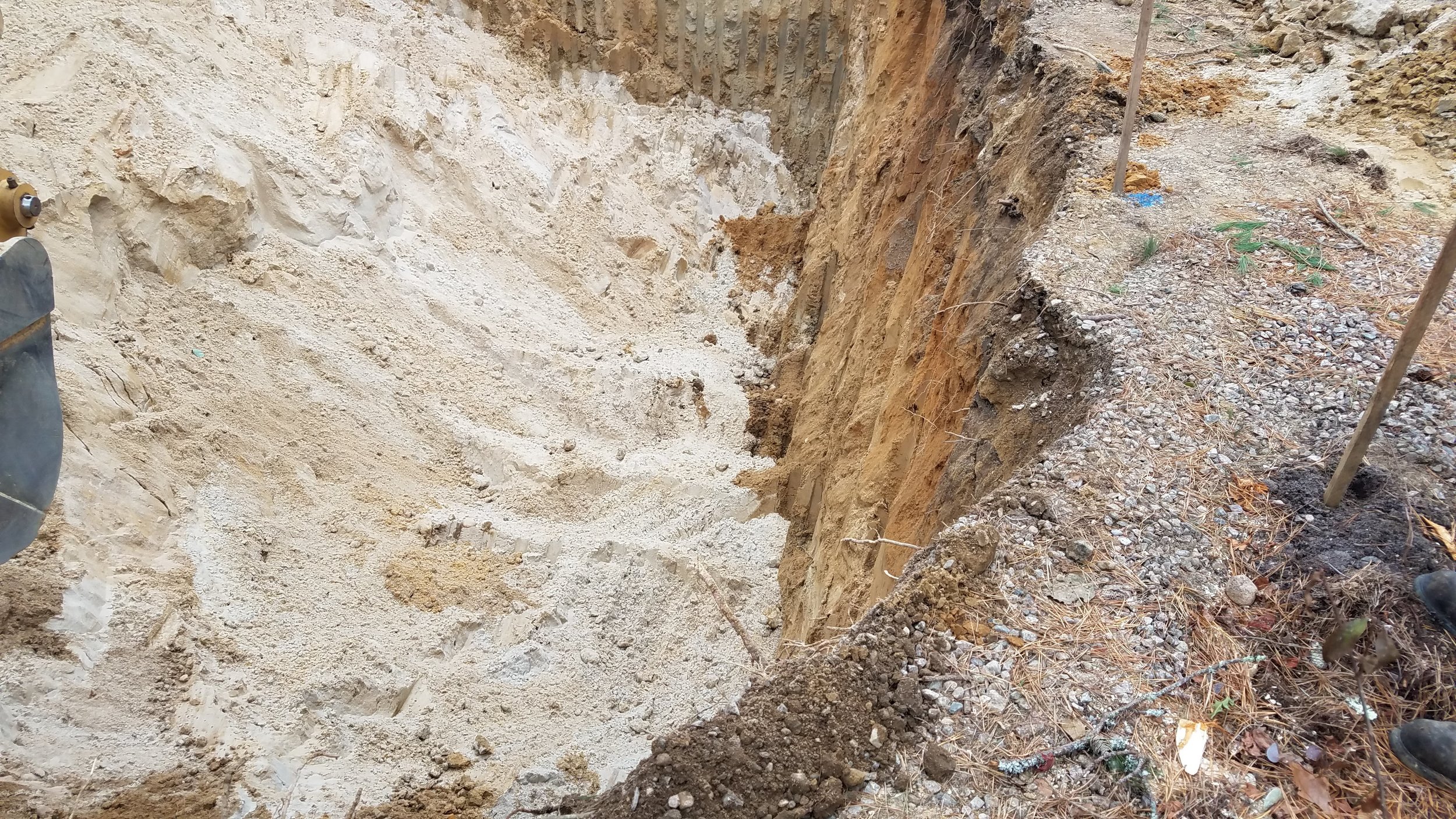
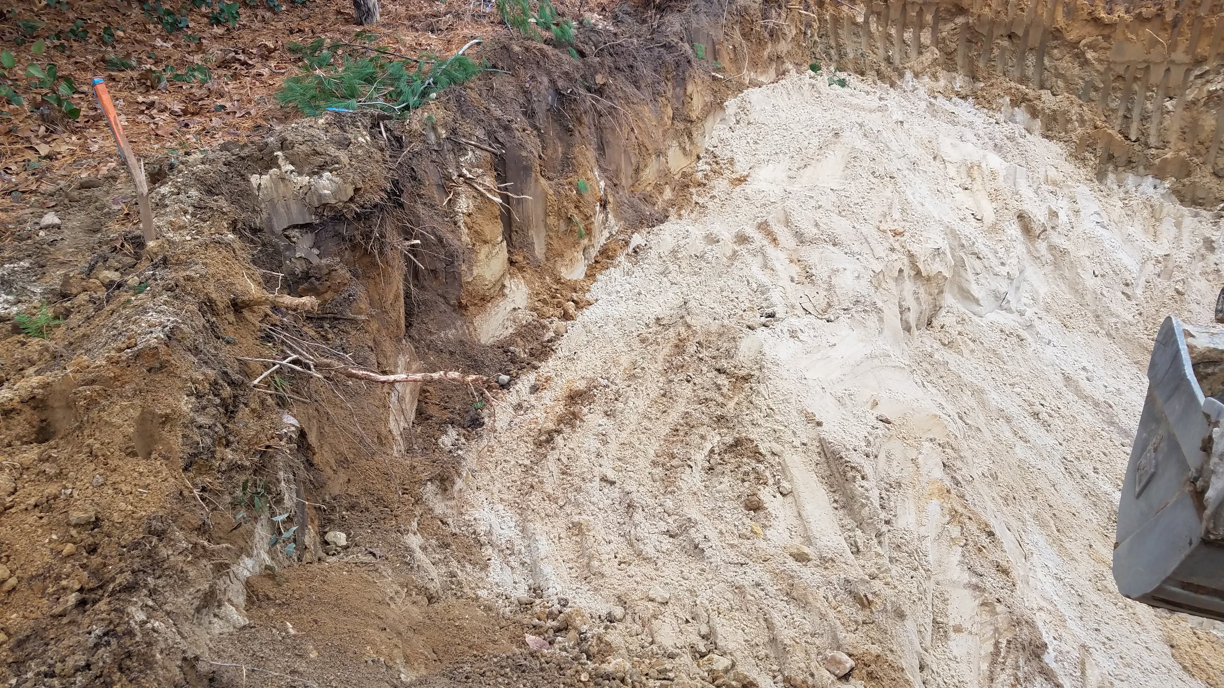
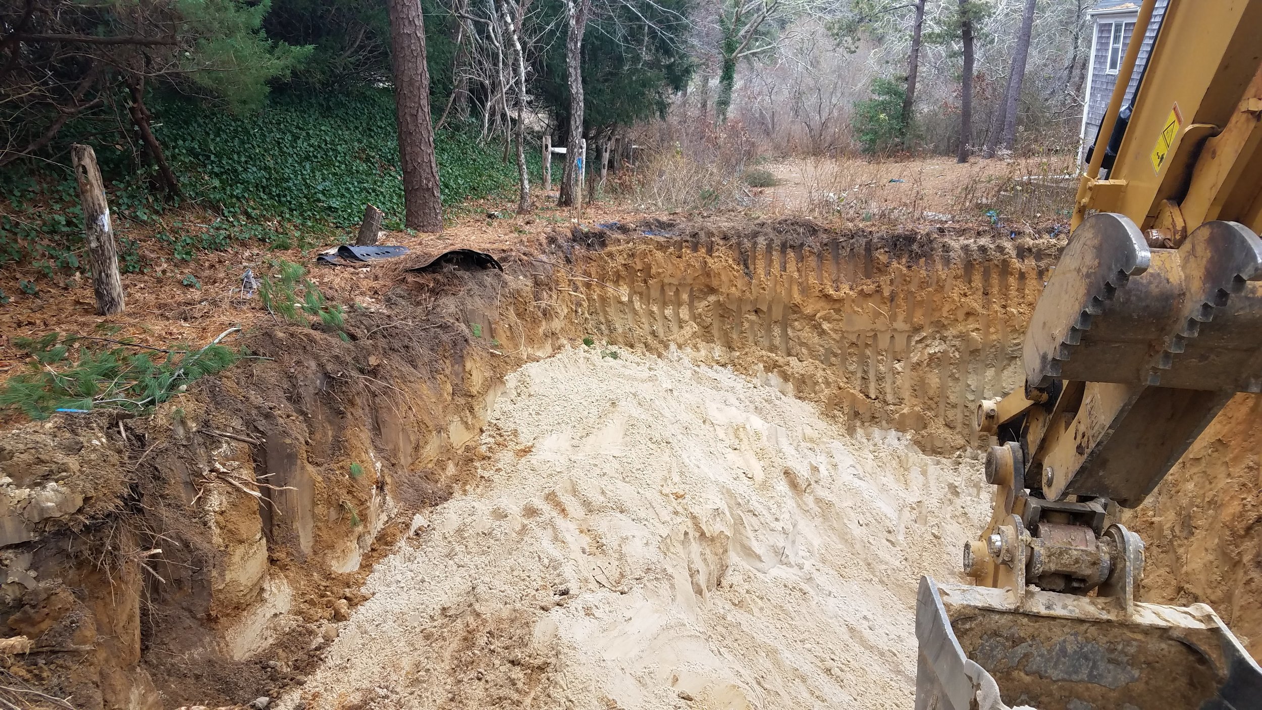
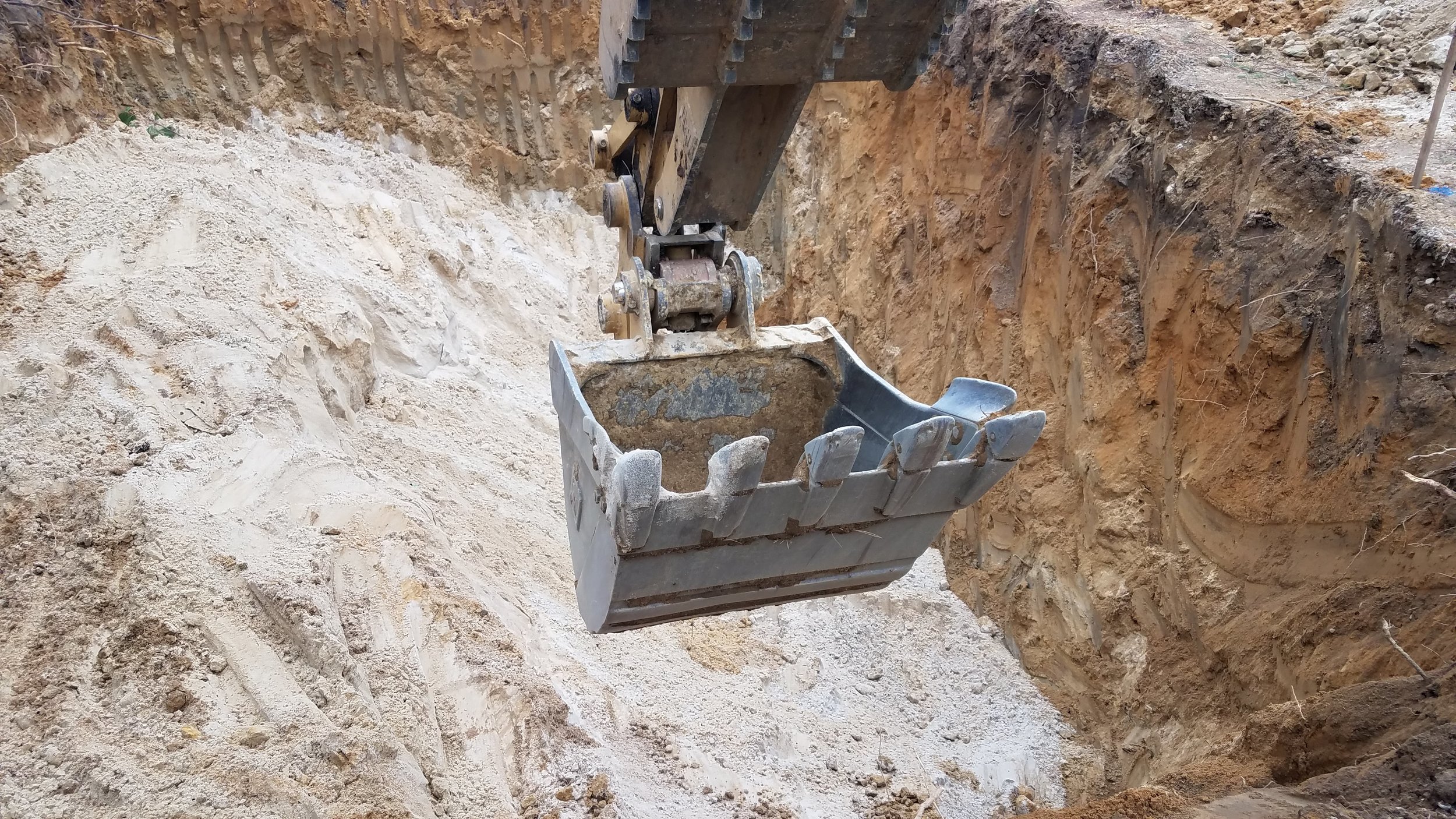
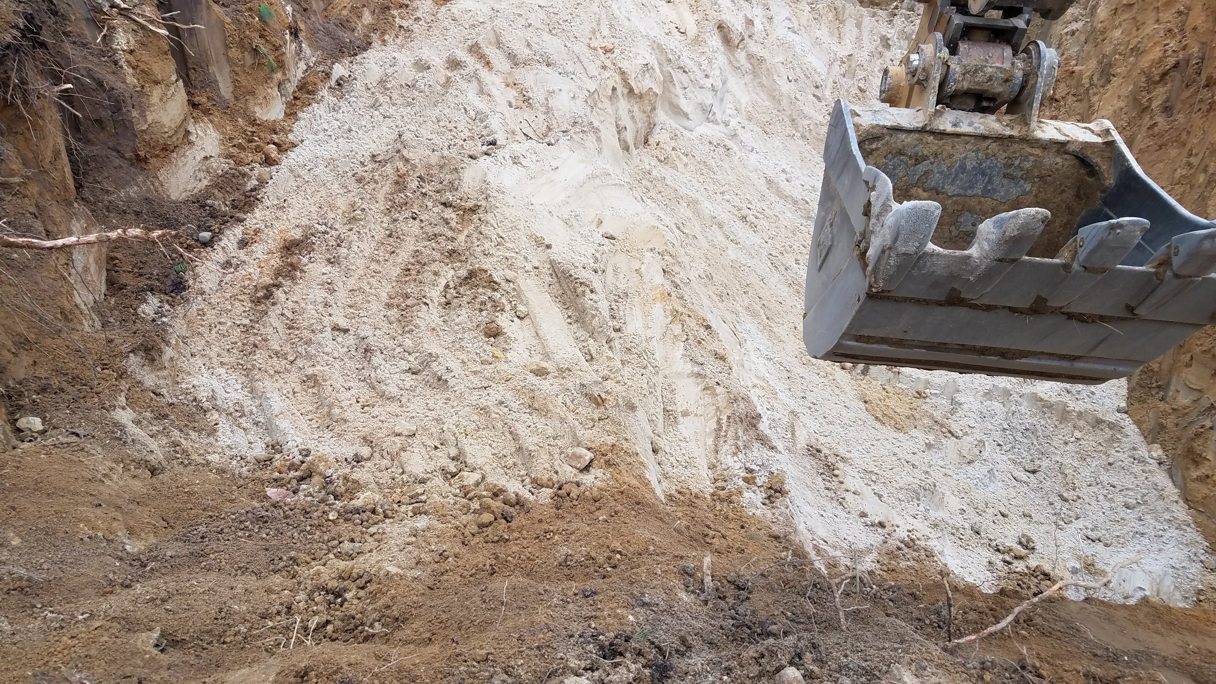
Overdig Inspection December 4, 2018 - The northeasterly corner of the leaching area included more unsuitable soils than discovered within the test holes.

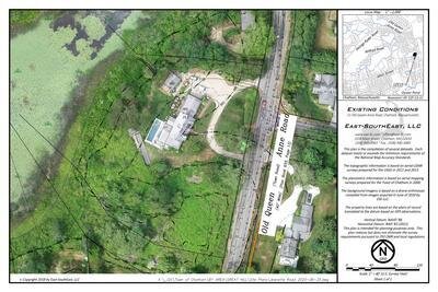
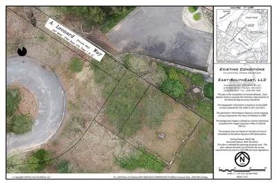
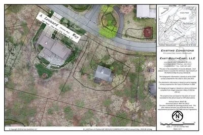
aGIS or accurate GIS is an existing conditions plan exceeding the National Map Accuracy Standards with portions meeting the Survey Standards of 250 CMR.