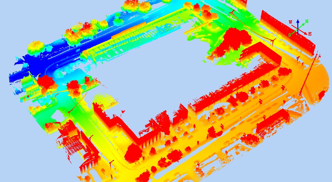
At the MALSCE 2015 Convention held at the Crowne Plaza in Pittsfield, MA, we used the mobile mapper to scan the block. It took less than ten-minutes to acquire over a gigabyte of point cloud.
There are many free viewers out there. We used the Quick Terrain Viewer from Applied Imagery for some of the demonstration during the Convention. We will update this with a link once we receive permission, but until then google it.
The data sets are large. Here are links to the FARO data and the Velodyne data.
FARO - (370 MB)
VELODYNE - (800 MB)
Once you get the data downloaded and the viewer installed, open one or more files in the viewer. Don't open too many at once; too many can overwhelm the system.
The point clouds were prepared in SPCS - Mass. Mainland, US FT, NAD'83(2011), NAVD'88 all based on GPS adjustments from Maine Technical Source station PITT. The adjusted trajectory reported accuracies within 1.5 cm.