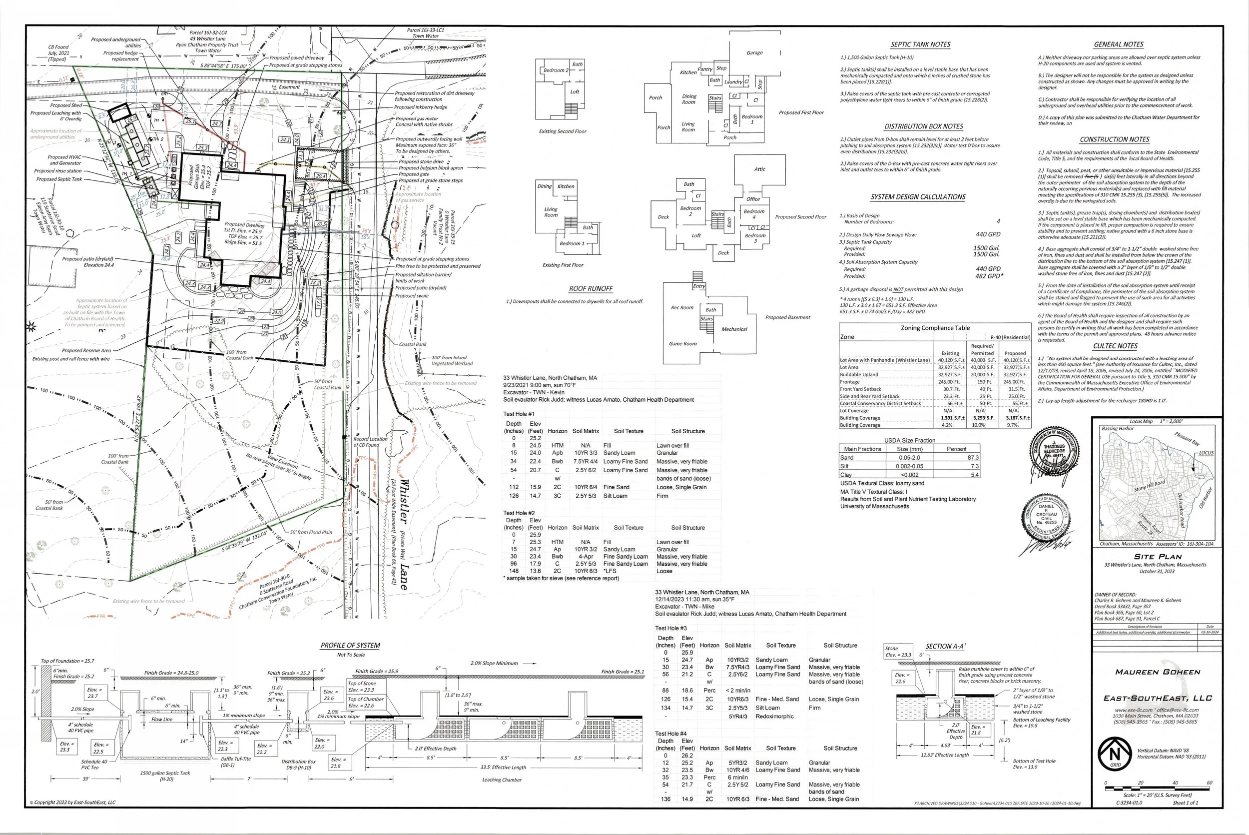
ASSESSING INFORMATION- LAST UPDATED 11-01-2018
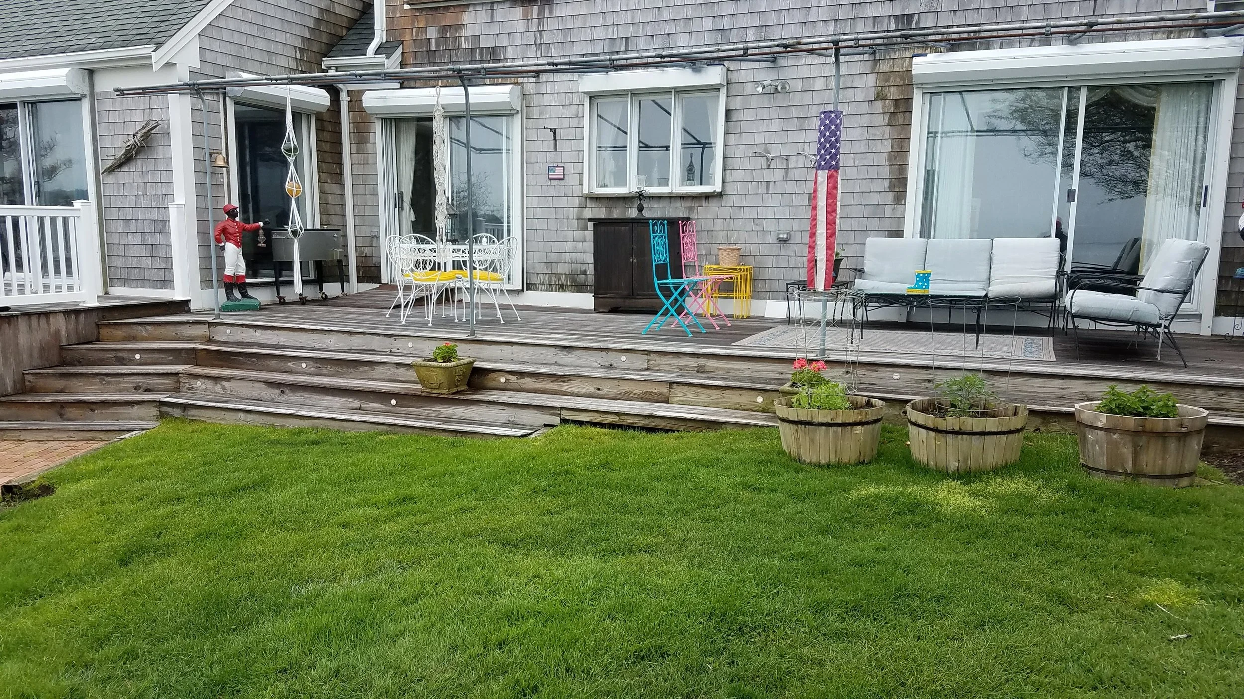
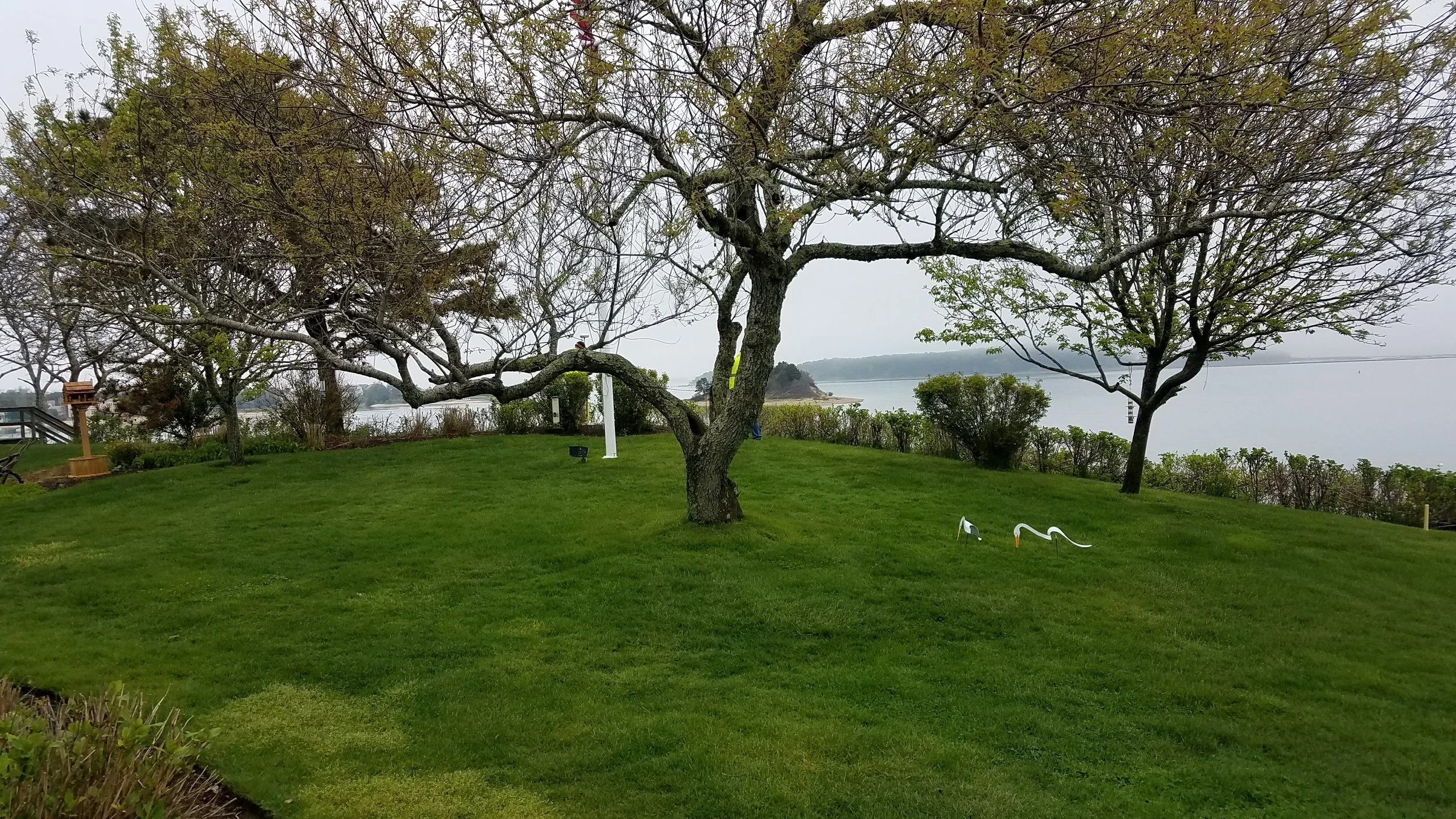
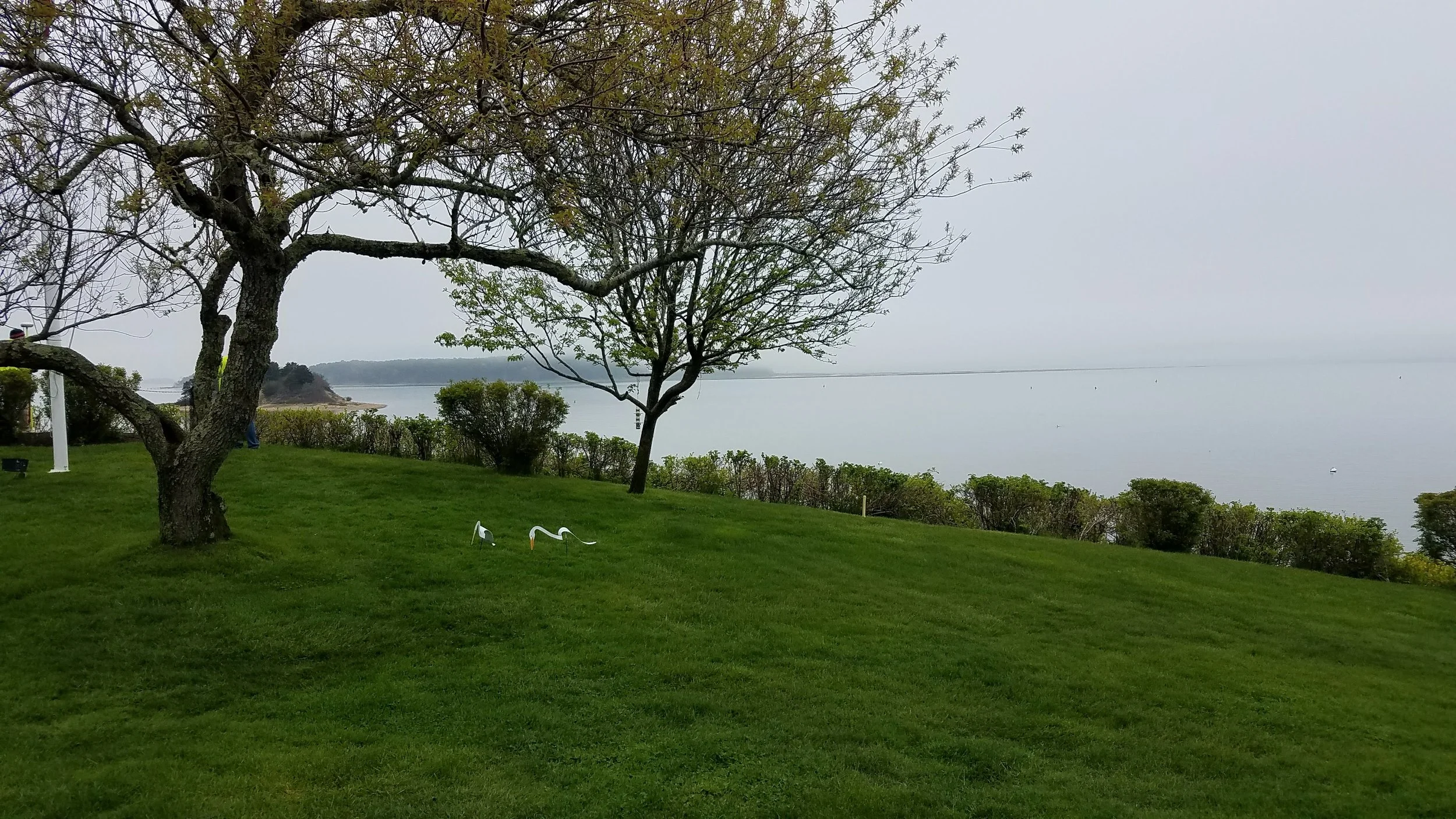
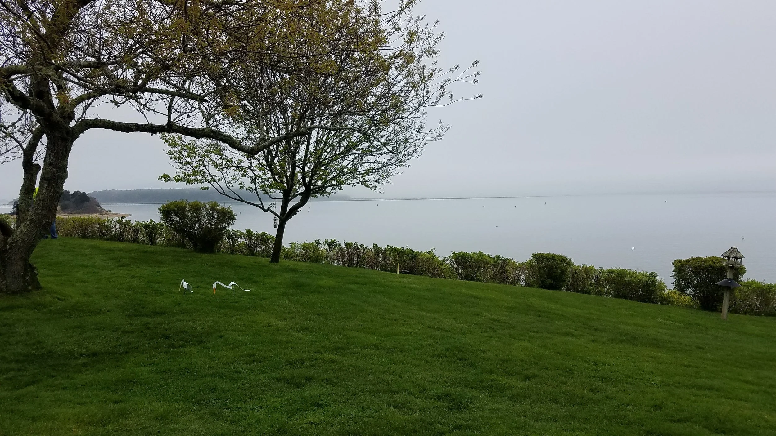
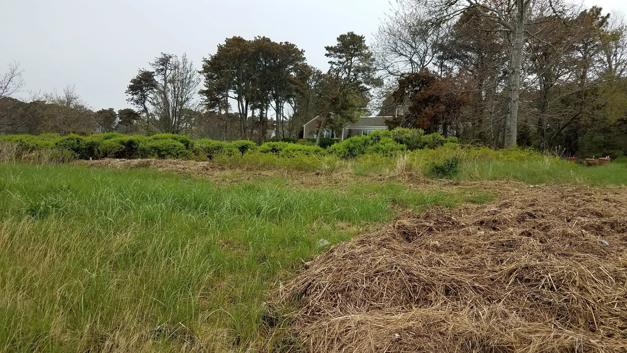
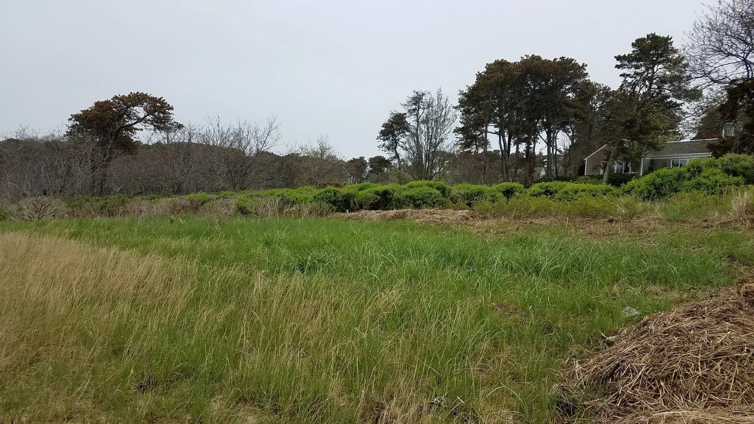
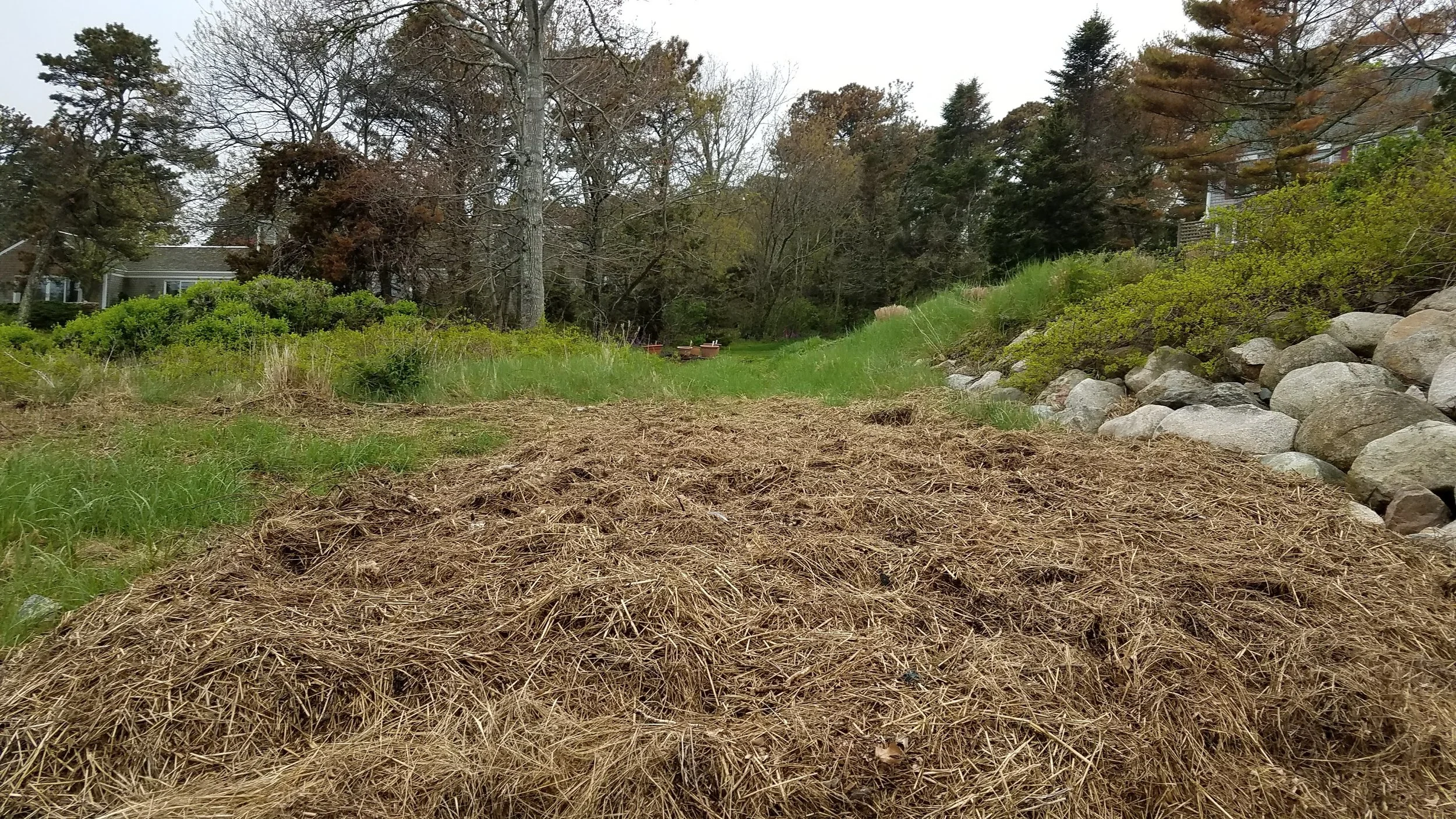
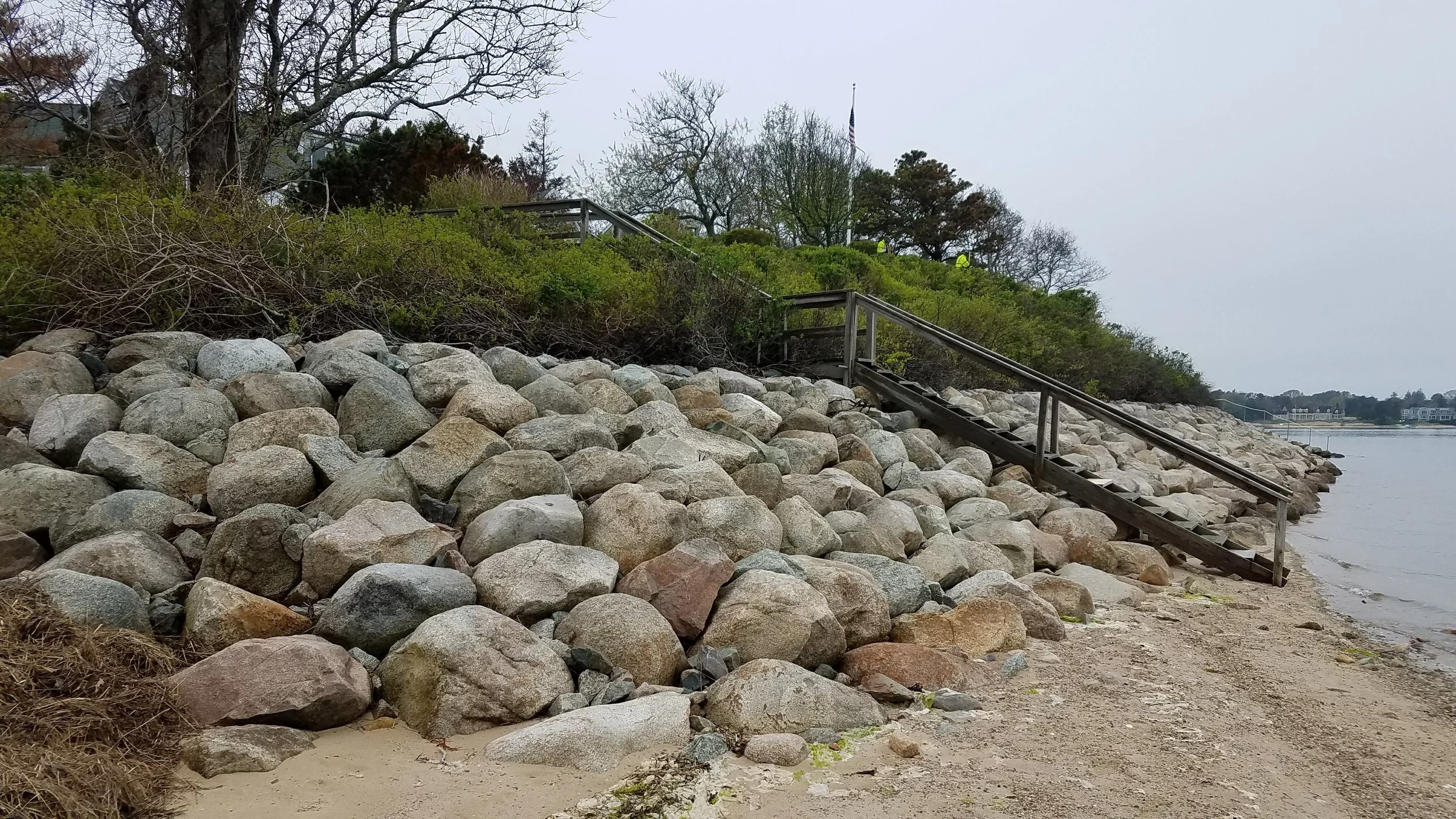
Parcel ID: 13K-29-W7
Assessors' Card
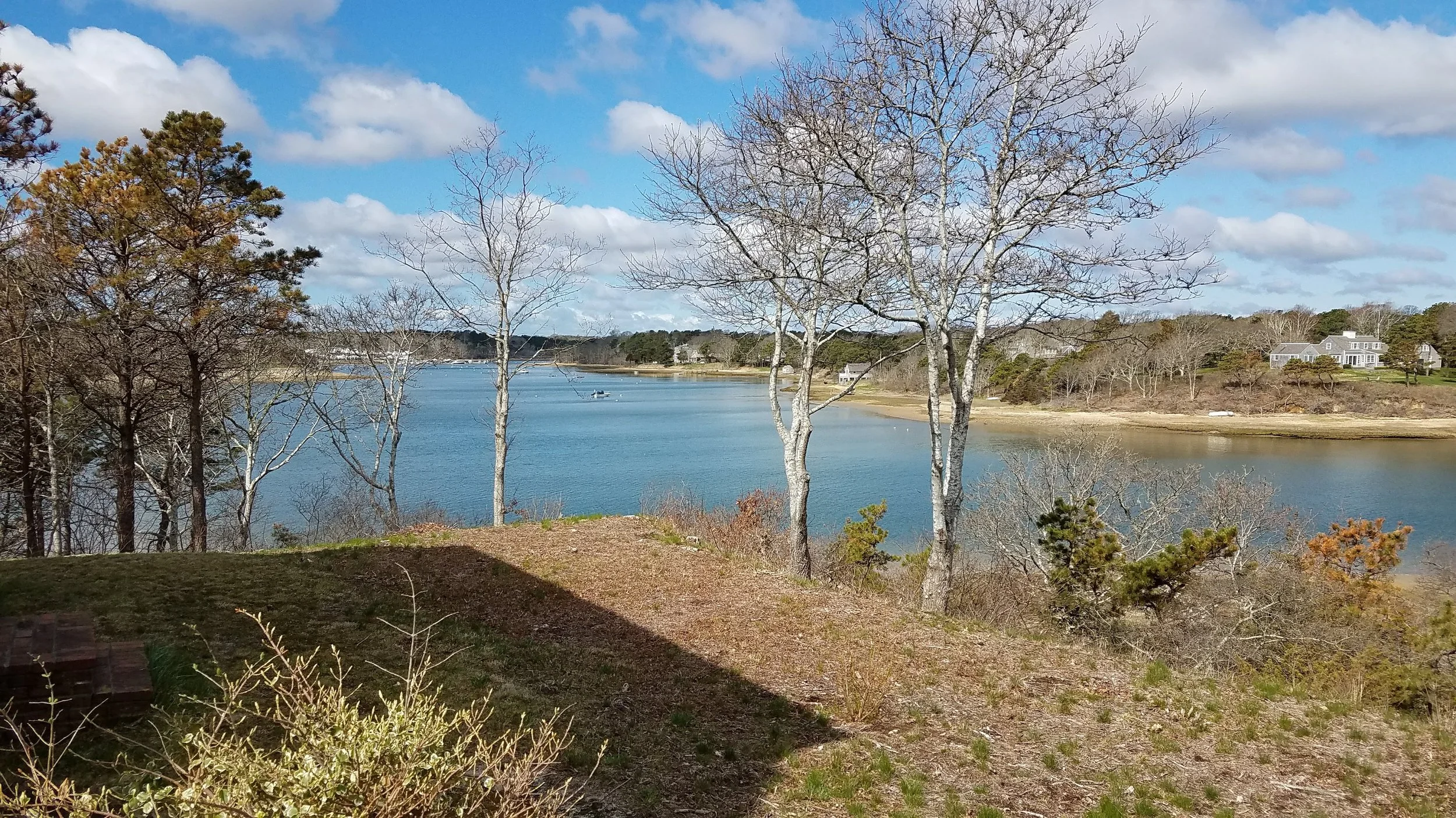
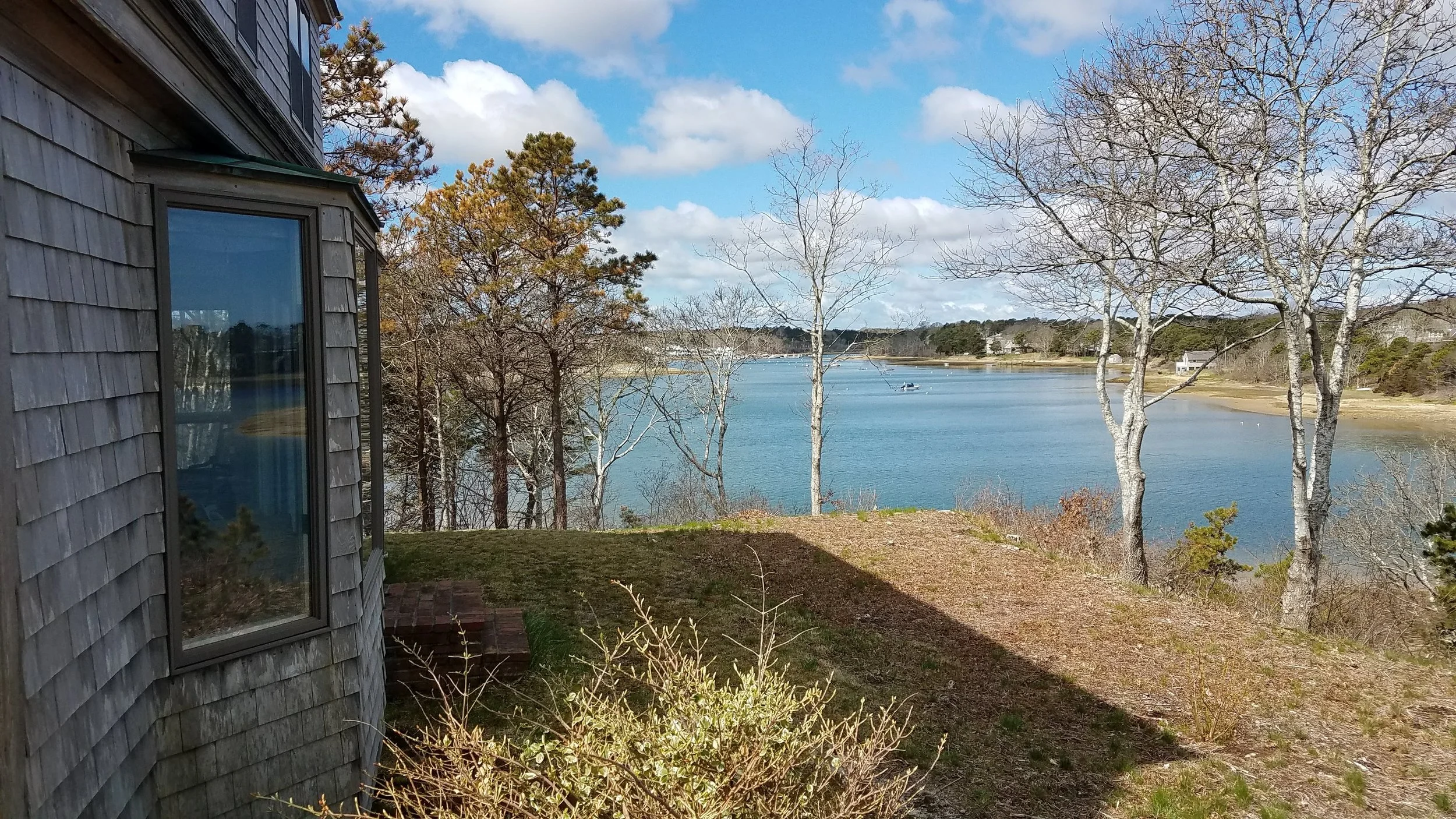
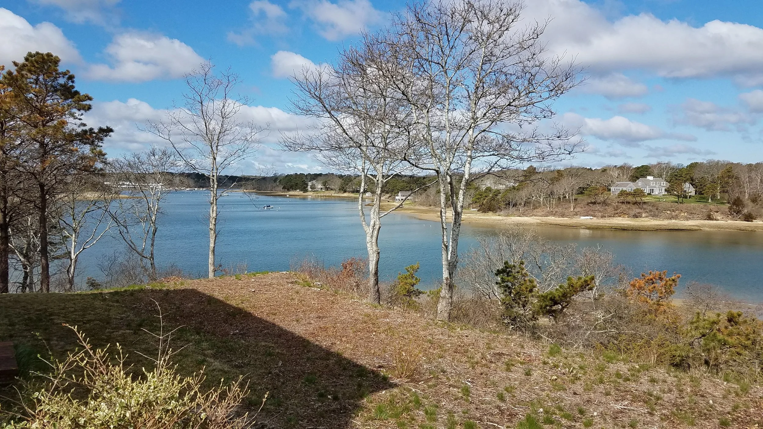
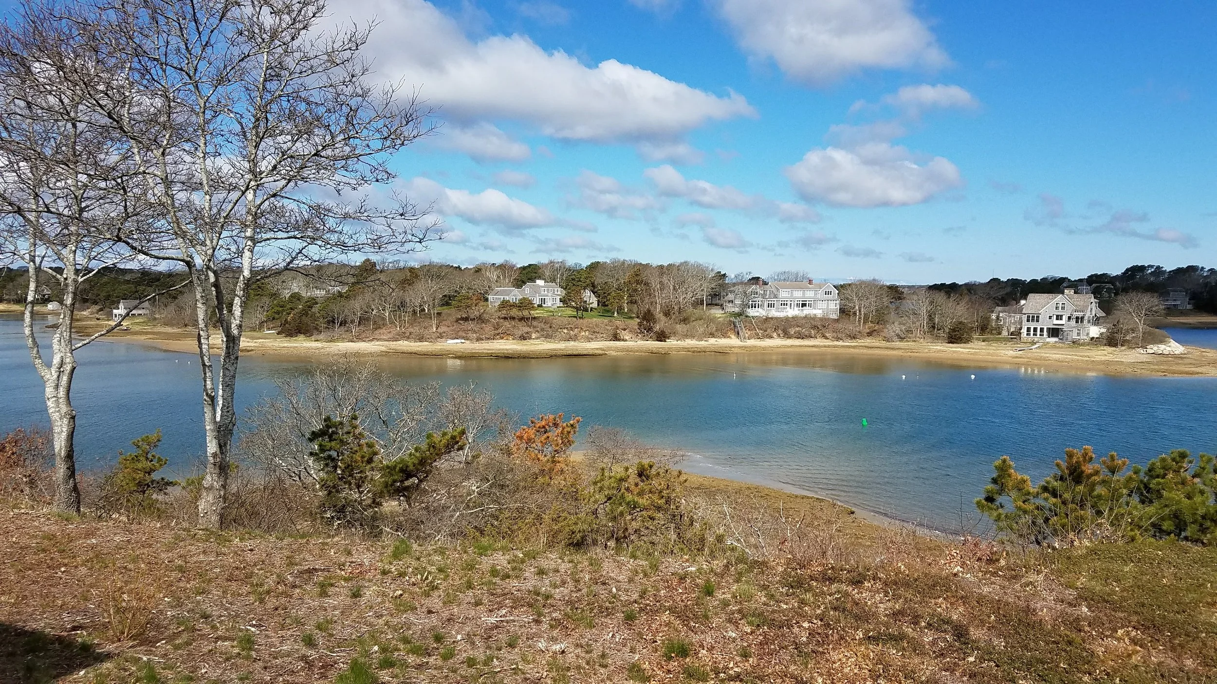
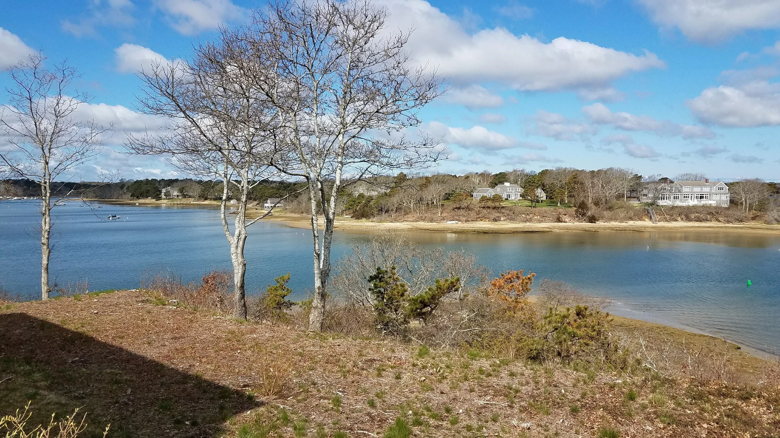
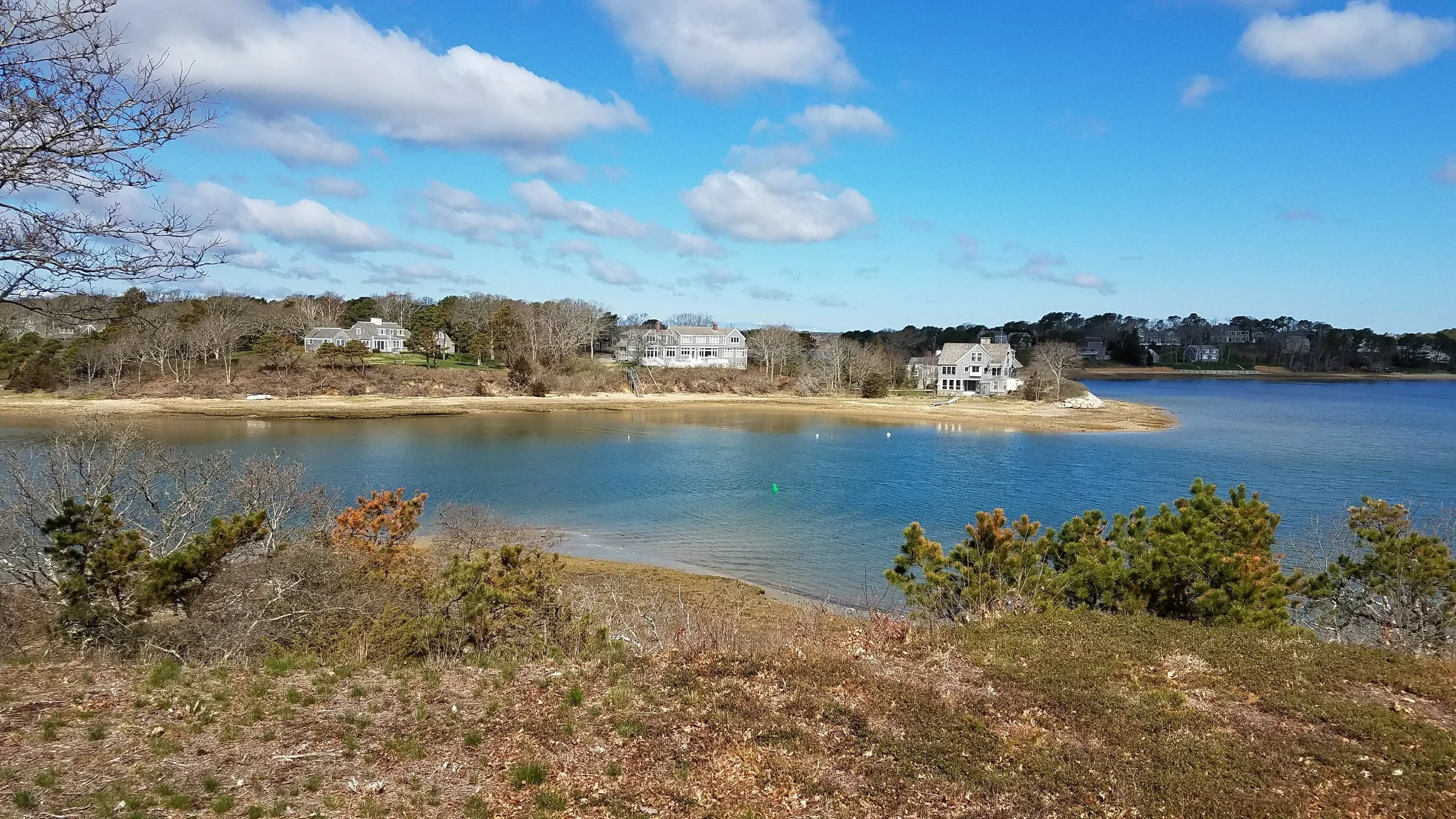
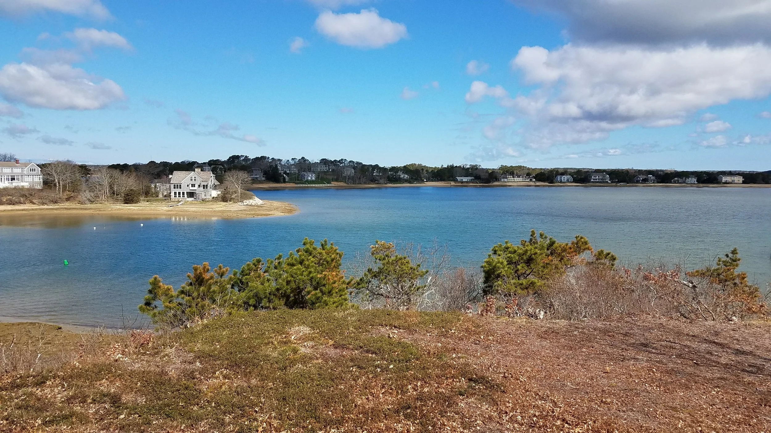
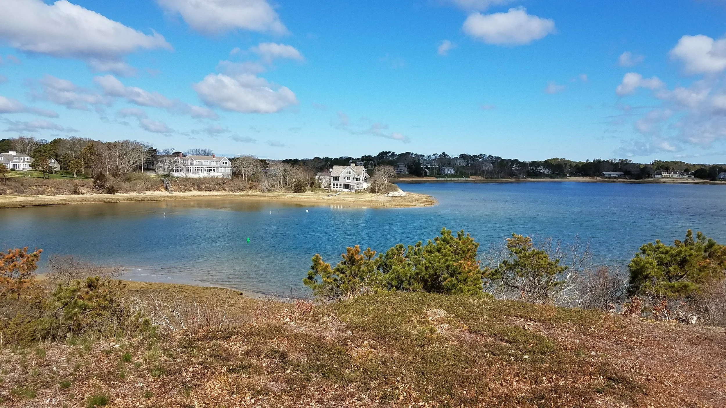
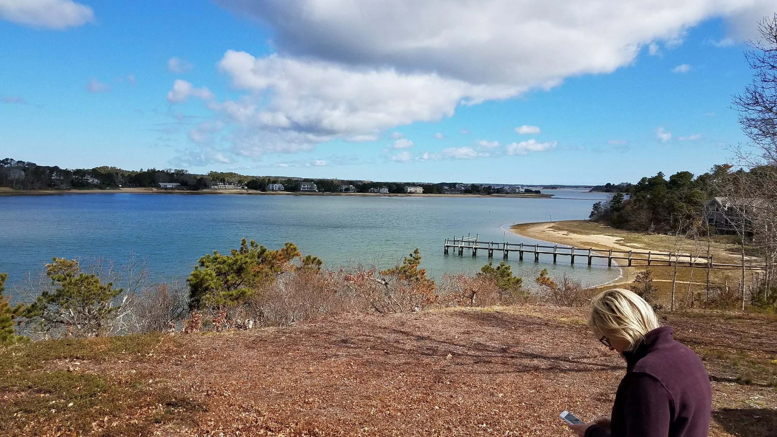
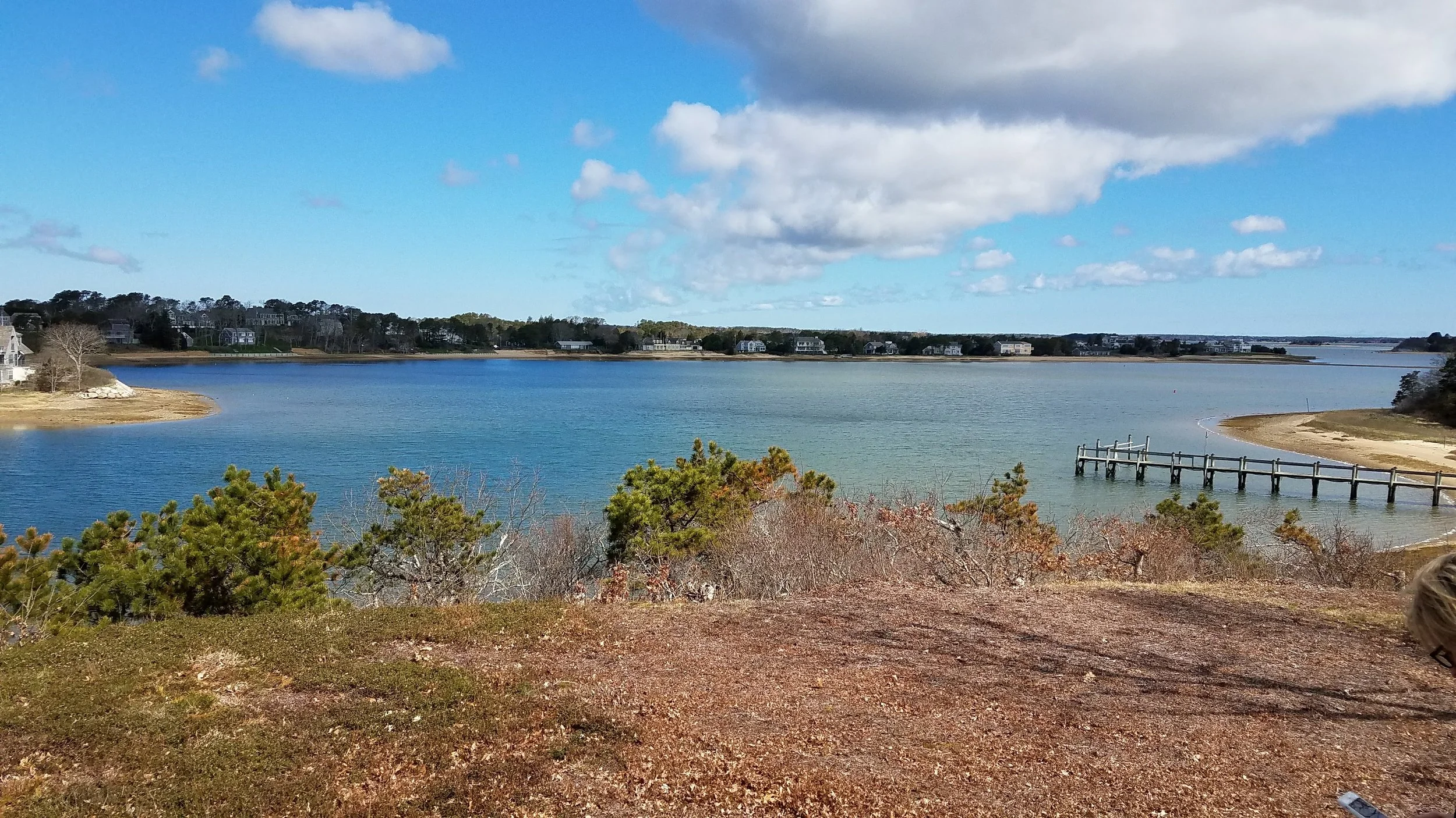
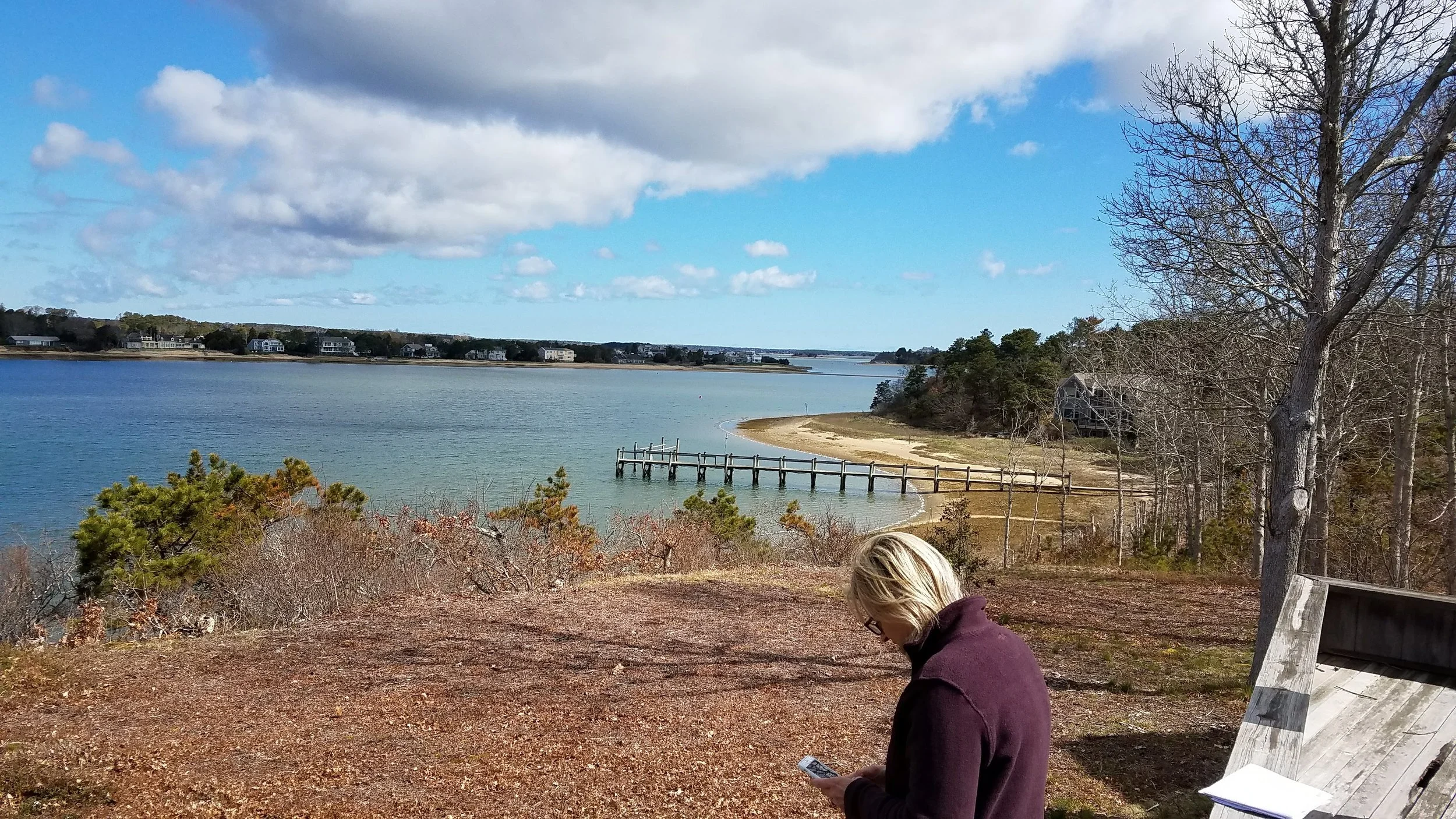

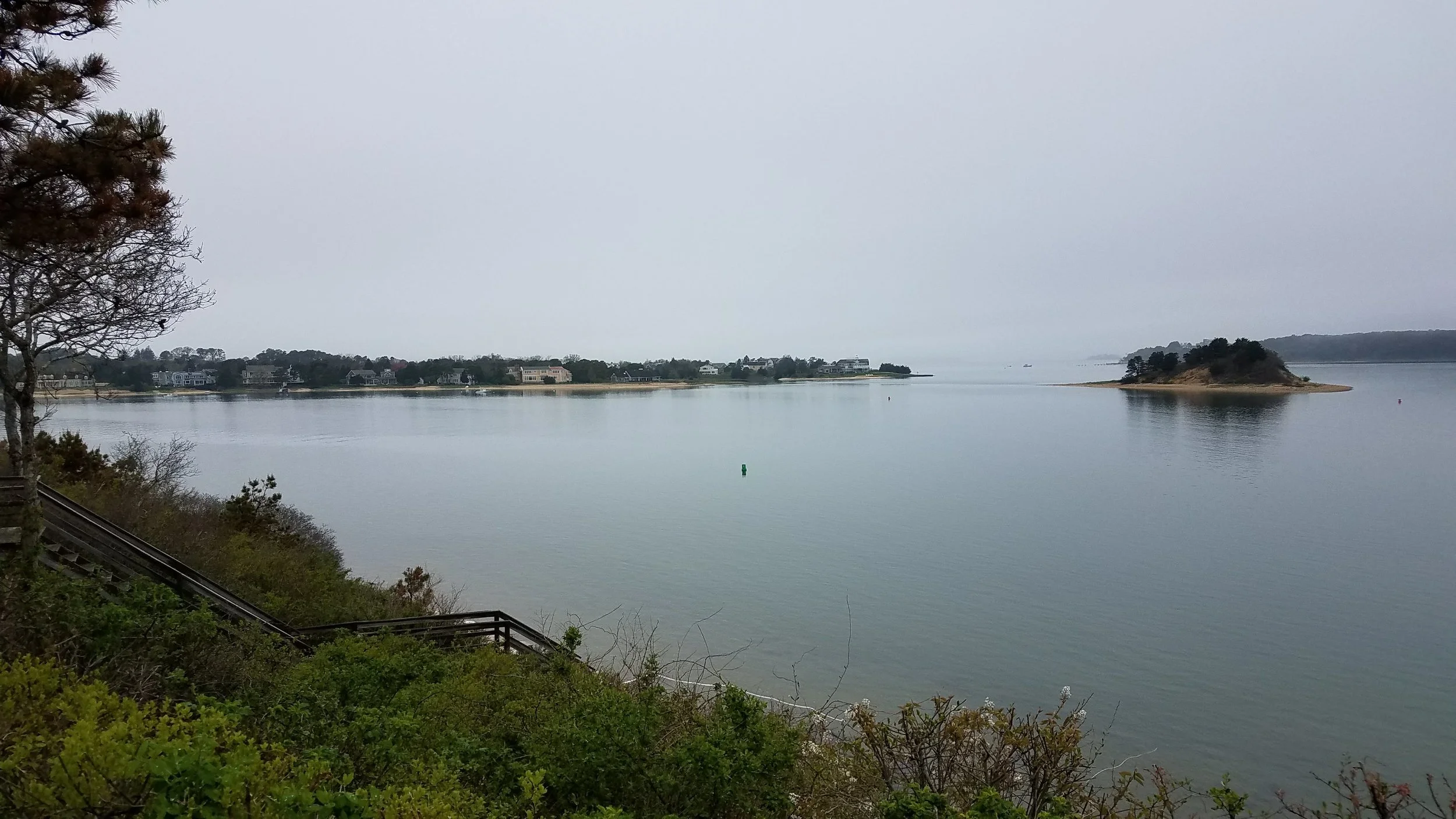
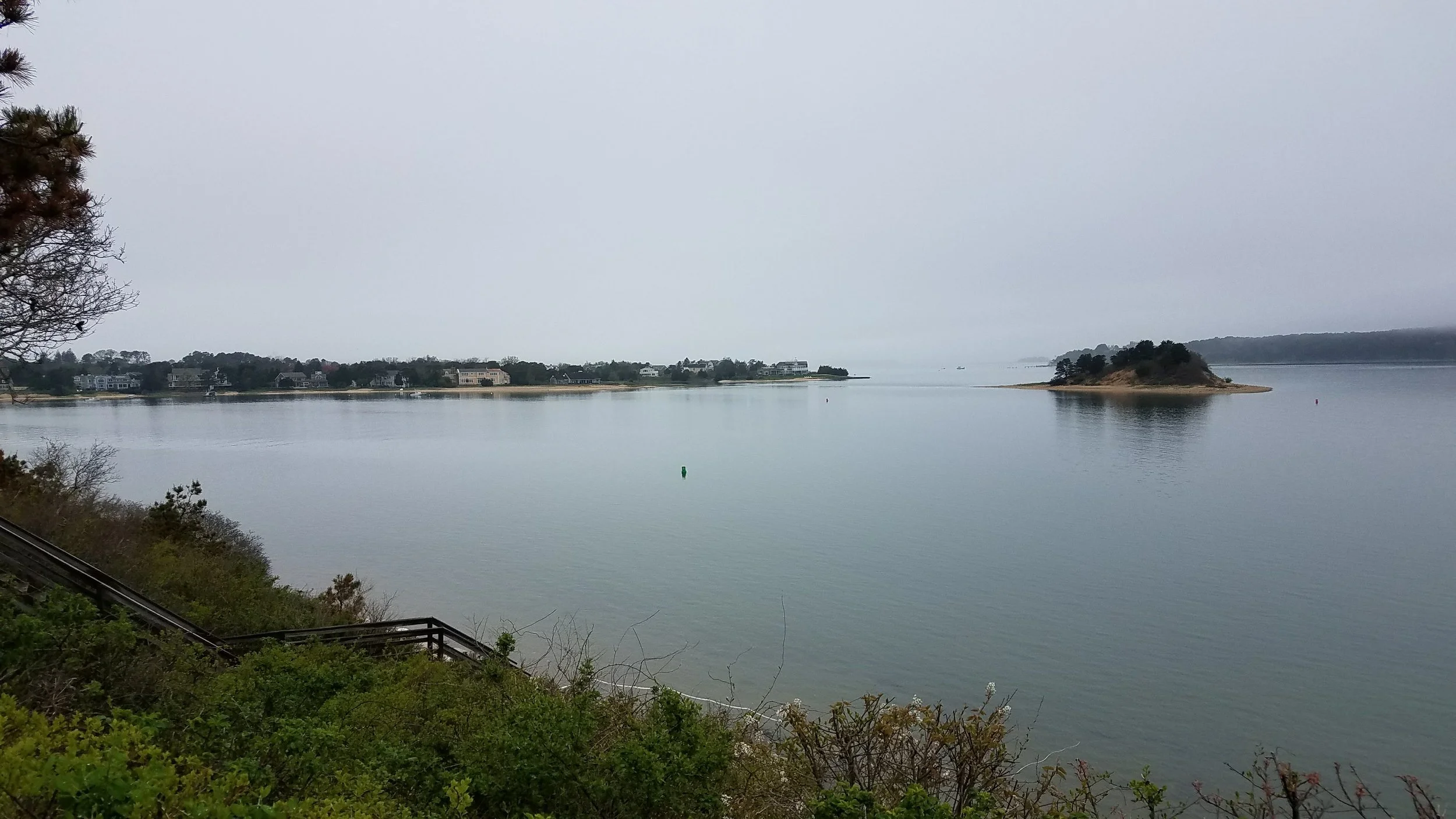
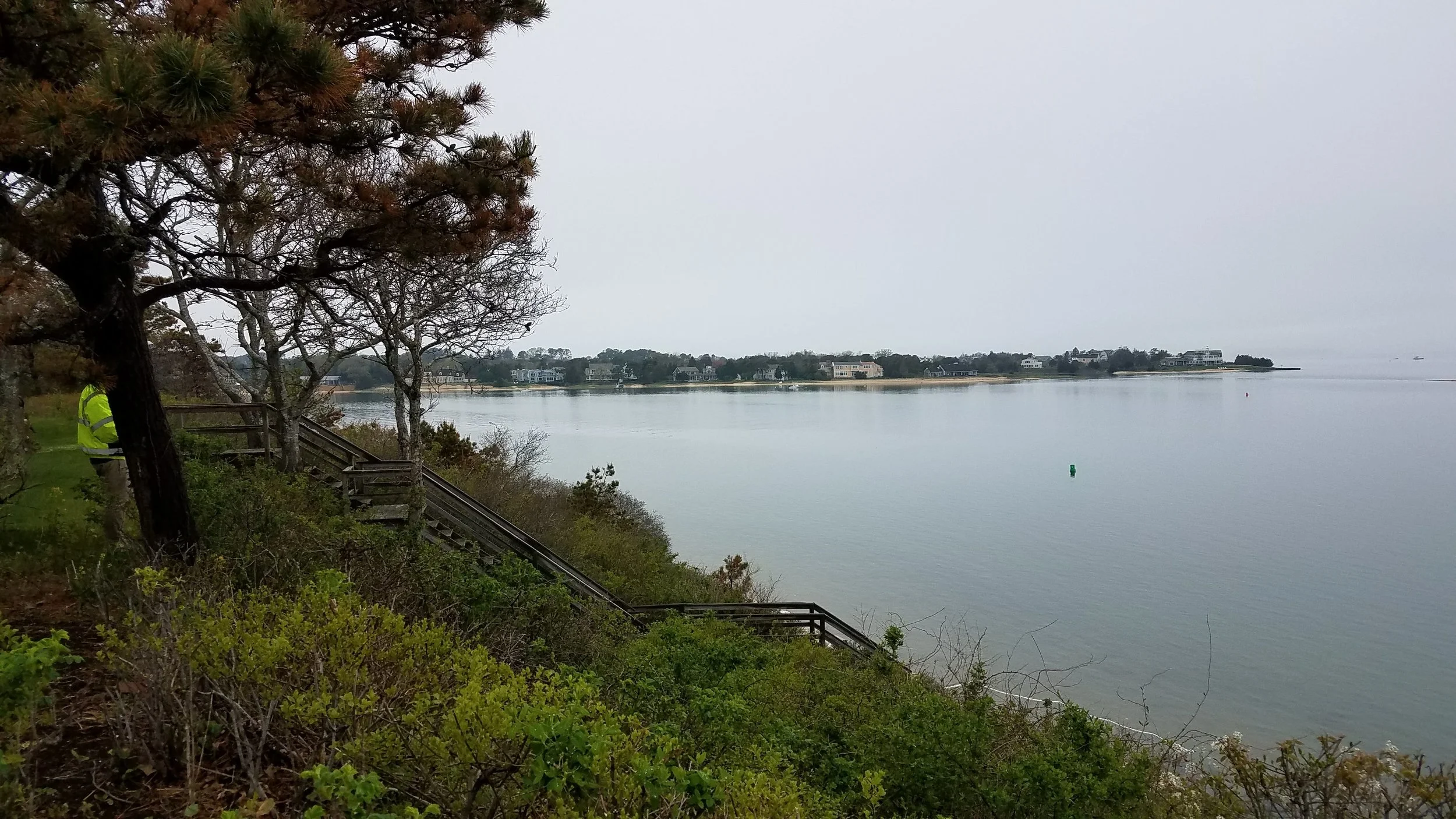
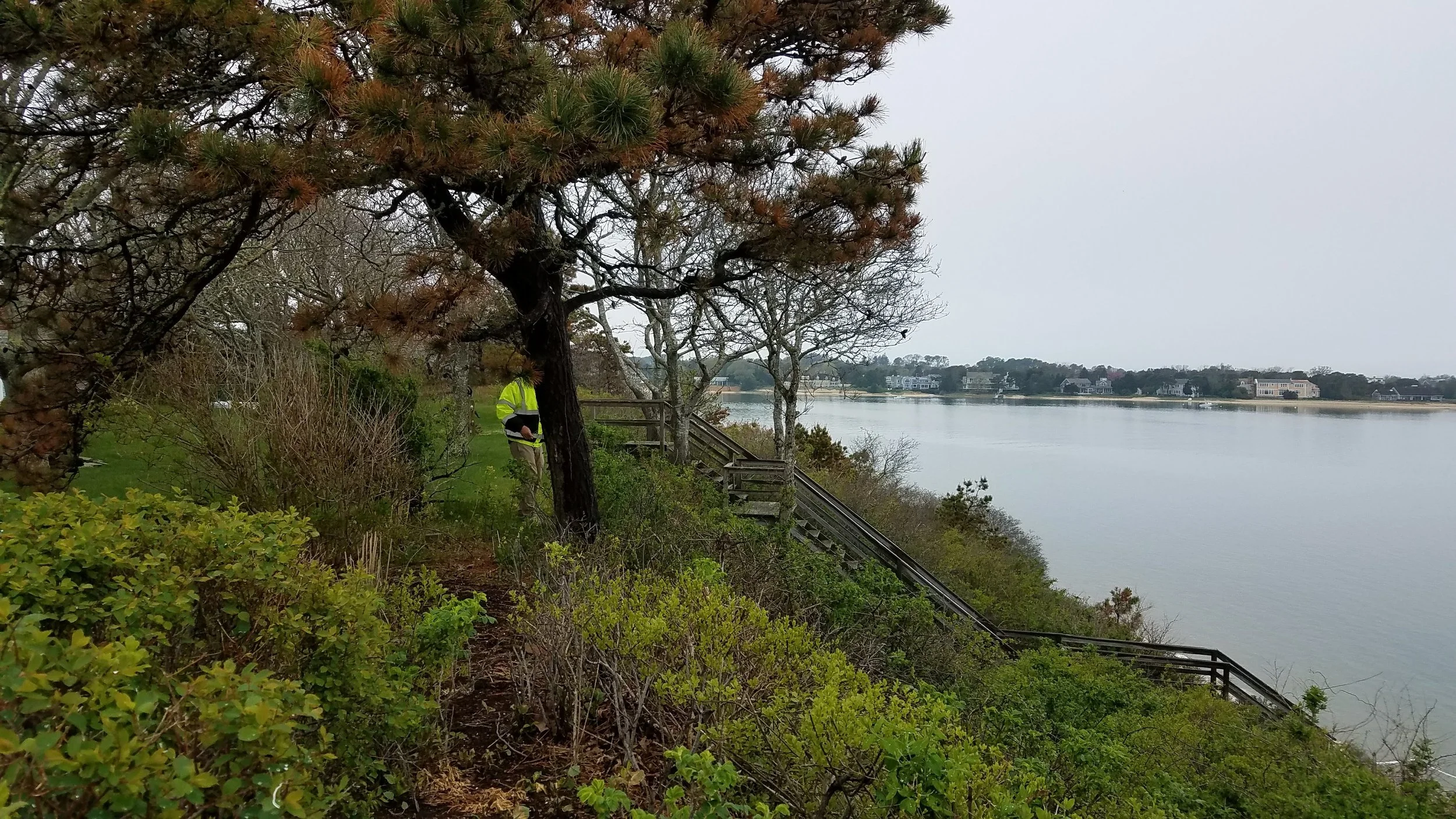
An aGIS map is available for this property. Click the image for the sales page or HERE for more information.