
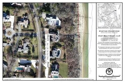
ASSESSING INFORMATION- LAST UPDATED 10-04-2018
Parcel ID: 16F-21-E9
Assessors' Card
400 Shore Rd
ASSESSING INFORMATION- LAST UPDATED 10-04-2018
Parcel ID: 16F-20-E10
Assessors' Card
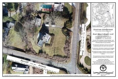
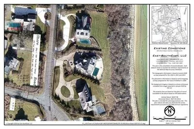
401 Shore Rd
ASSESSING INFORMATION- LAST UPDATED 10-04-2018
Parcel ID: 16F-5-S21
Assessors' Card
423 Shore Rd
ASSESSING INFORMATION- LAST UPDATED 10-04-2018
Parcel ID: 16F-6-S19
Assessors' Card
439 Shore Rd
ASSESSING INFORMATION- LAST UPDATED 10-04-2018
Parcel ID: 16F-7-S7
Assessors' Card
448 Shore Rd
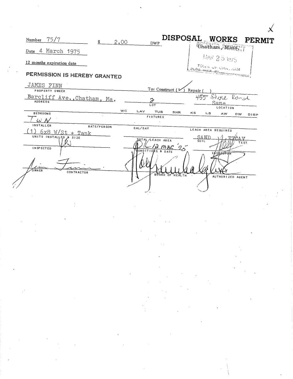
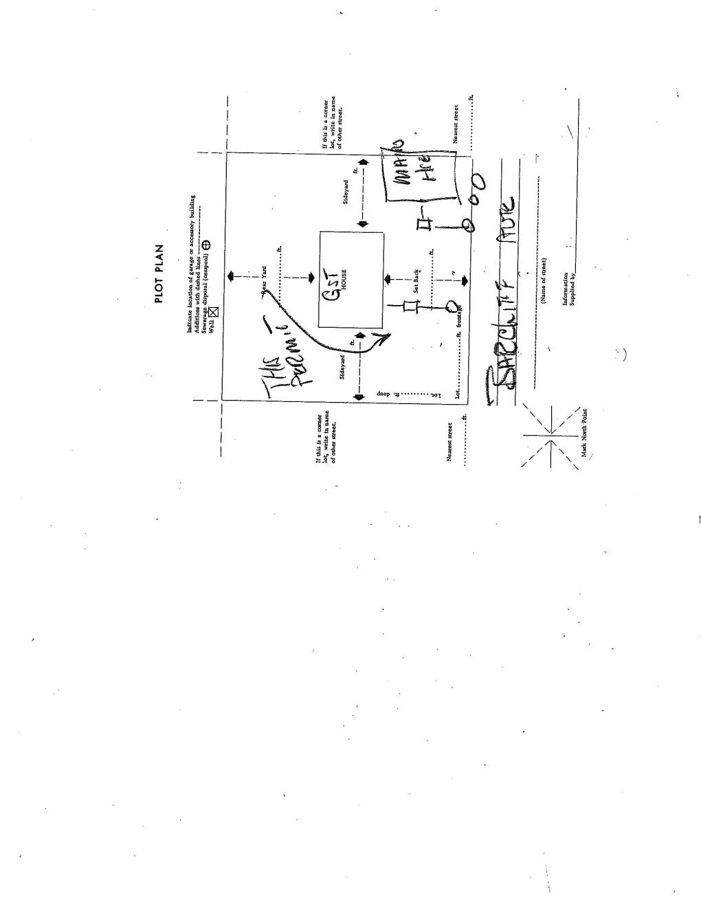
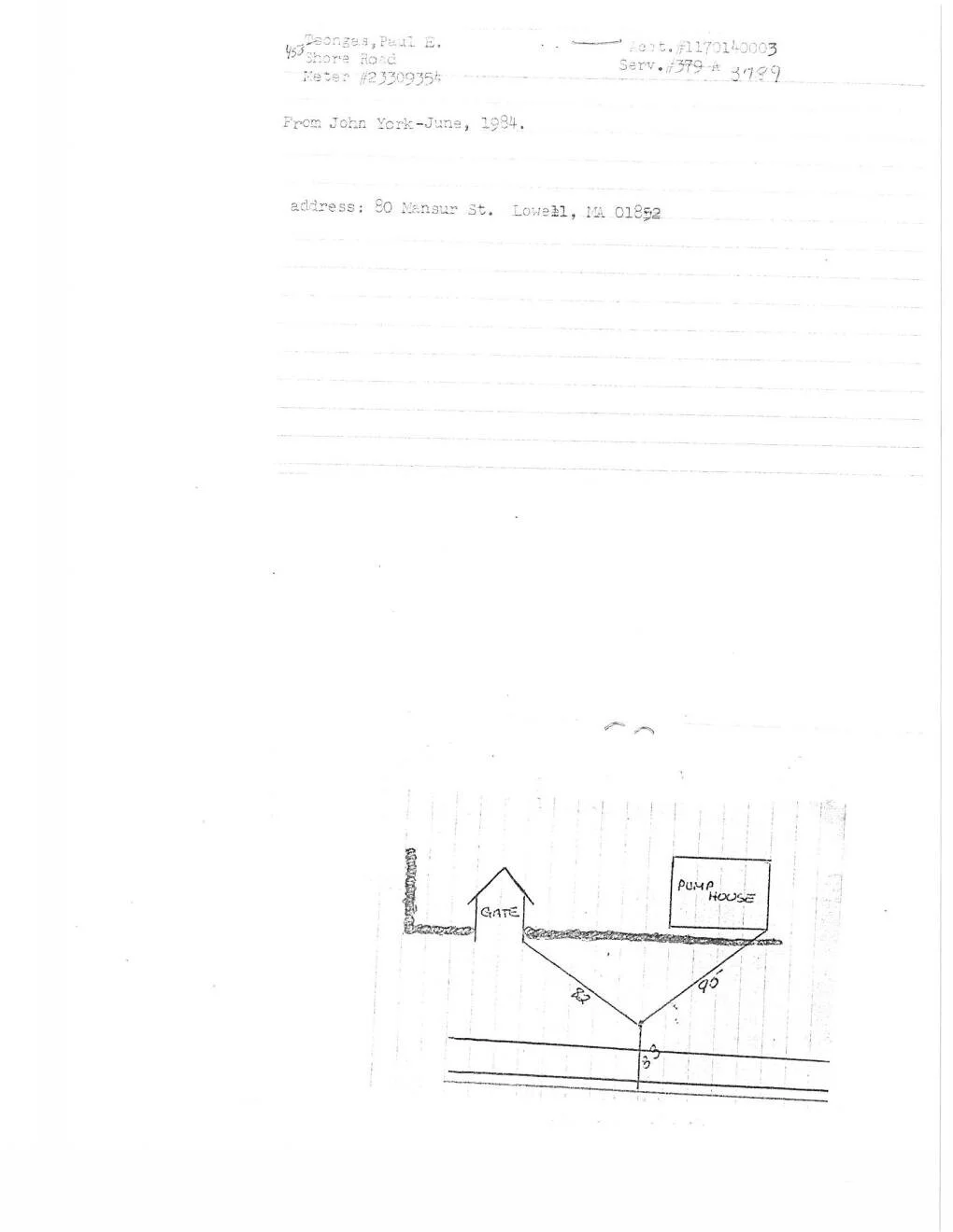
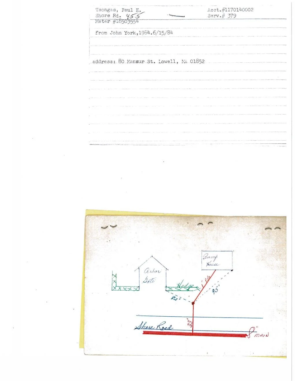
ASSESSING INFORMATION- LAST UPDATED 10-04-2018
Parcel ID: 16F-15C-A10
Assessors' Card
455 Shore Rd
ASSESSING INFORMATION- LAST UPDATED 10-04-2018
Parcel ID: 16F-13-2
Assessors' Card
An aGIS map is available for this property. Click the image for the sales page or HERE for more information.
464 Shore Rd
ASSESSING INFORMATION- LAST UPDATED 10-04-2018
Parcel ID: 16F-15B-A9
Assessors' Card
An aGIS map is available for this property. Click the image for the sales page or HERE for more information.
469 Shore Rd
ASSESSING INFORMATION- LAST UPDATED 10-04-2018
Parcel ID: 16F-14-4A
Assessors' Card
An aGIS map is available for this property. Click the image for the sales page or HERE for more information.
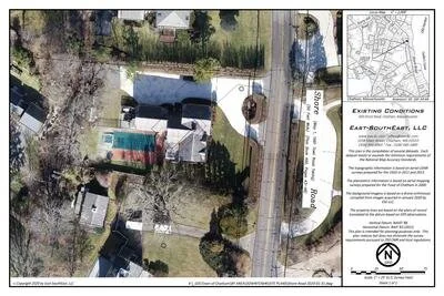
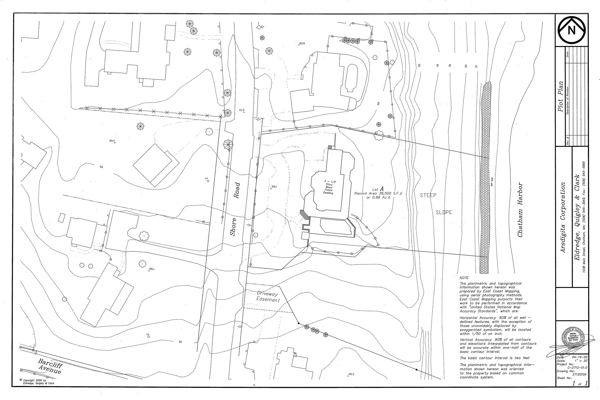
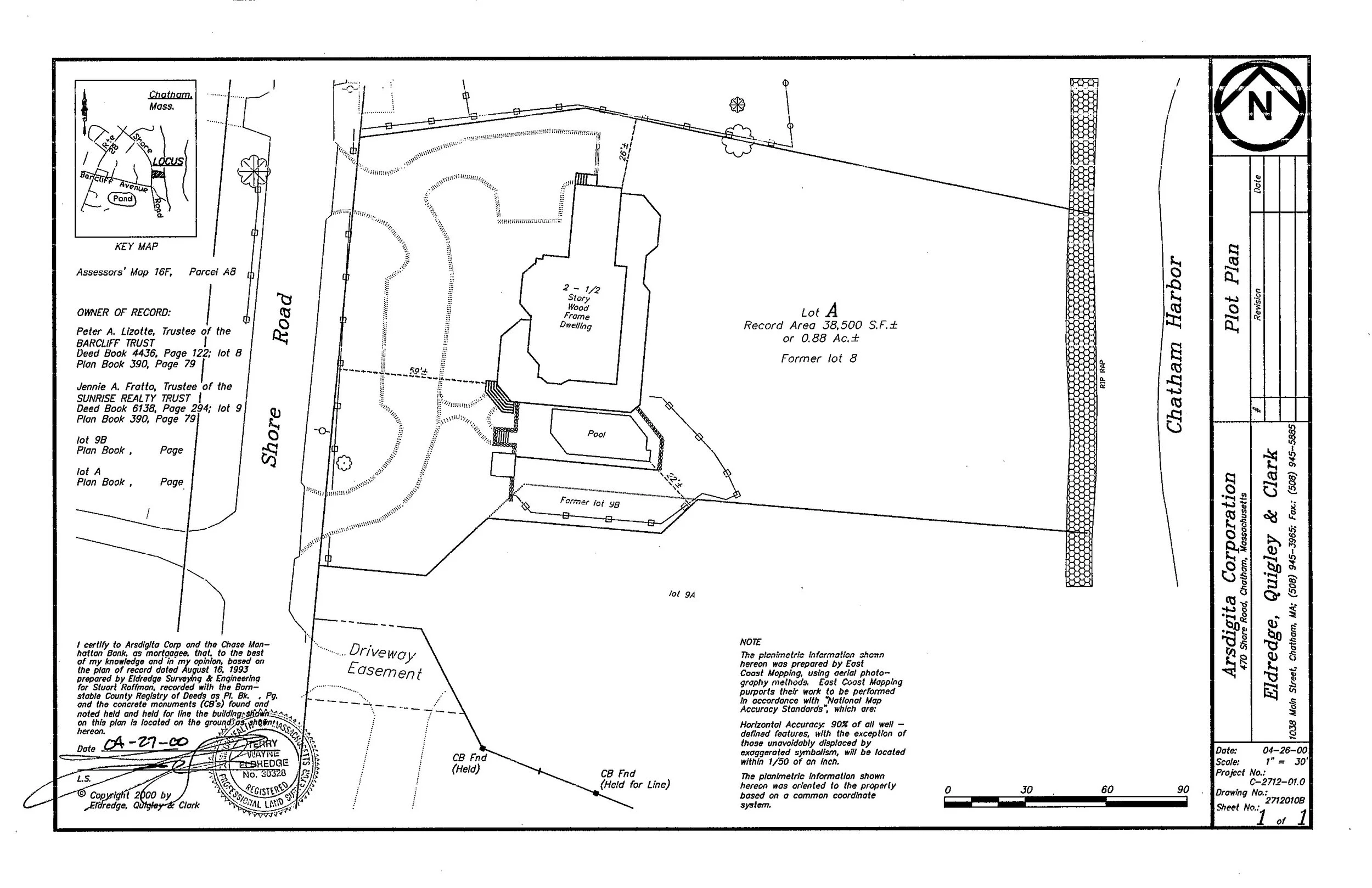
470 Shore Rd
ASSESSING INFORMATION- LAST UPDATED 10-04-2018
Parcel ID: 16F-15A-A8
Assessors' Card
An aGIS map is available for this property. Click the image for the sales page or HERE for more information.
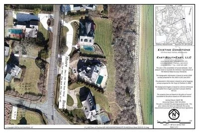
485 Shore Rd
ASSESSING INFORMATION- LAST UPDATED 10-04-2018
Parcel ID: 16G-3-A1
Assessors' Card
An aGIS map is available for this property. Click the image for the sales page or HERE for more information.
486 Shore Rd
ASSESSING INFORMATION- LAST UPDATED 10-04-2018
Parcel ID: 16F-15-A7
Assessors' Card
An aGIS map is available for this property. Click the image for the sales page or HERE for more information.
498 Shore Rd
ASSESSING INFORMATION- LAST UPDATED 10-04-2018
Parcel ID: 16G-3E-A6
Assessors' Card
An aGIS map is available for this property. Click the image for the sales page or HERE for more information.
499 Shore Rd
ASSESSING INFORMATION- LAST UPDATED 10-04-2018
Parcel ID: 16G-3C-A4
Assessors' Card
An aGIS map is available for this property. Click the image for the sales page or HERE for more information.
500 Shore Rd
ASSESSING INFORMATION- LAST UPDATED 10-04-2018
Parcel ID: 16G-3D-A5
Assessors' Card
An aGIS map is available for this property. Click the image for the sales page or HERE for more information.
520 Shore Rd
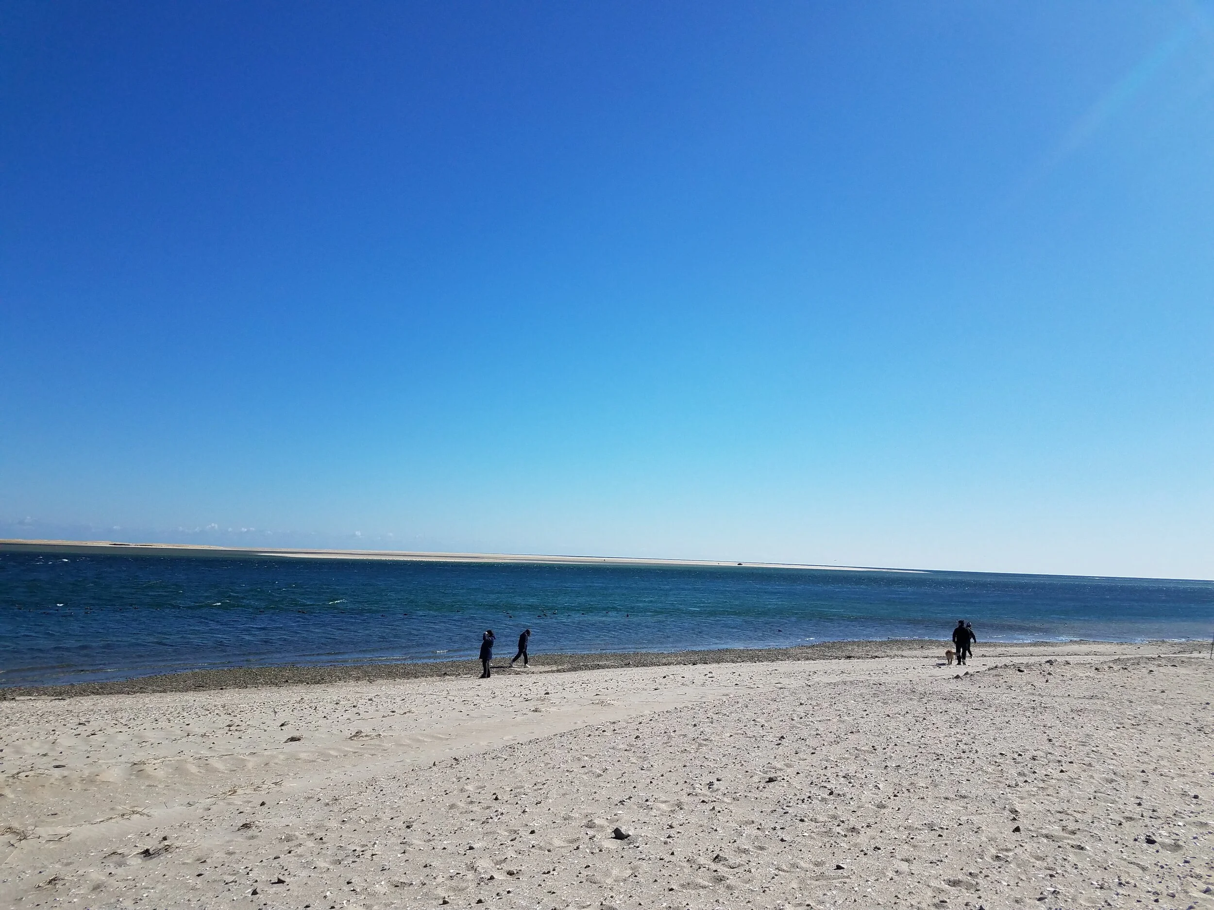
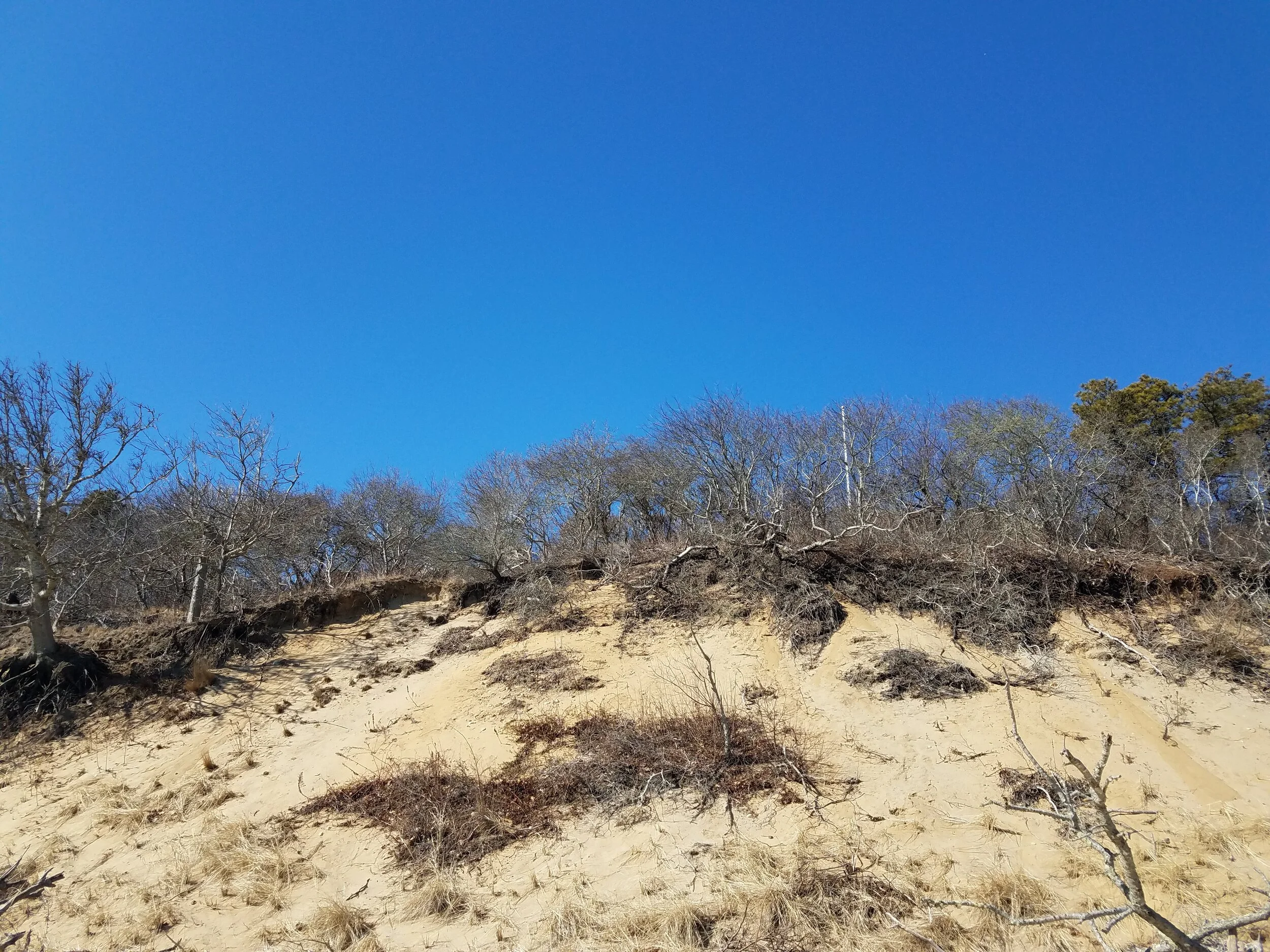
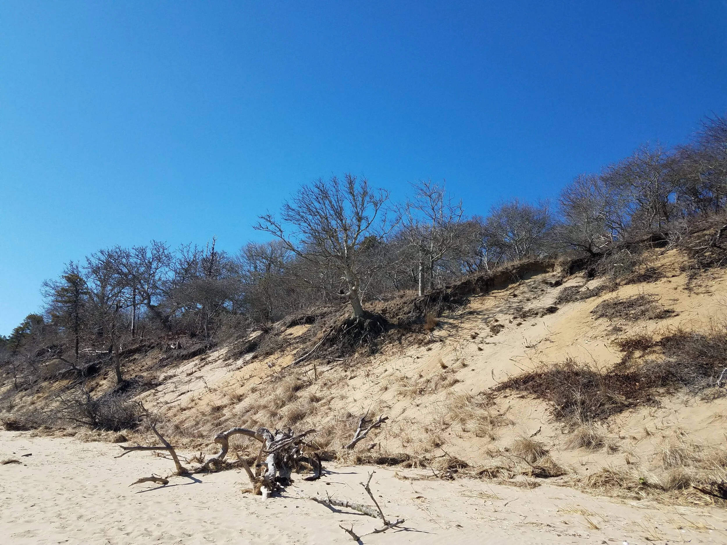
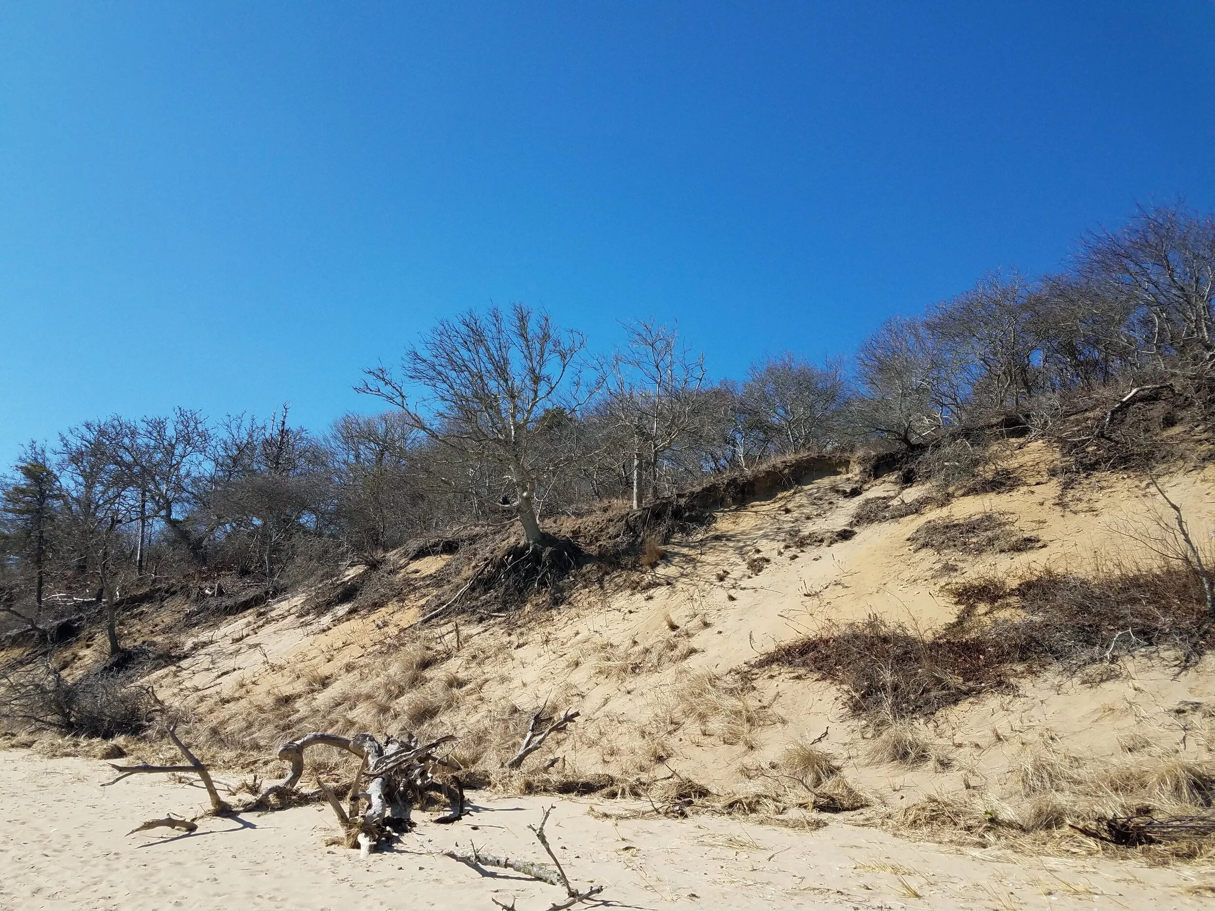
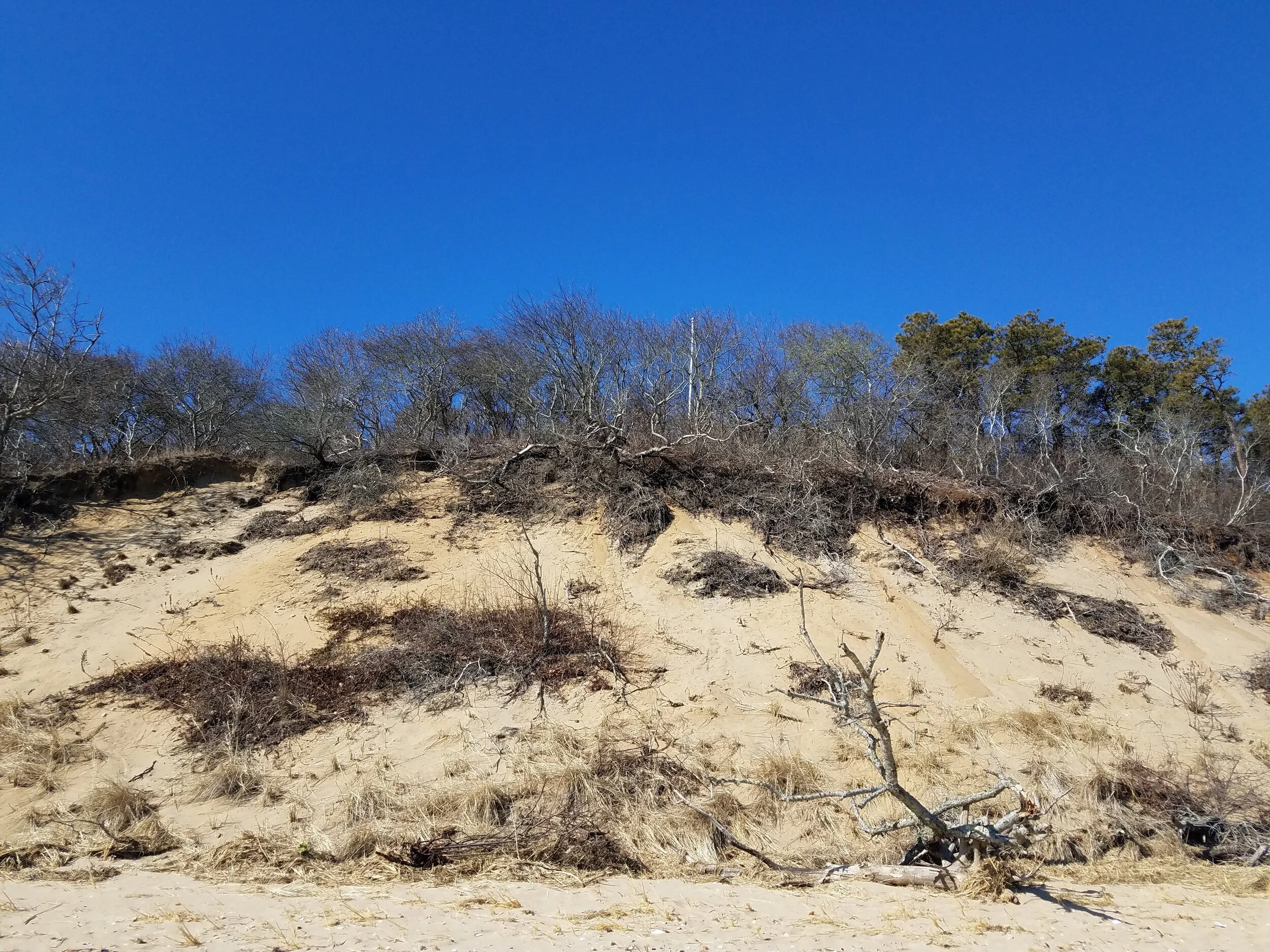
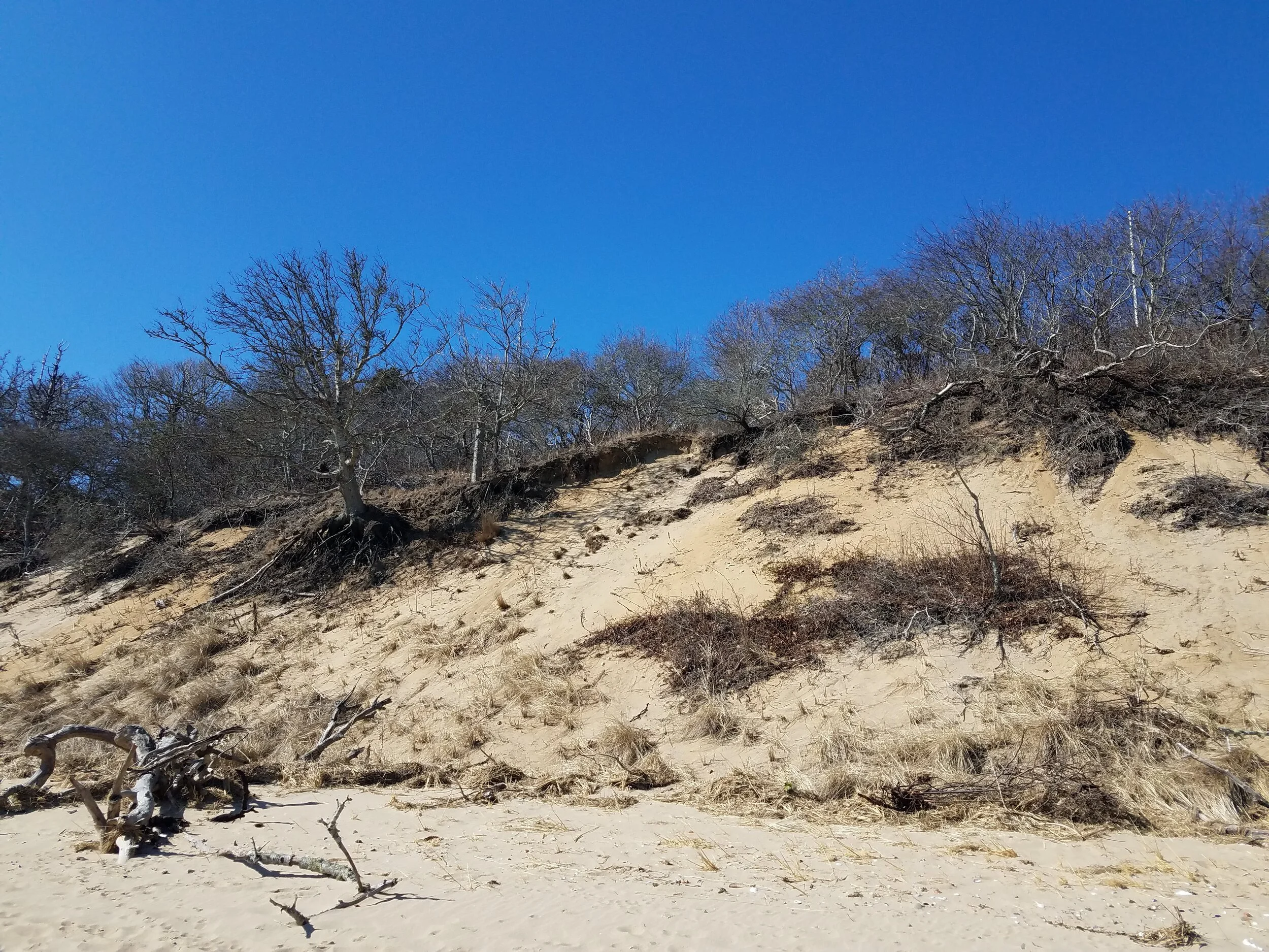
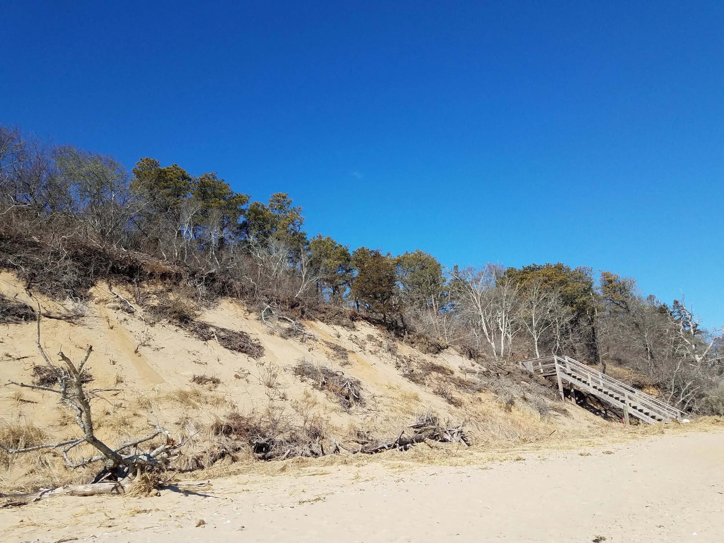
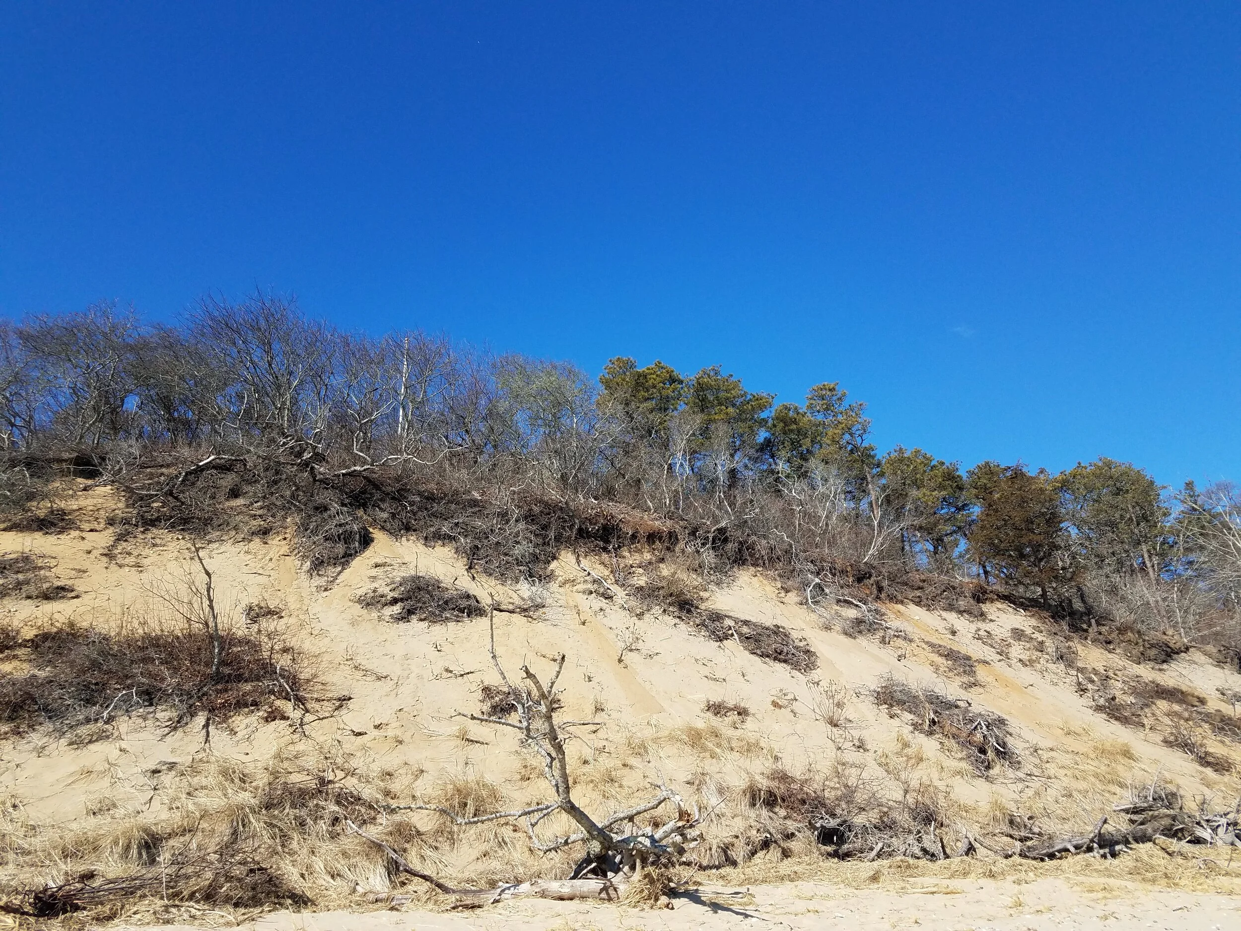
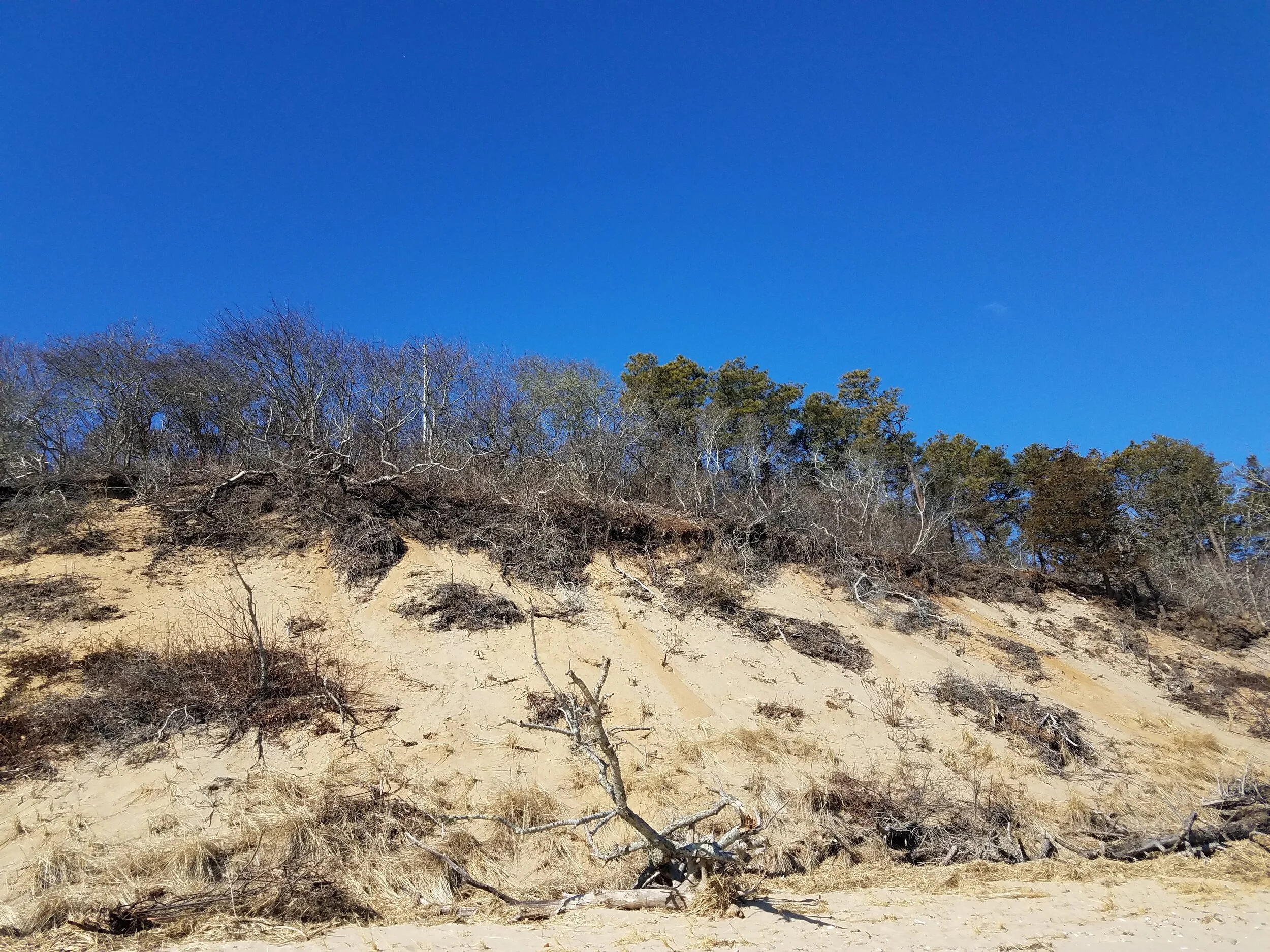
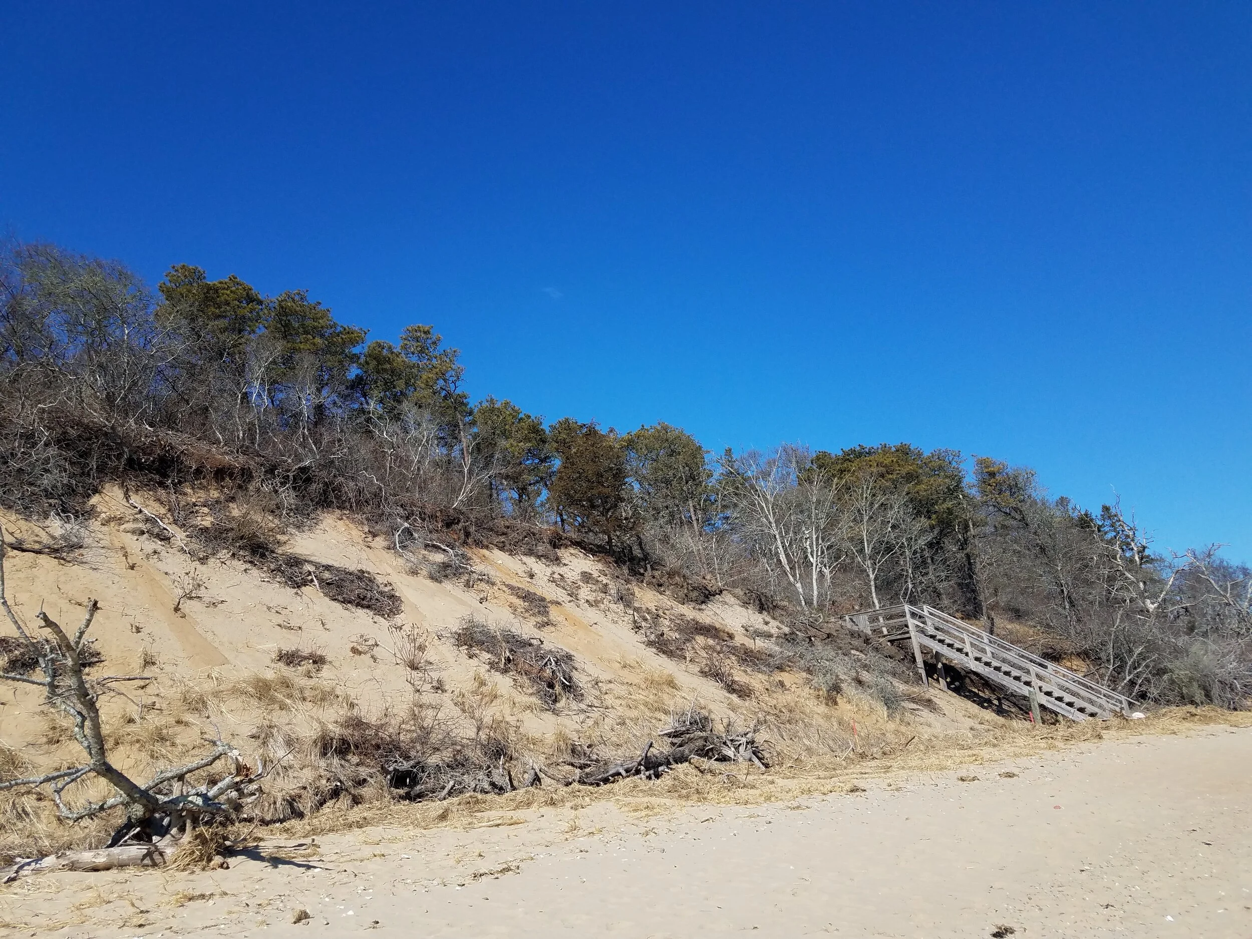
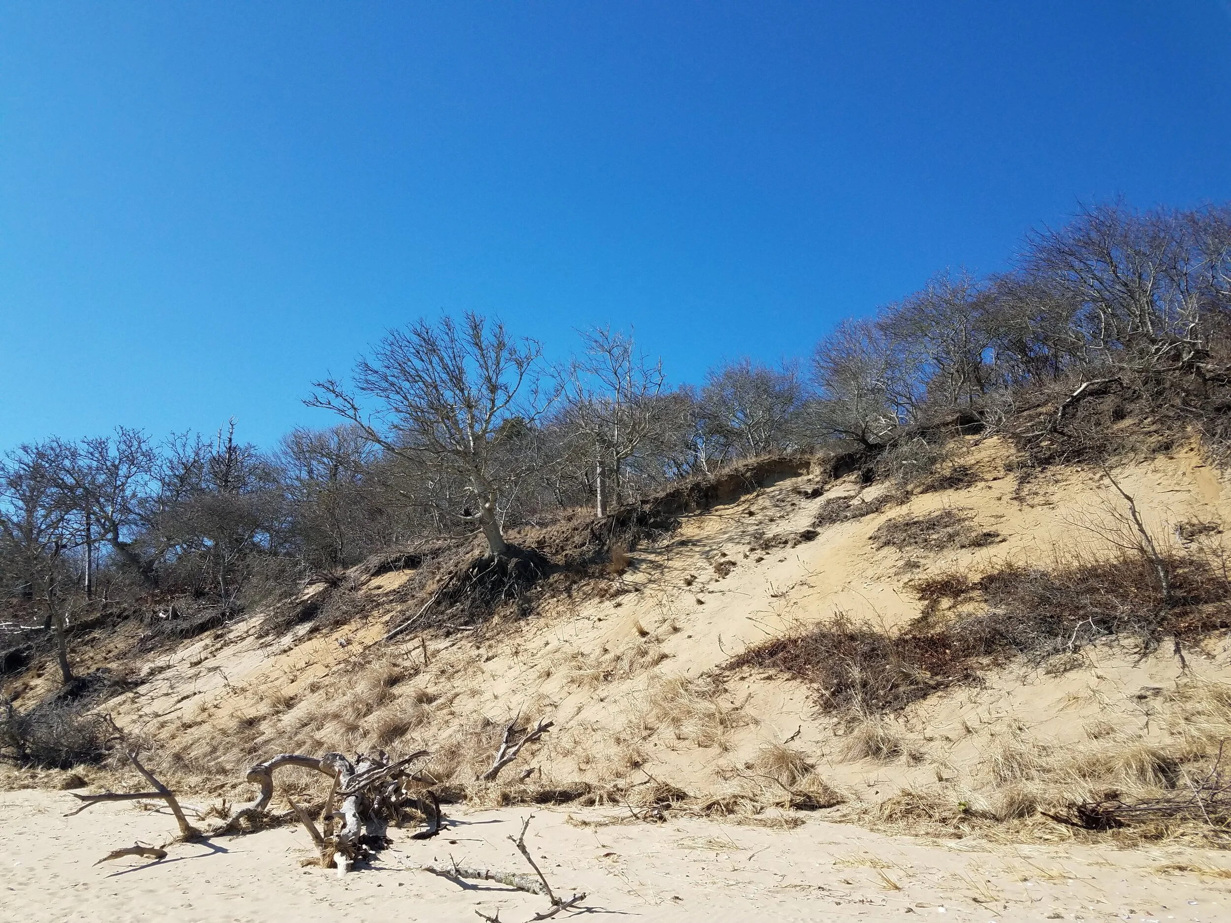
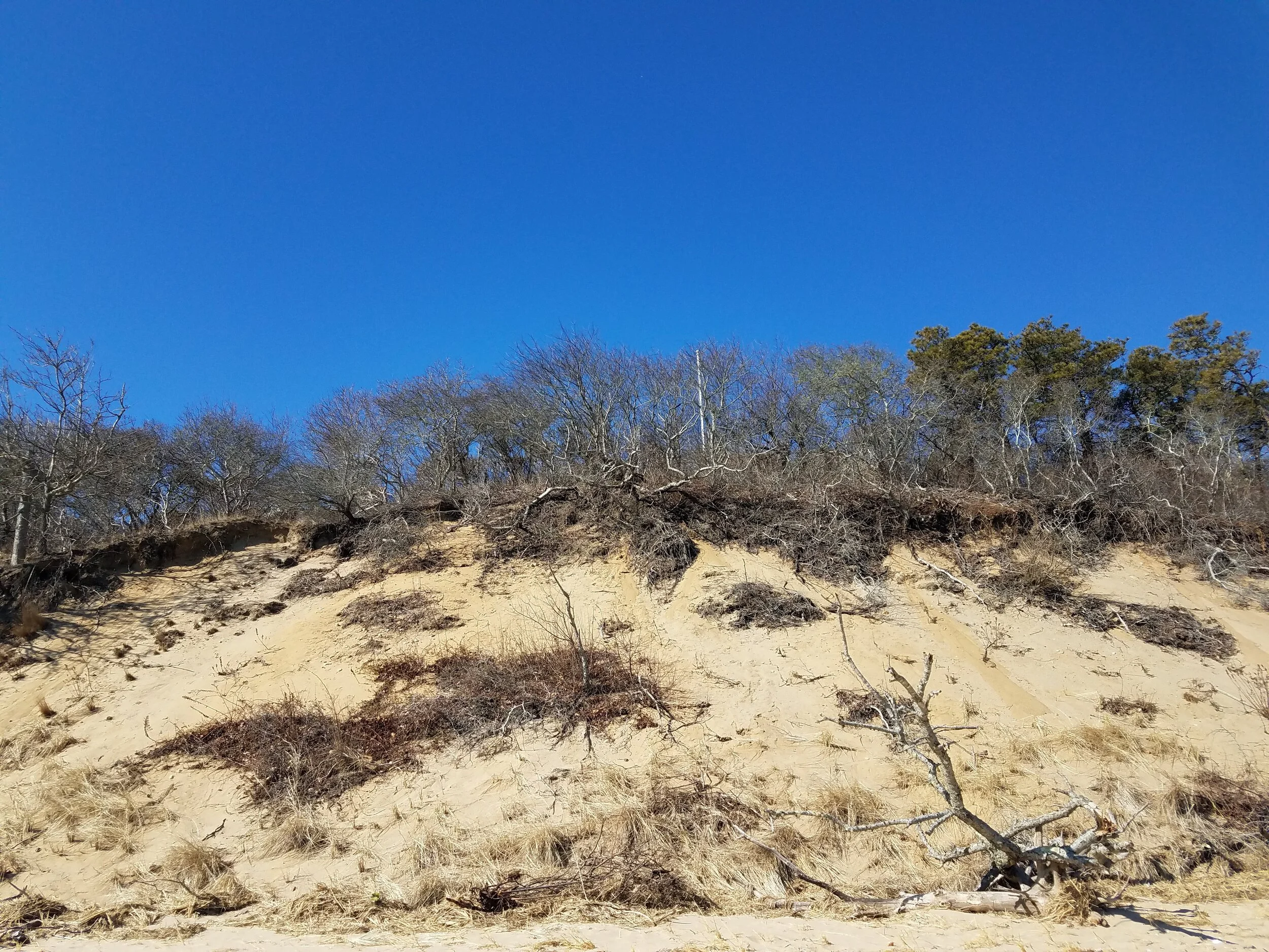
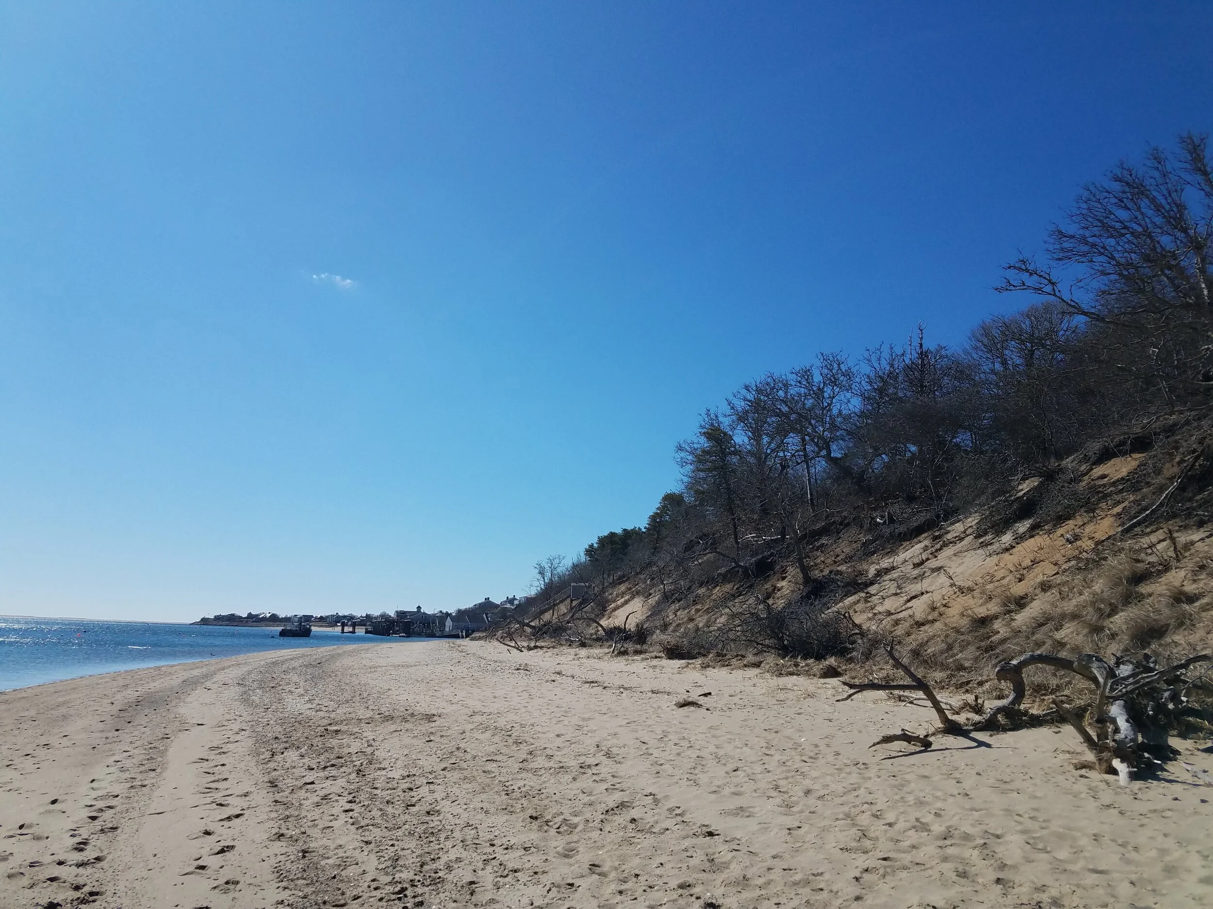
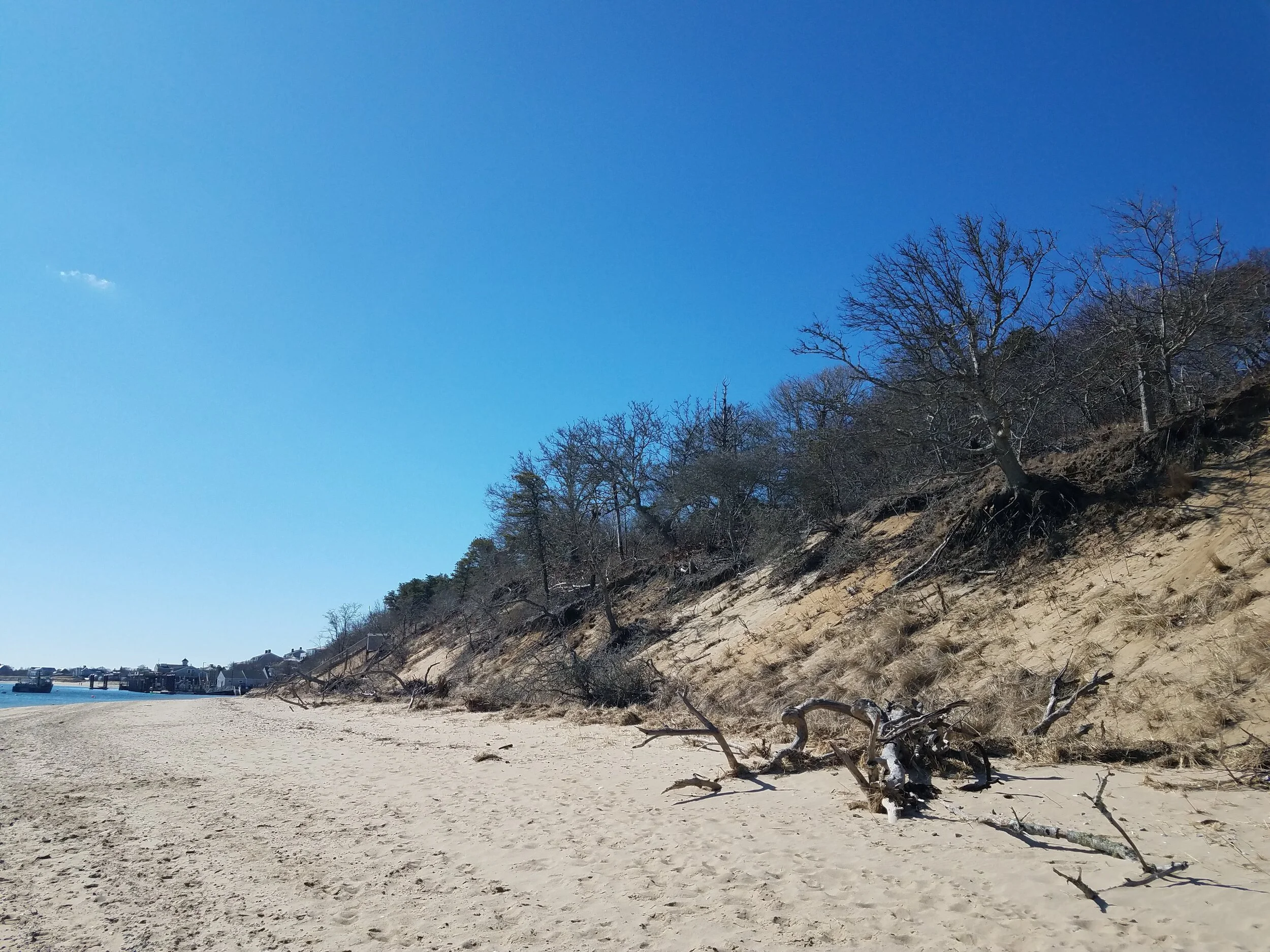
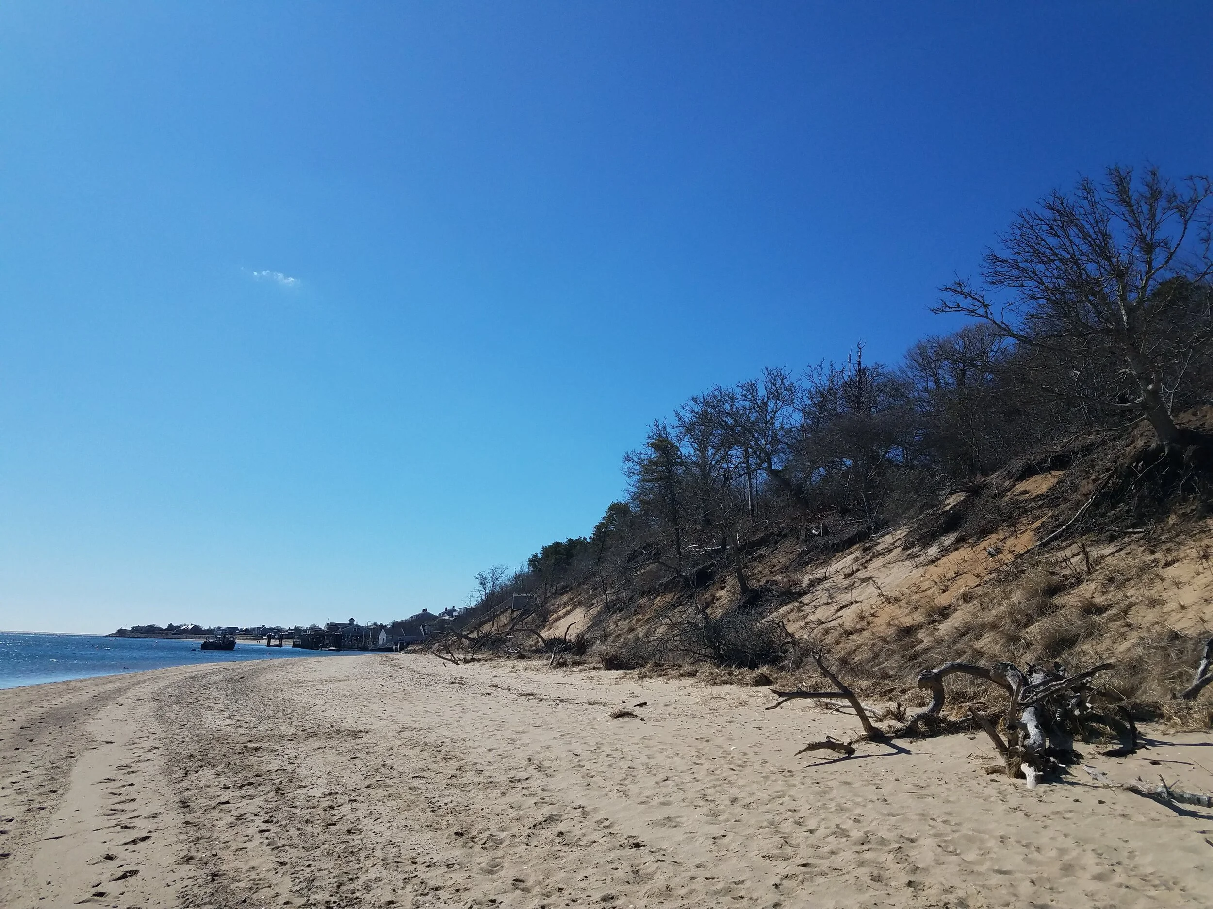
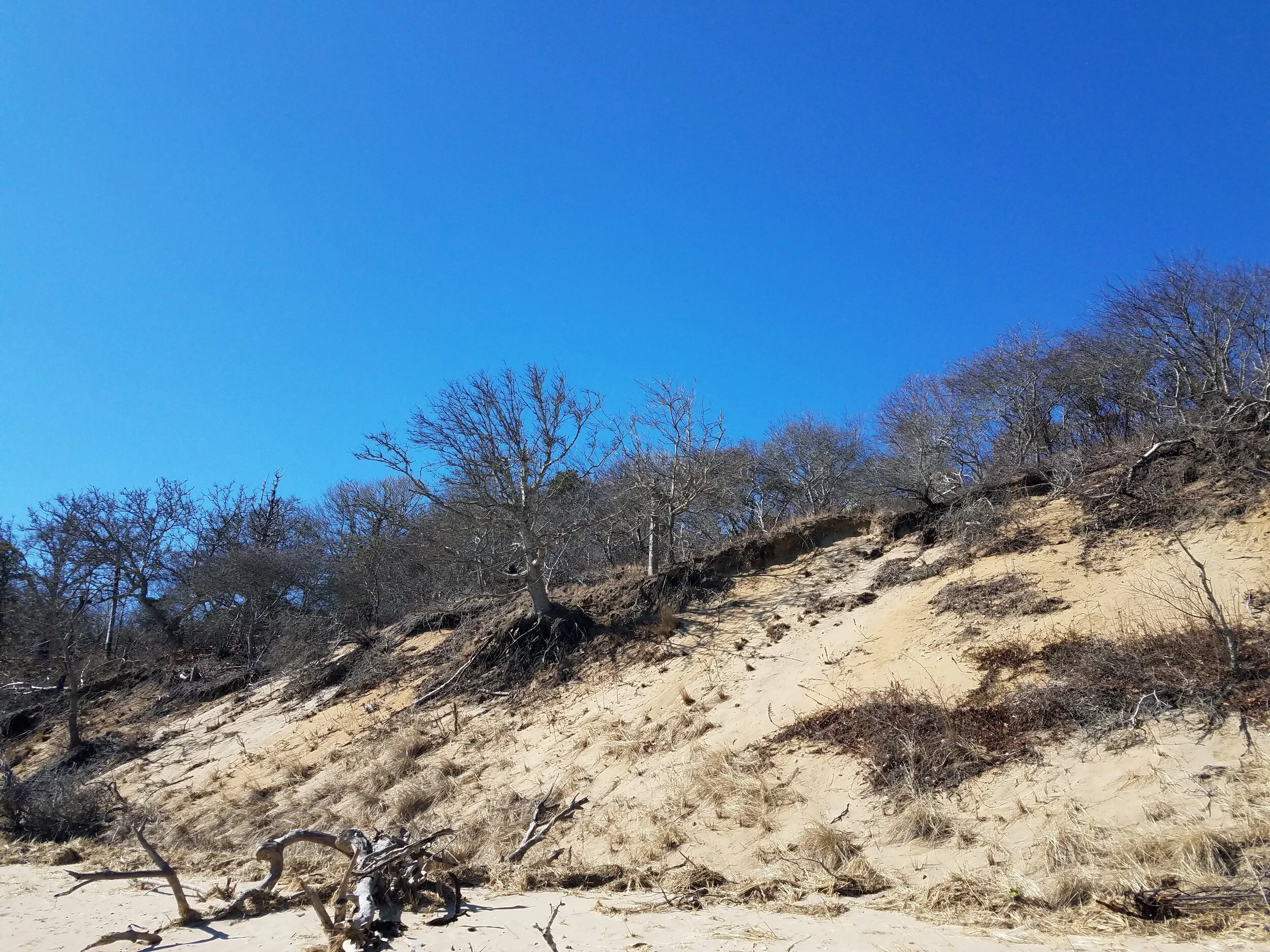
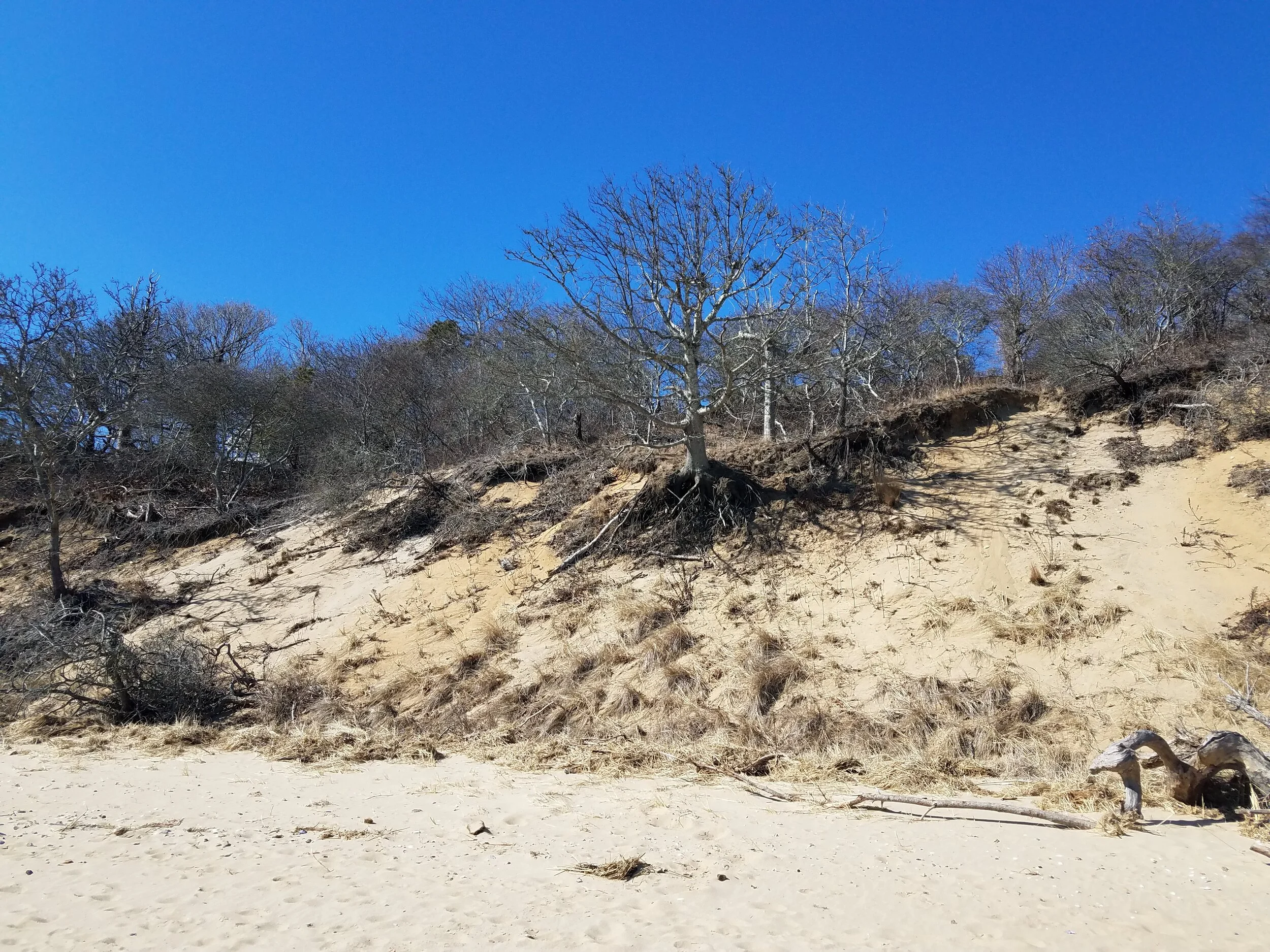
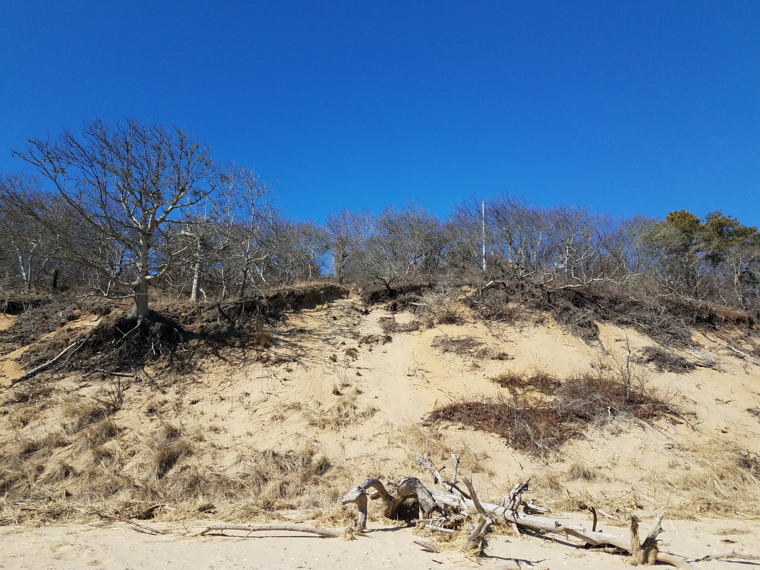
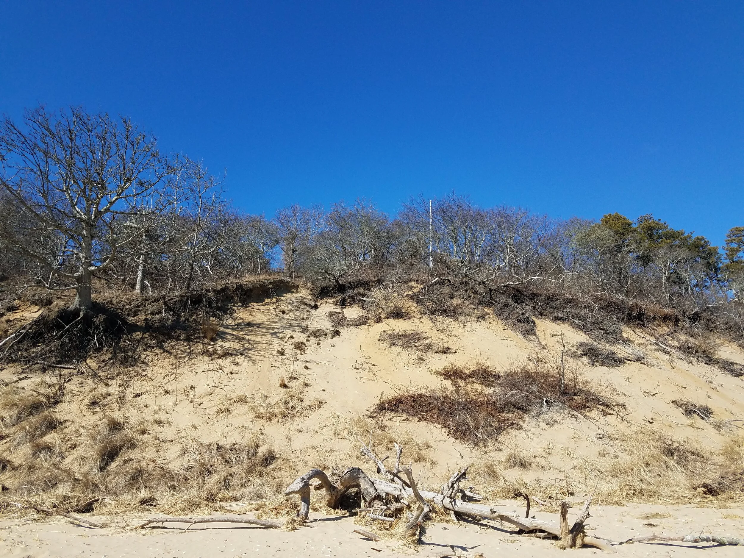
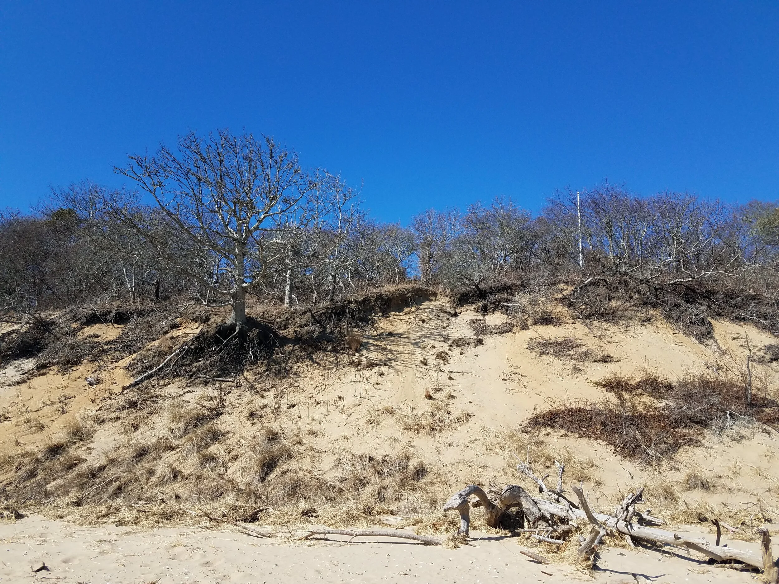
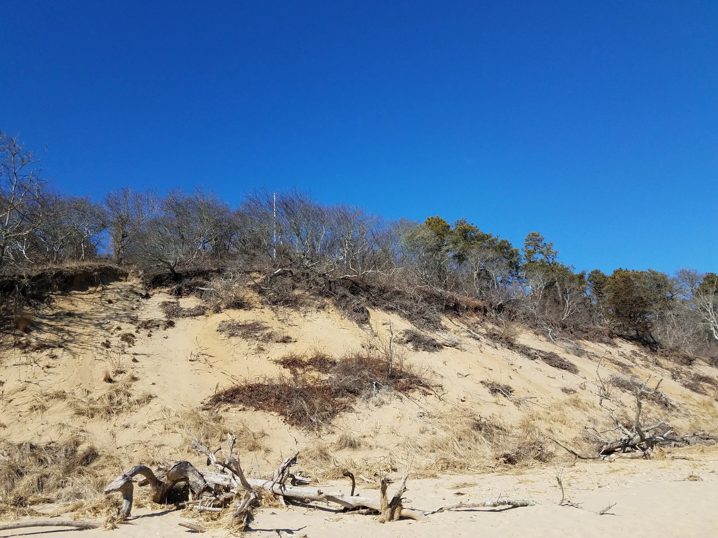
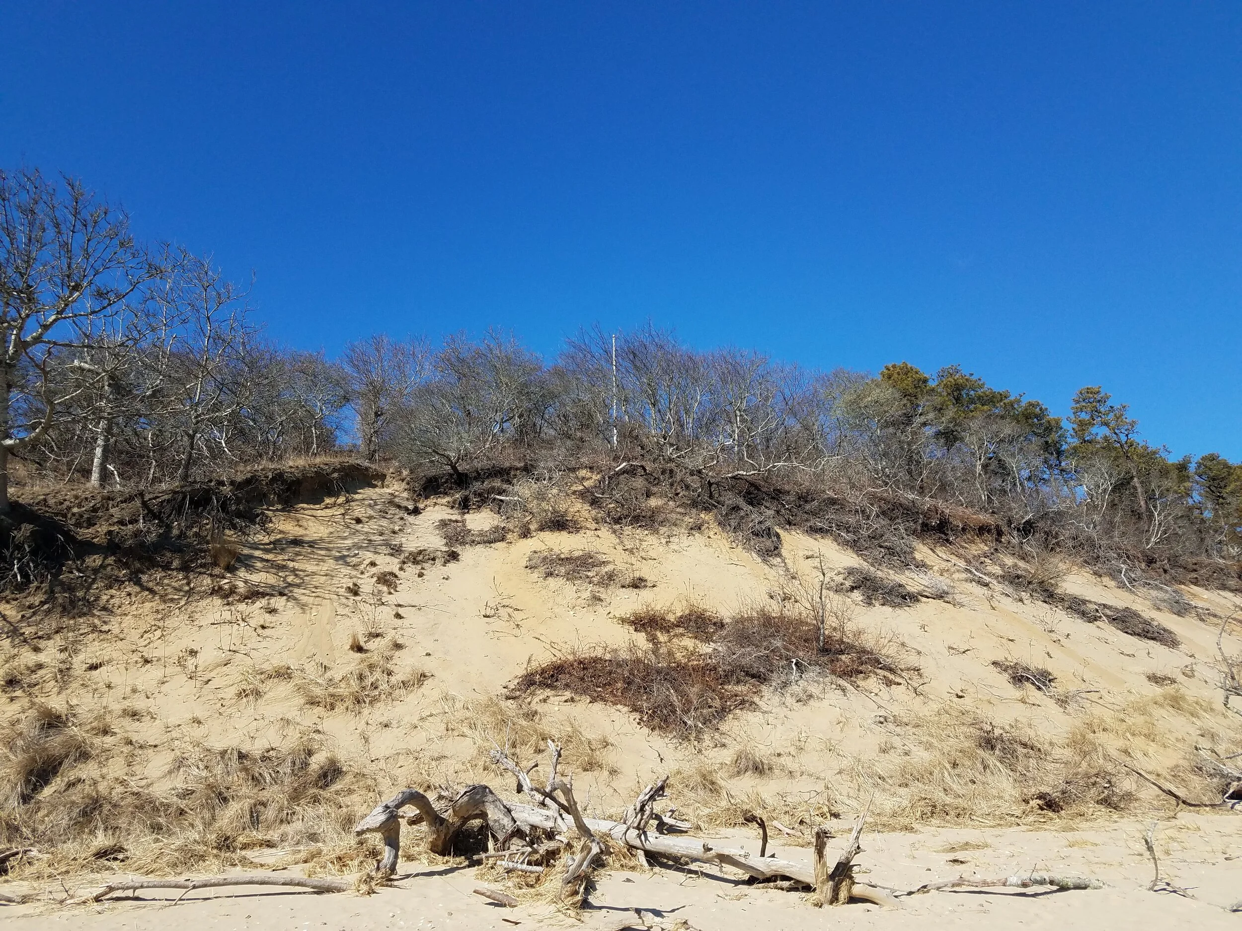
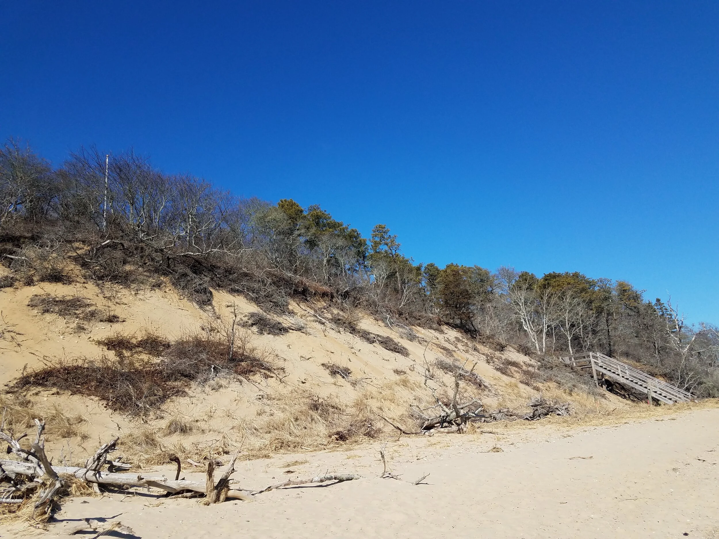
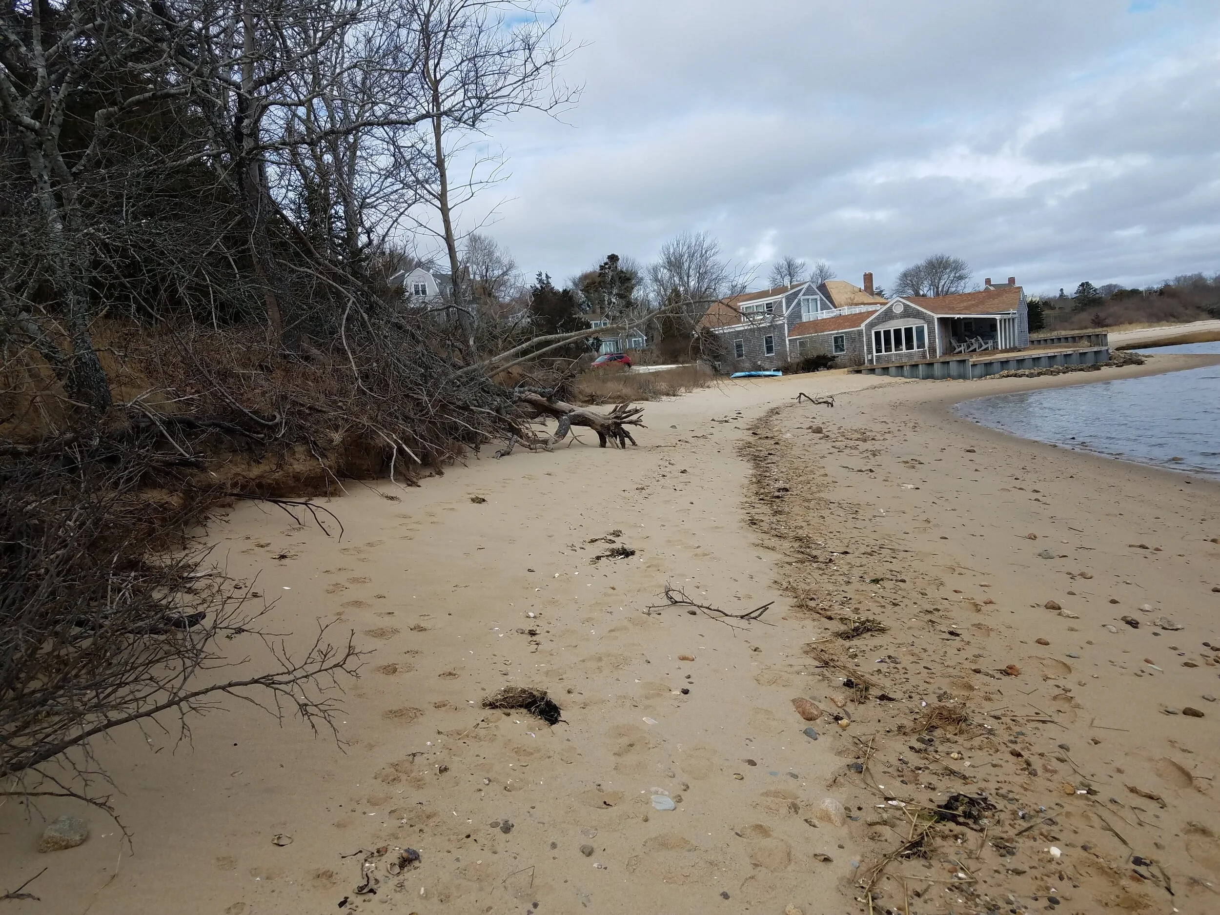
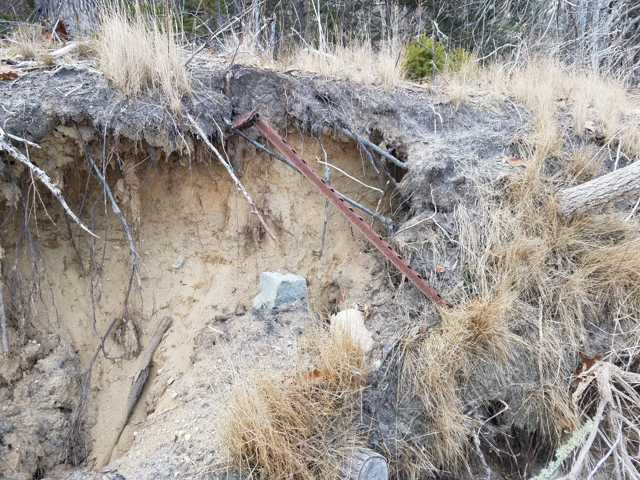
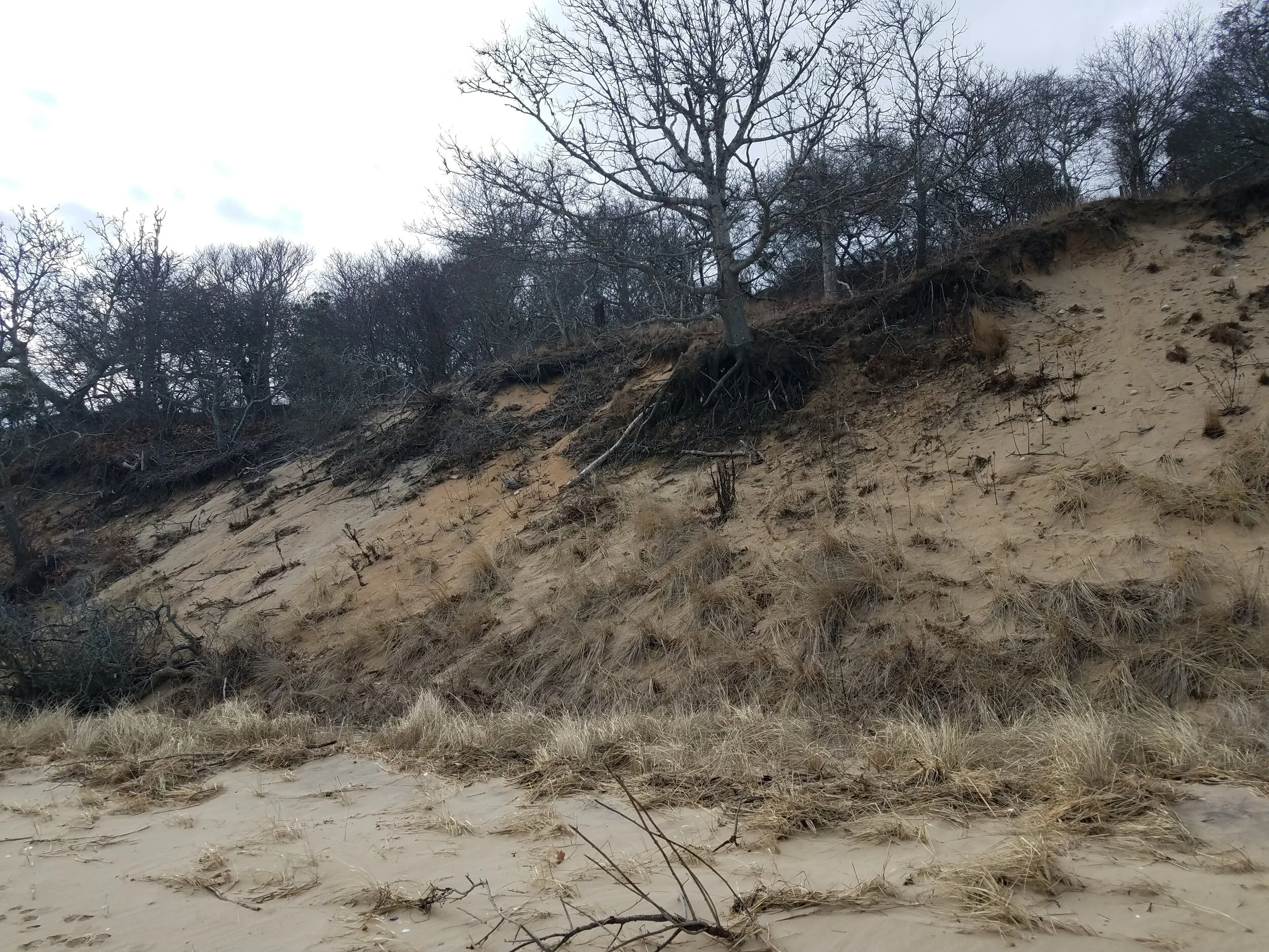
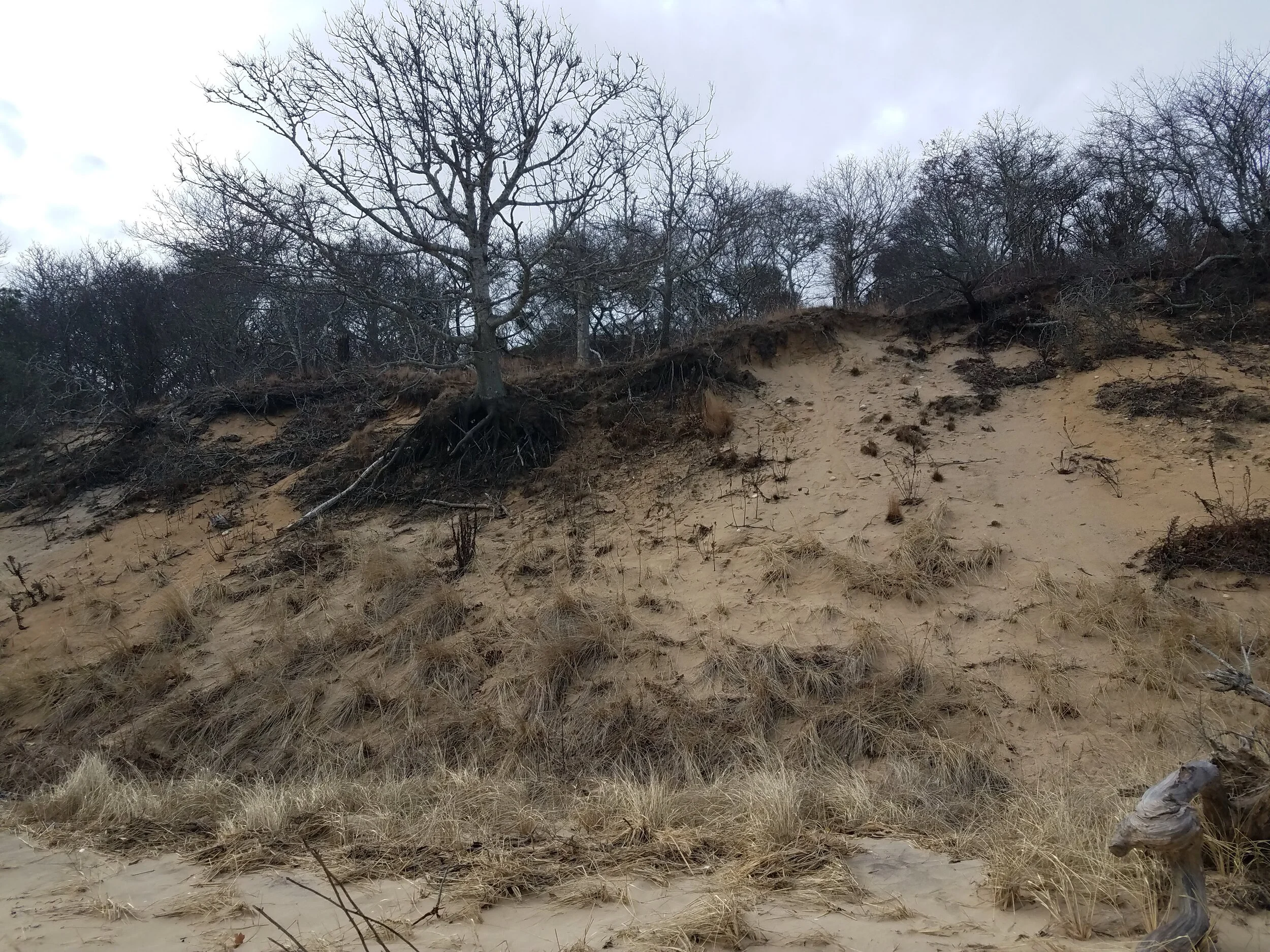
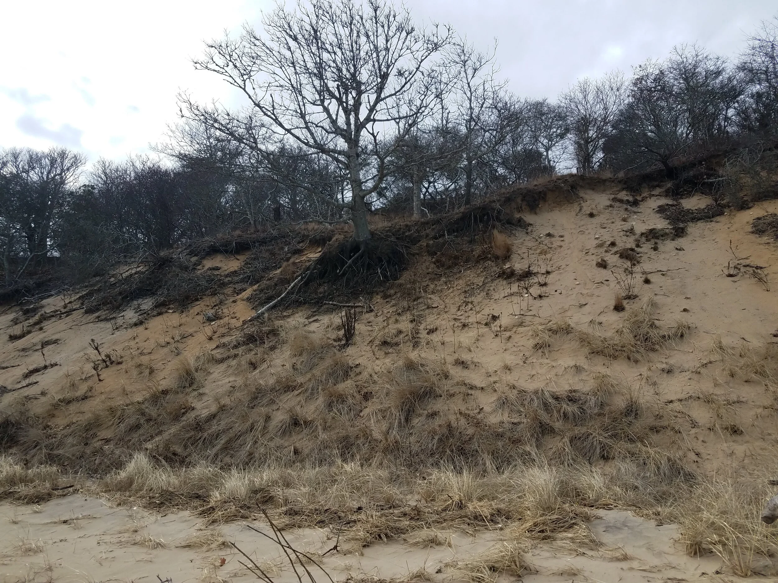
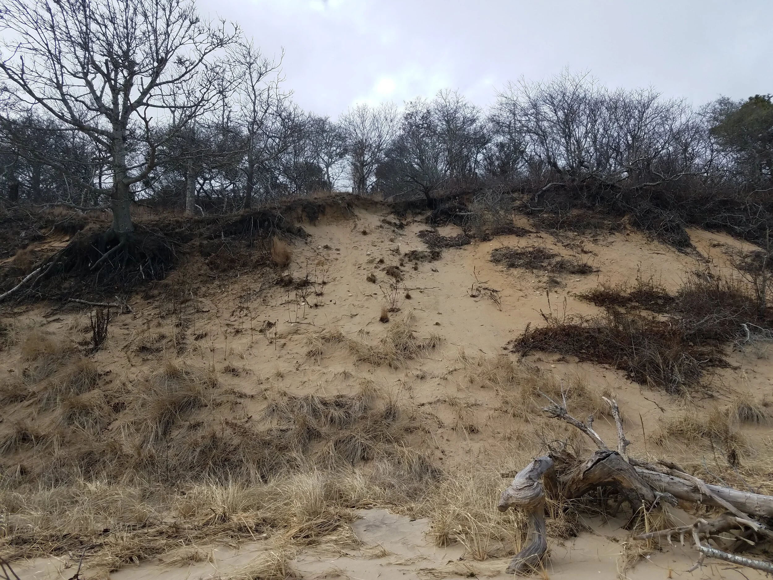
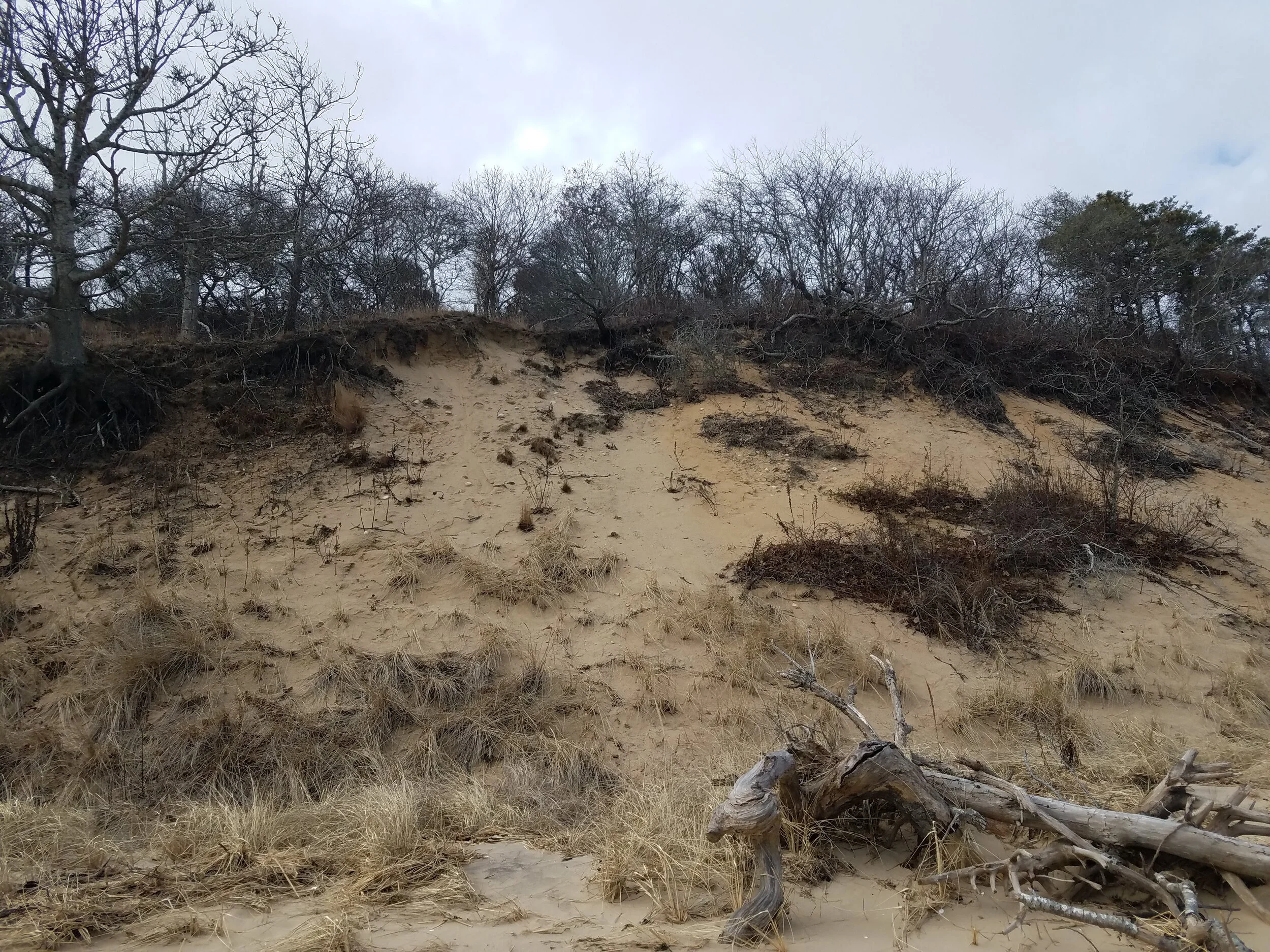
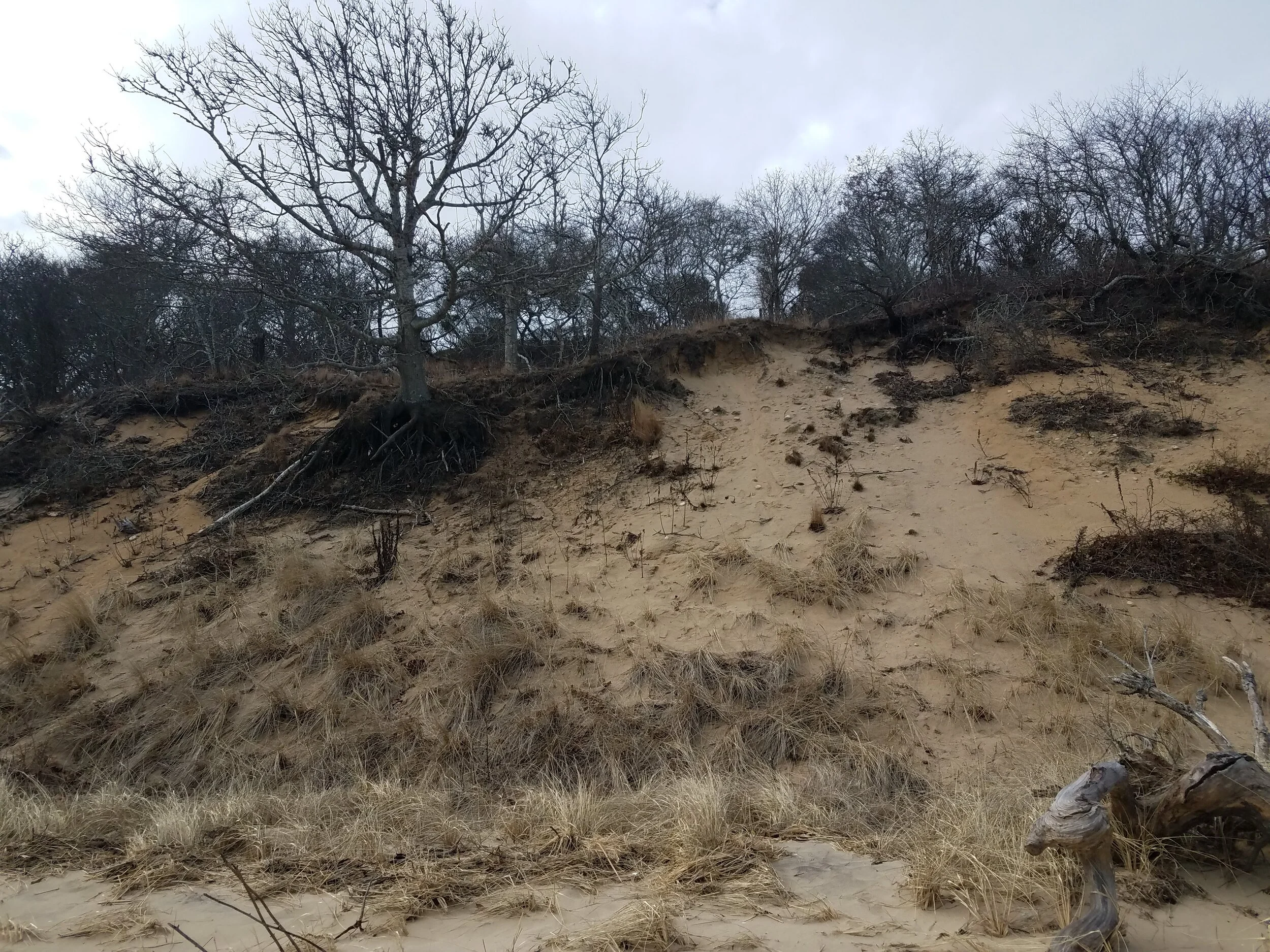
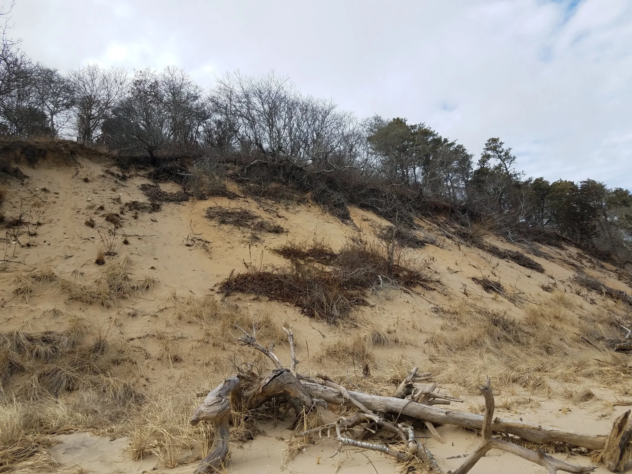
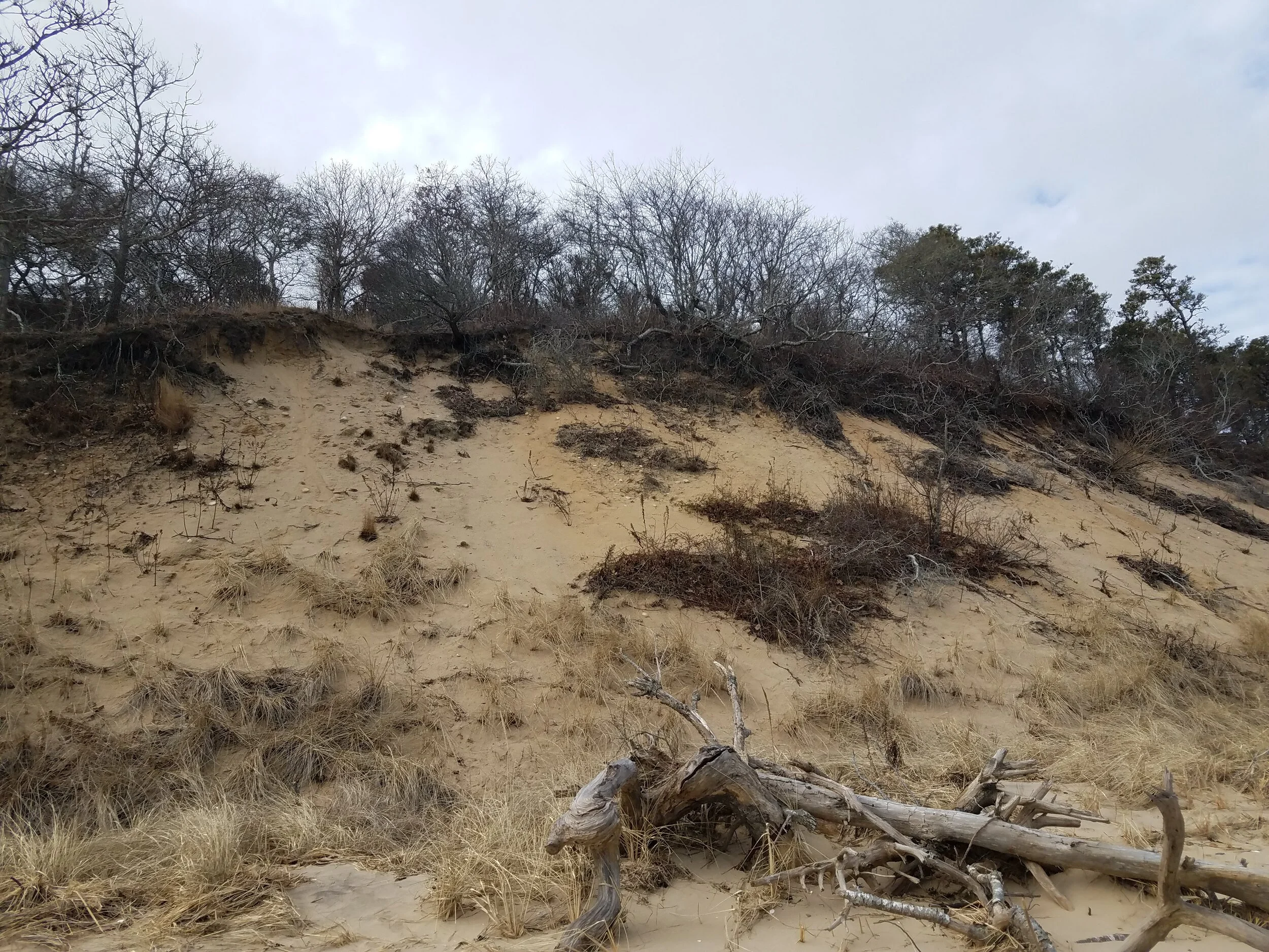
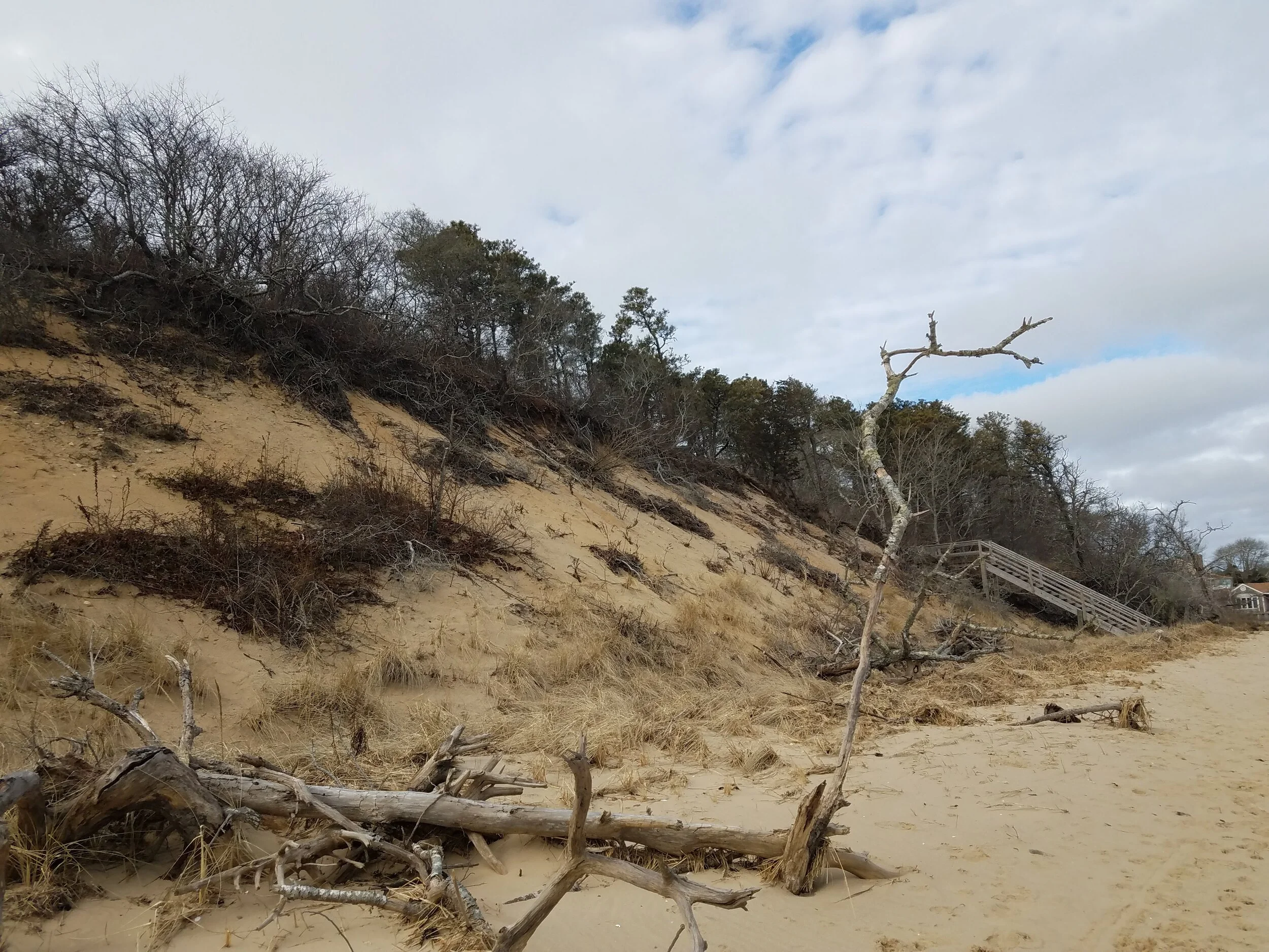
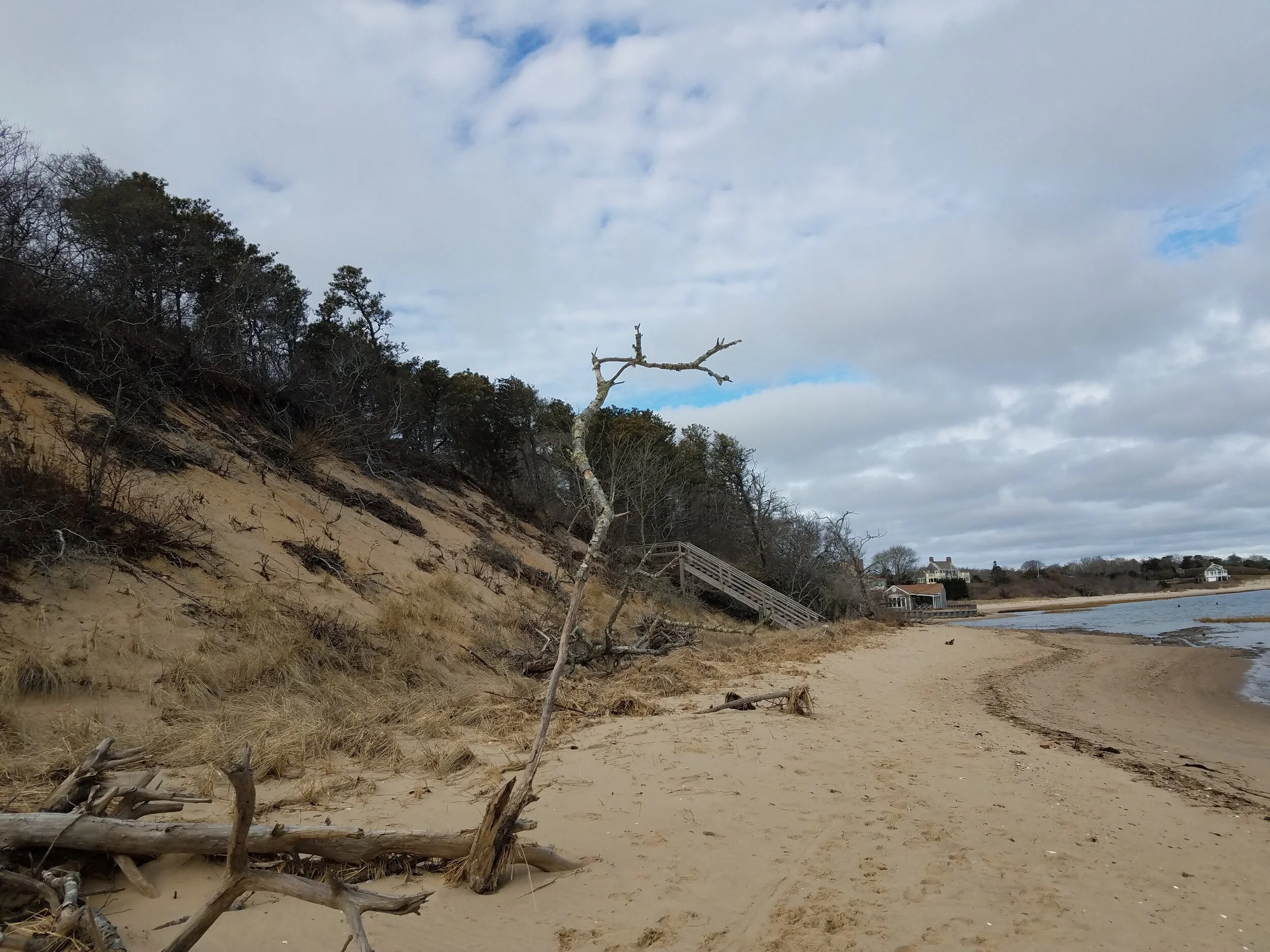
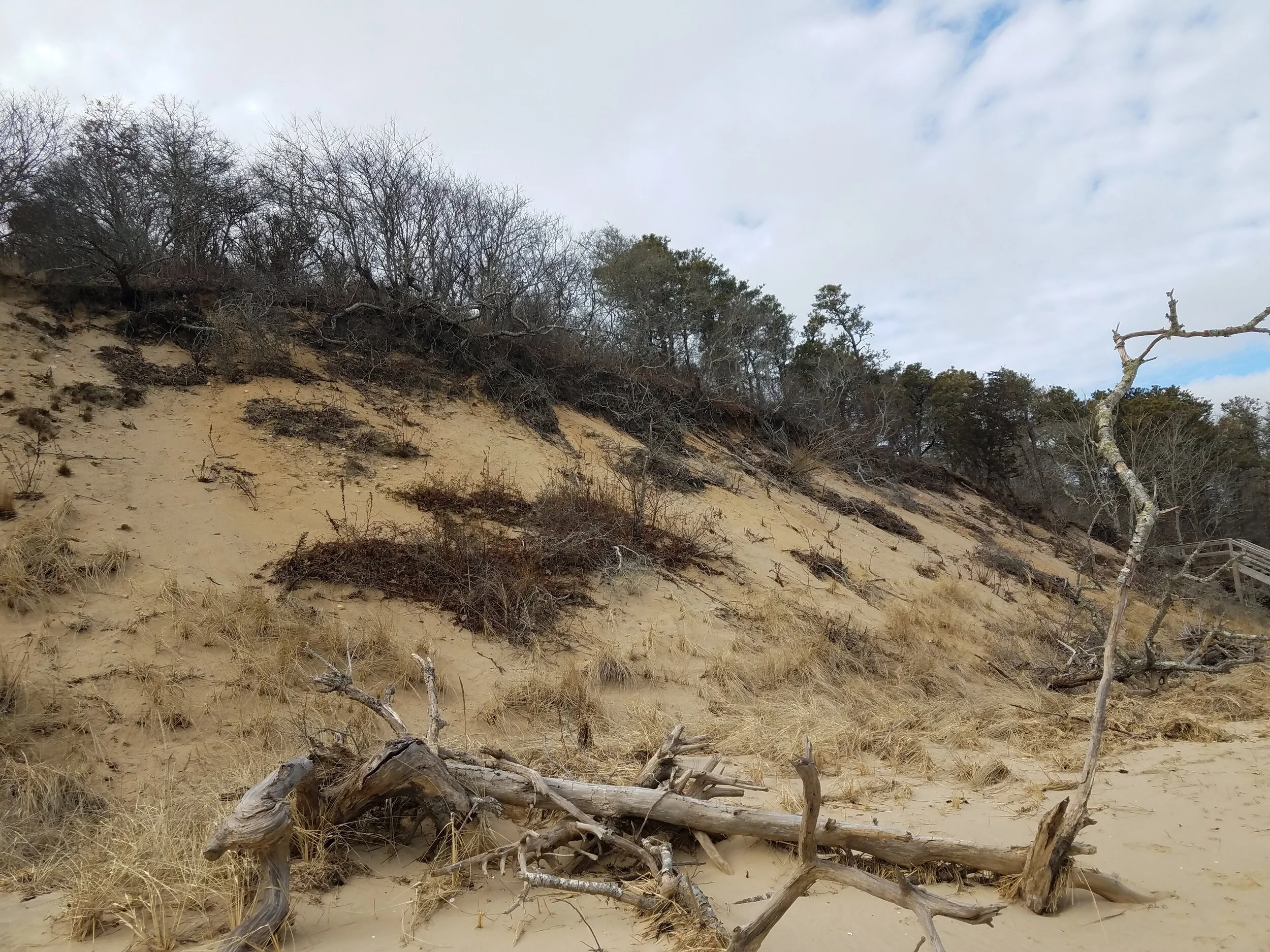
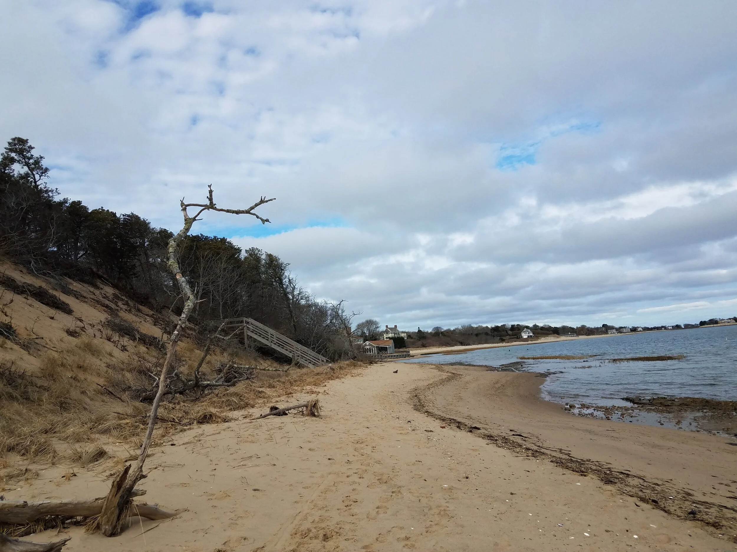
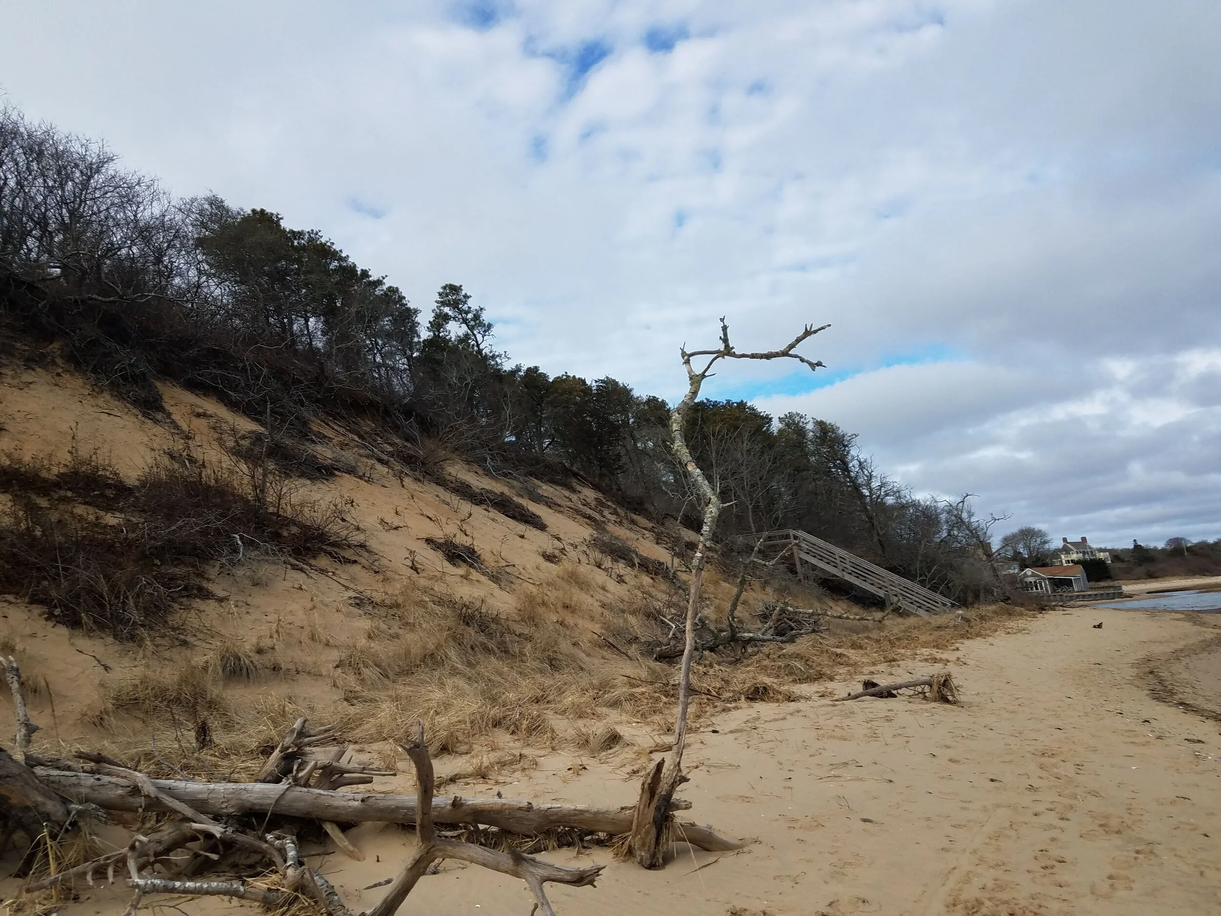
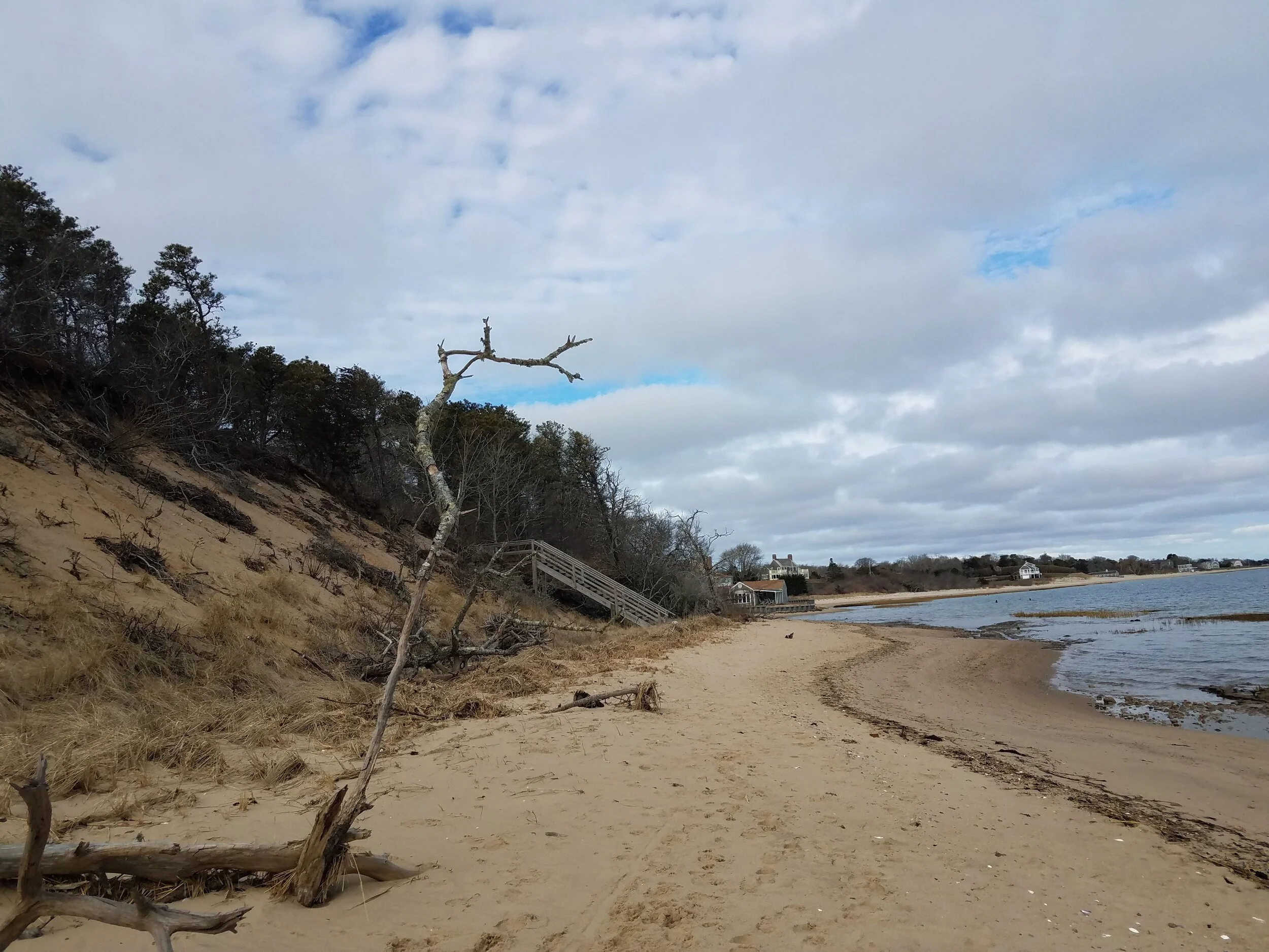
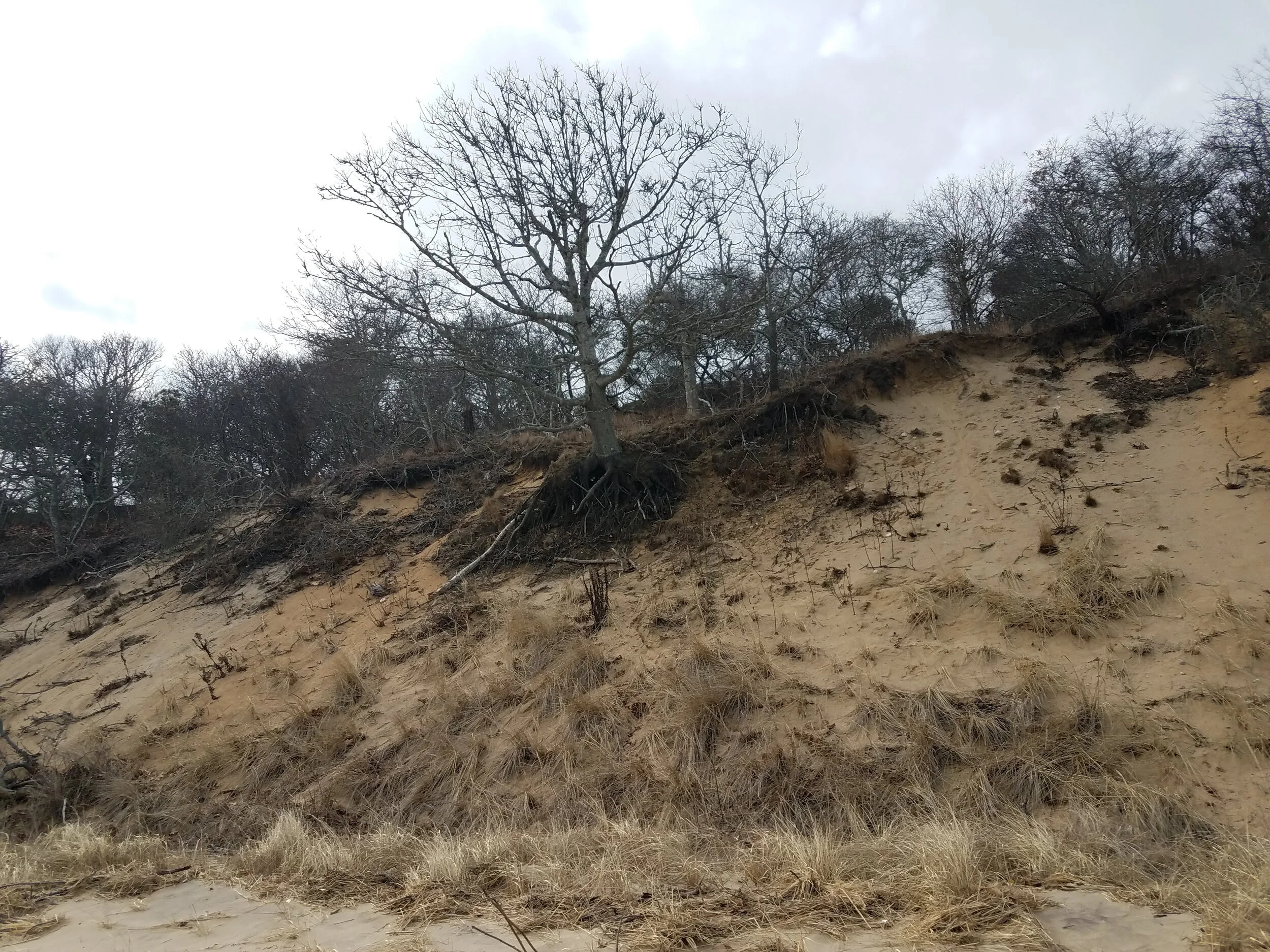
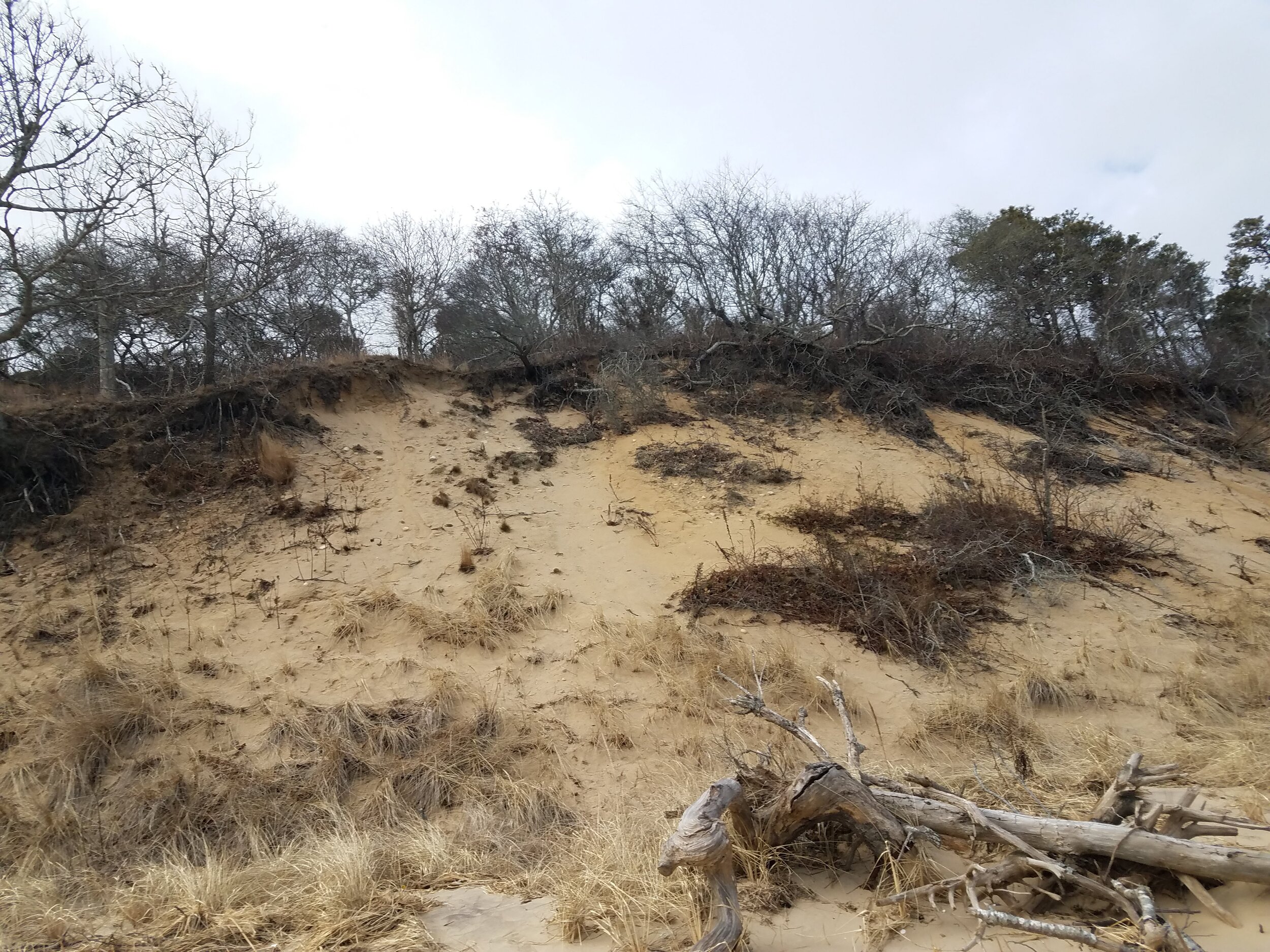


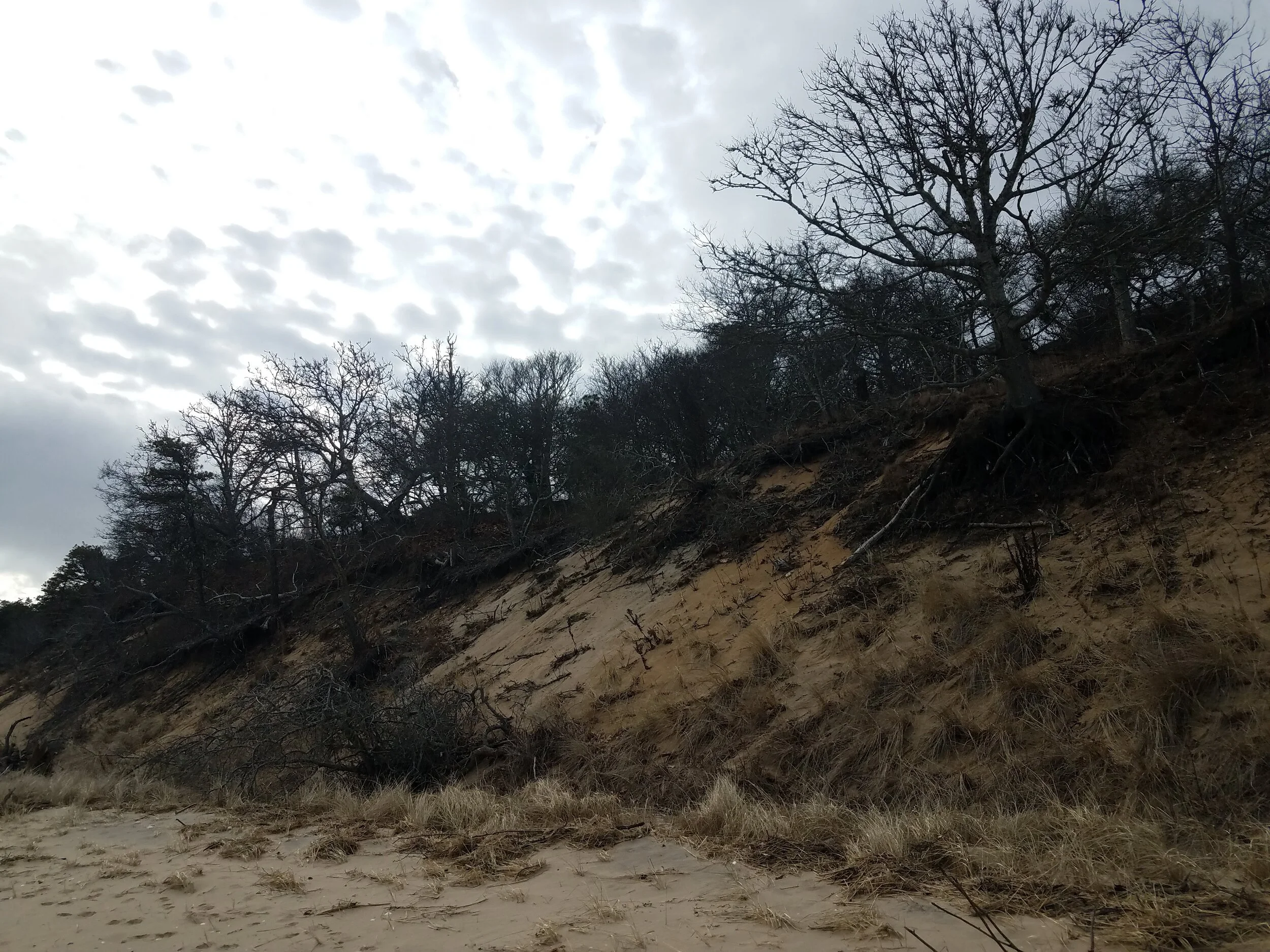


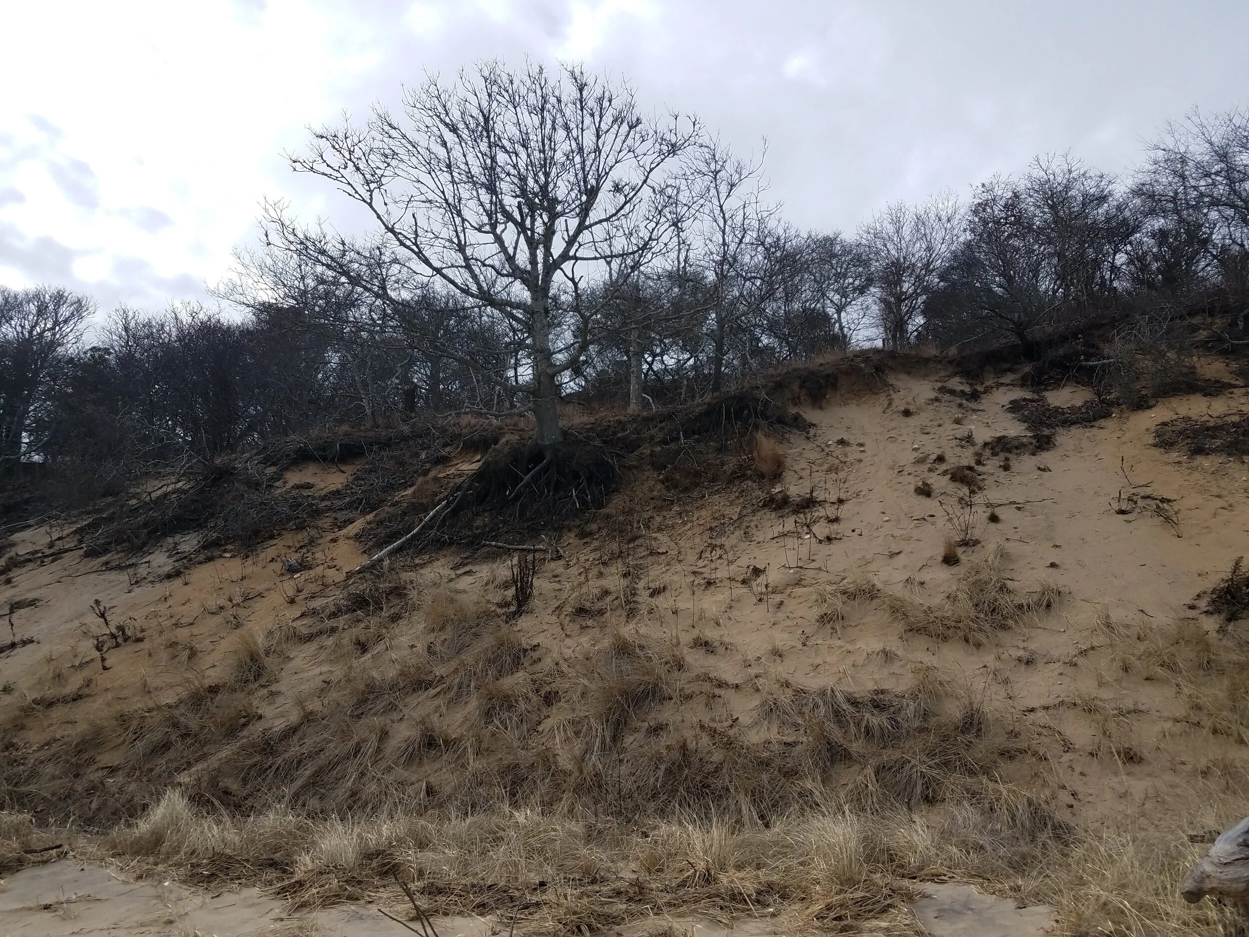
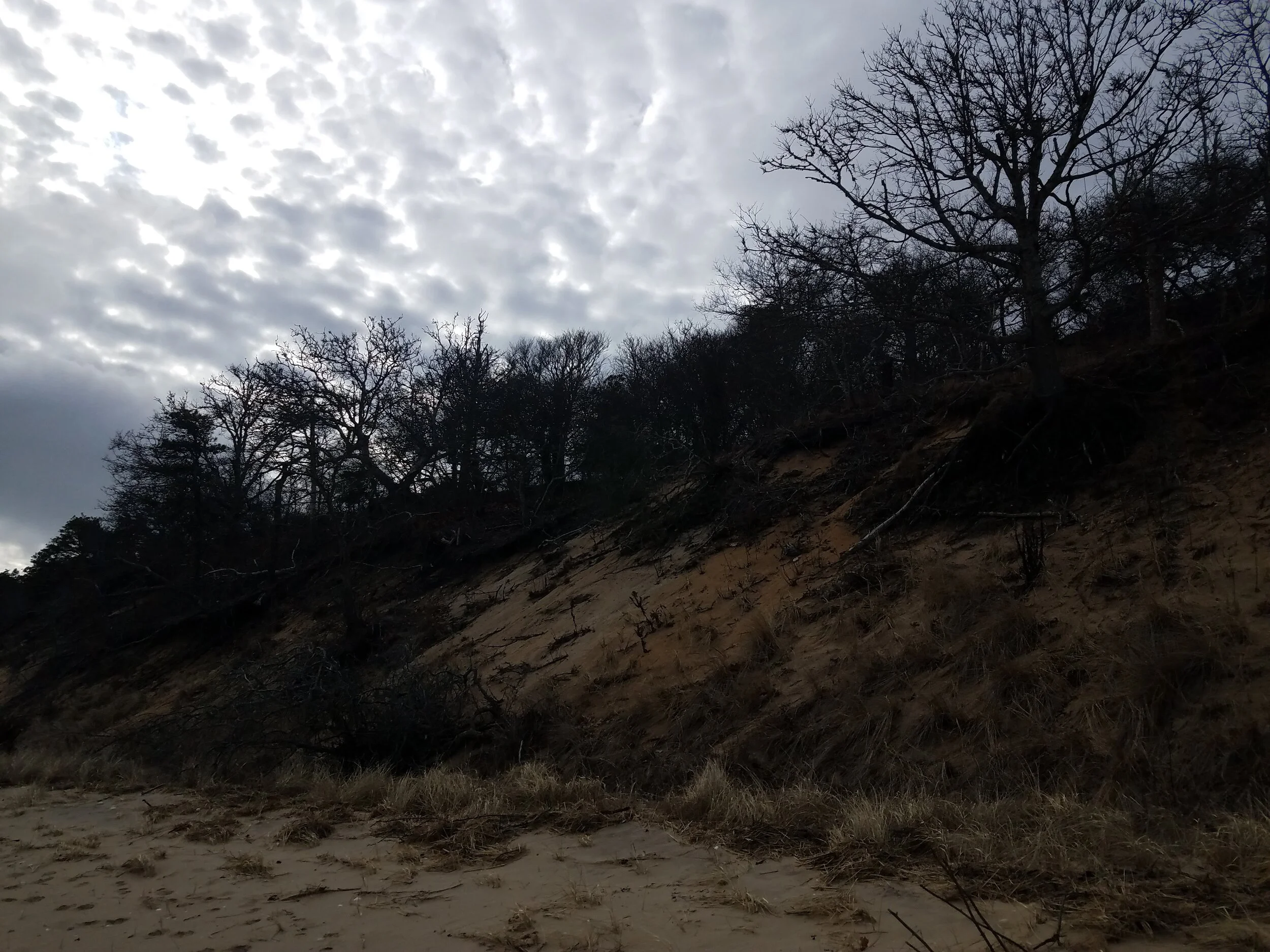
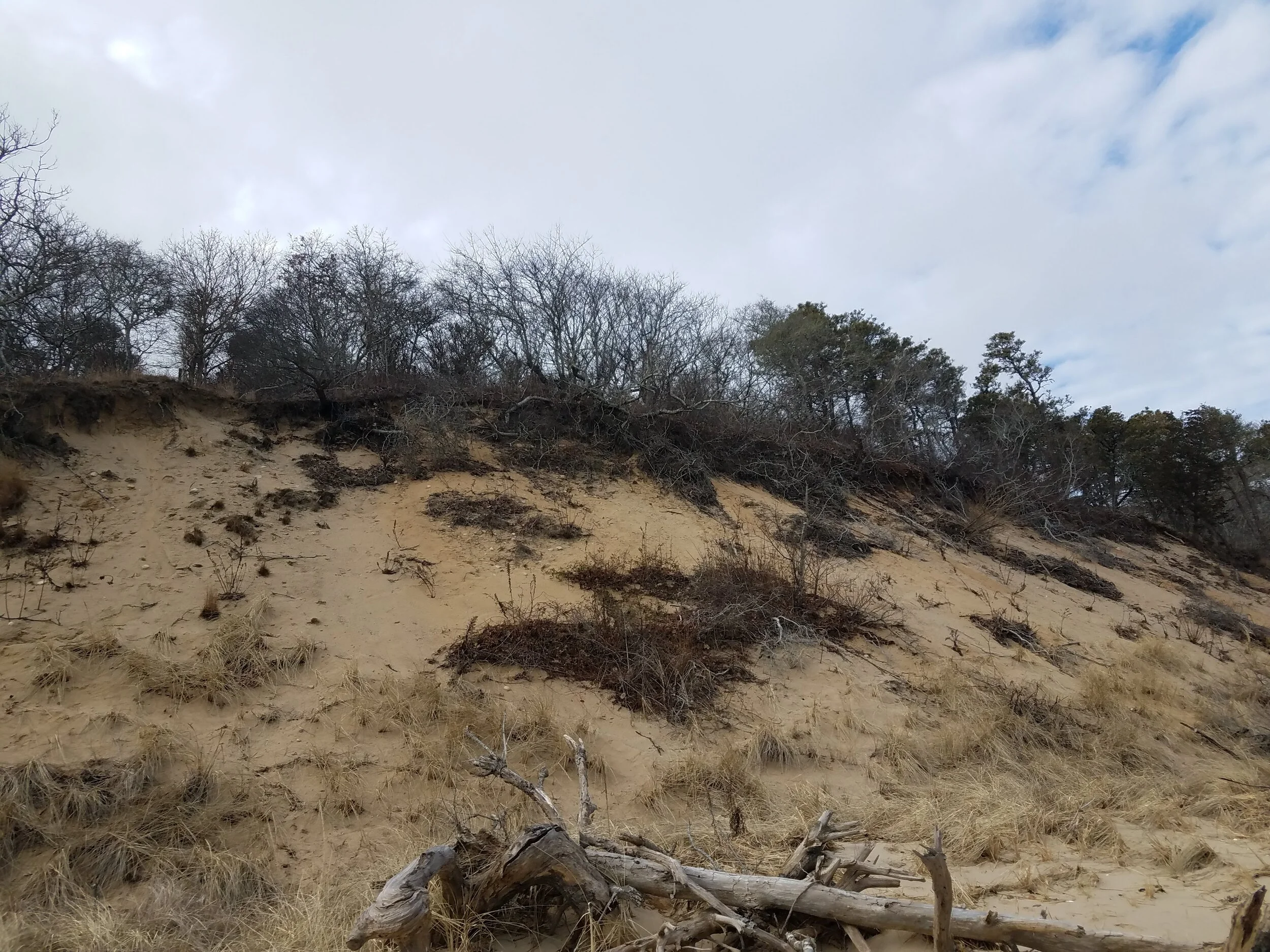
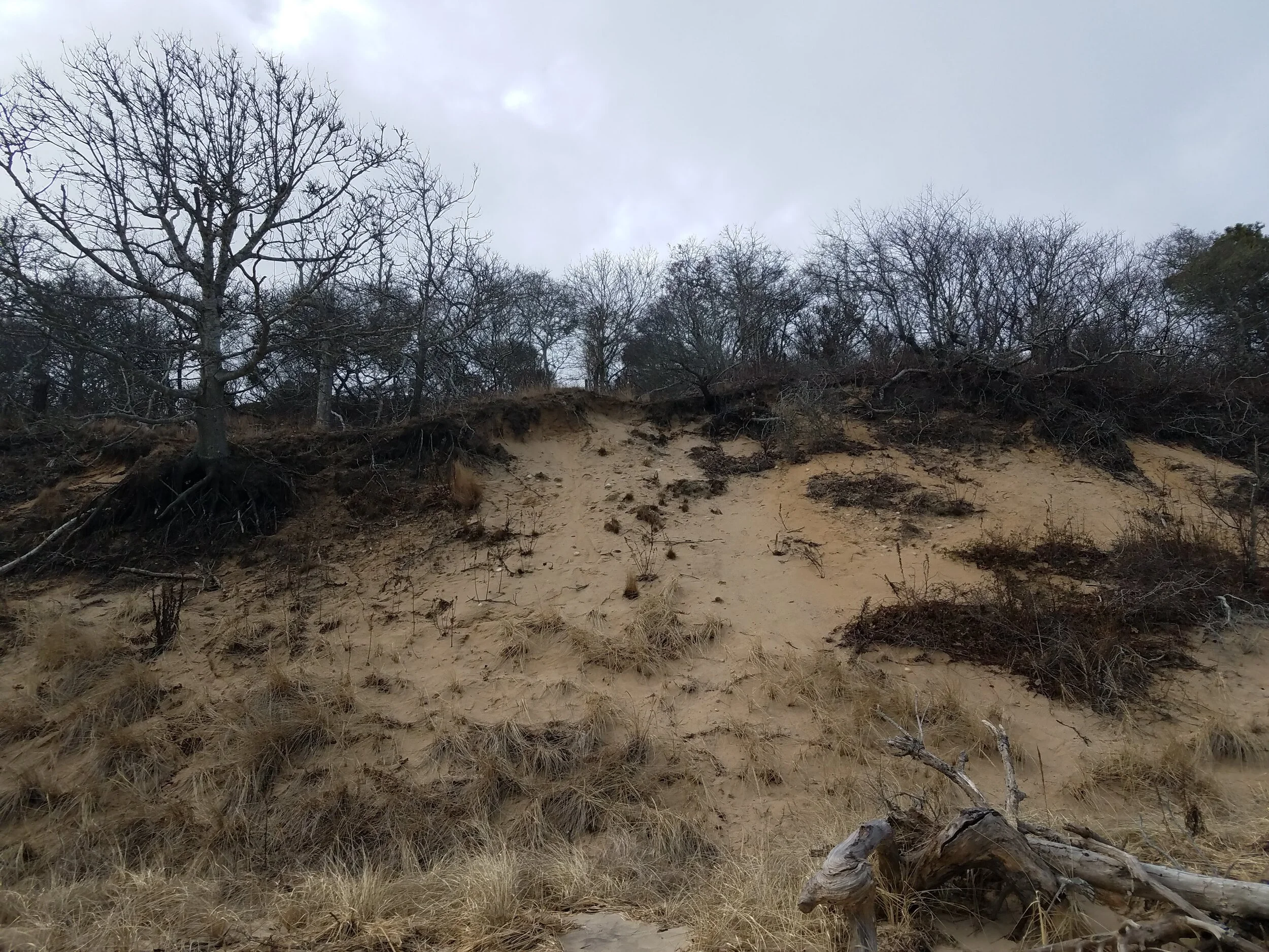
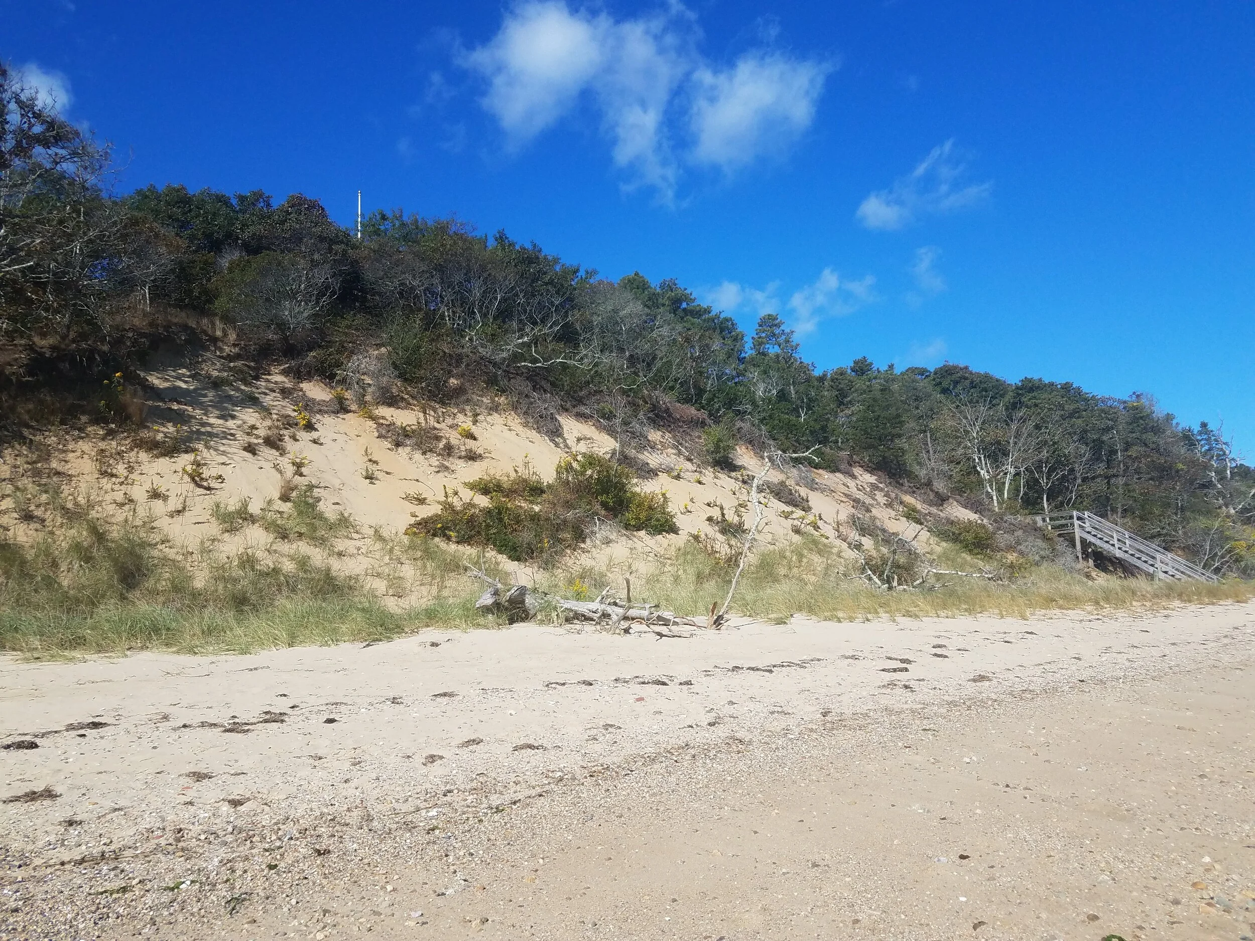
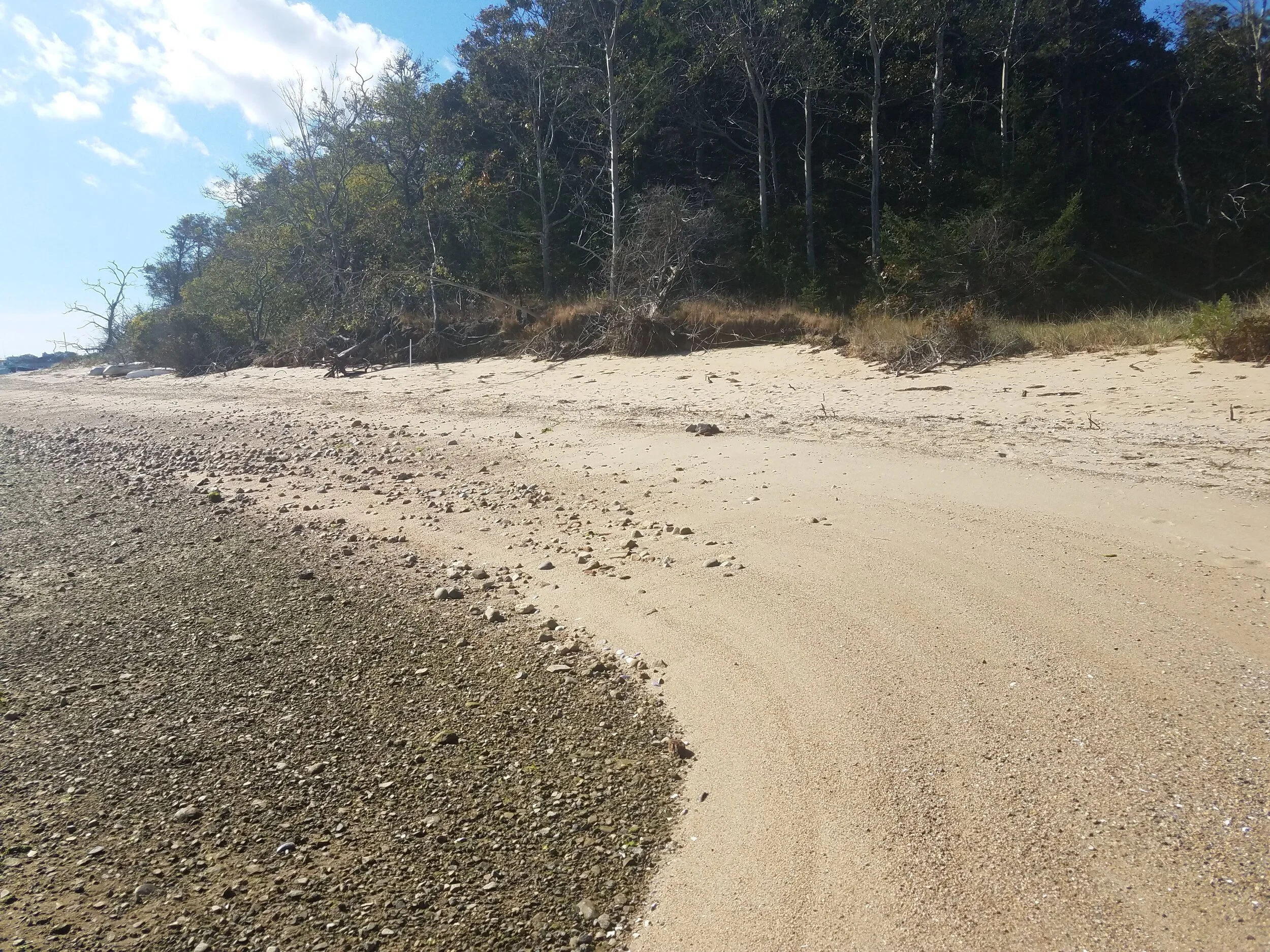
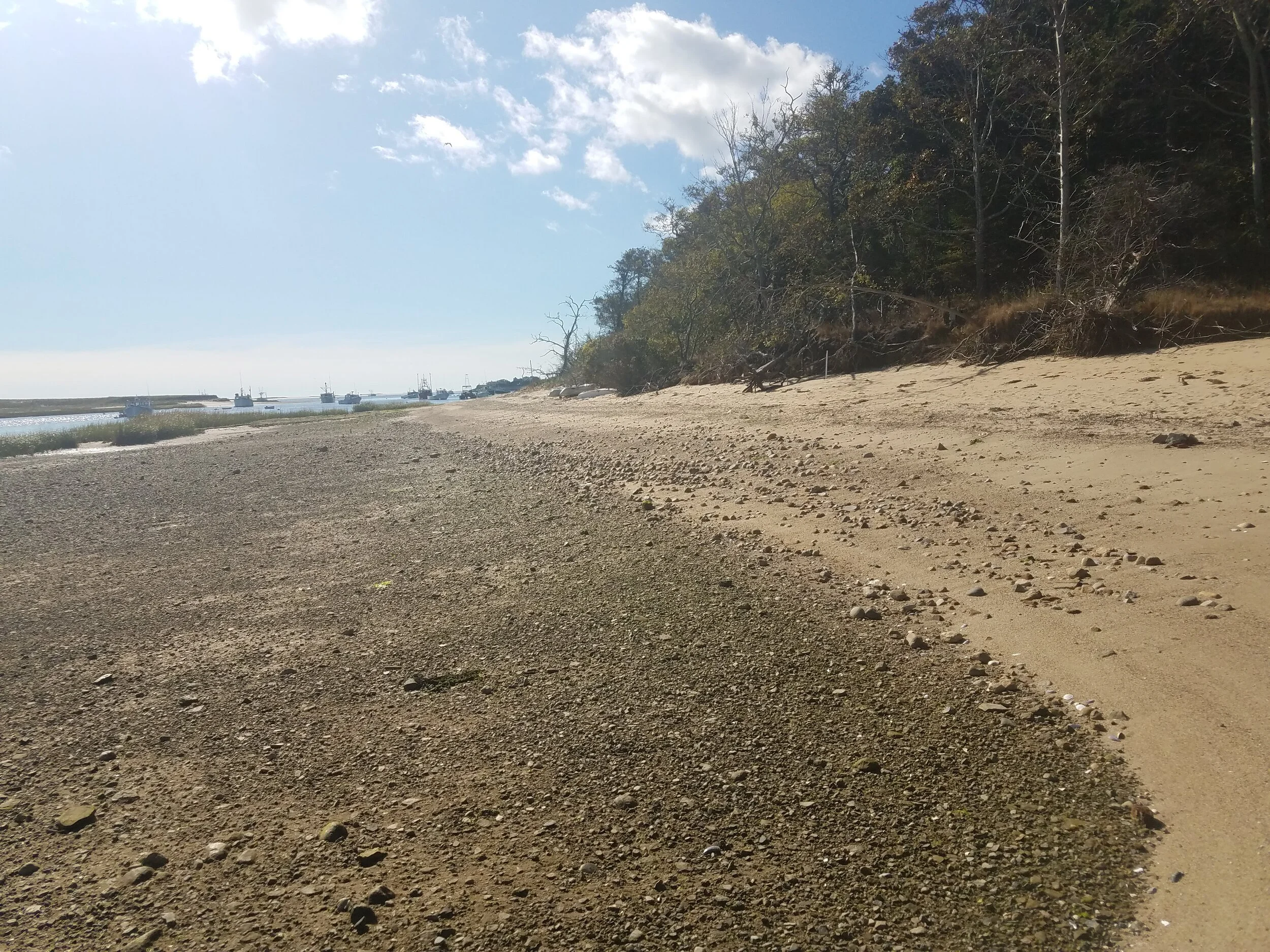
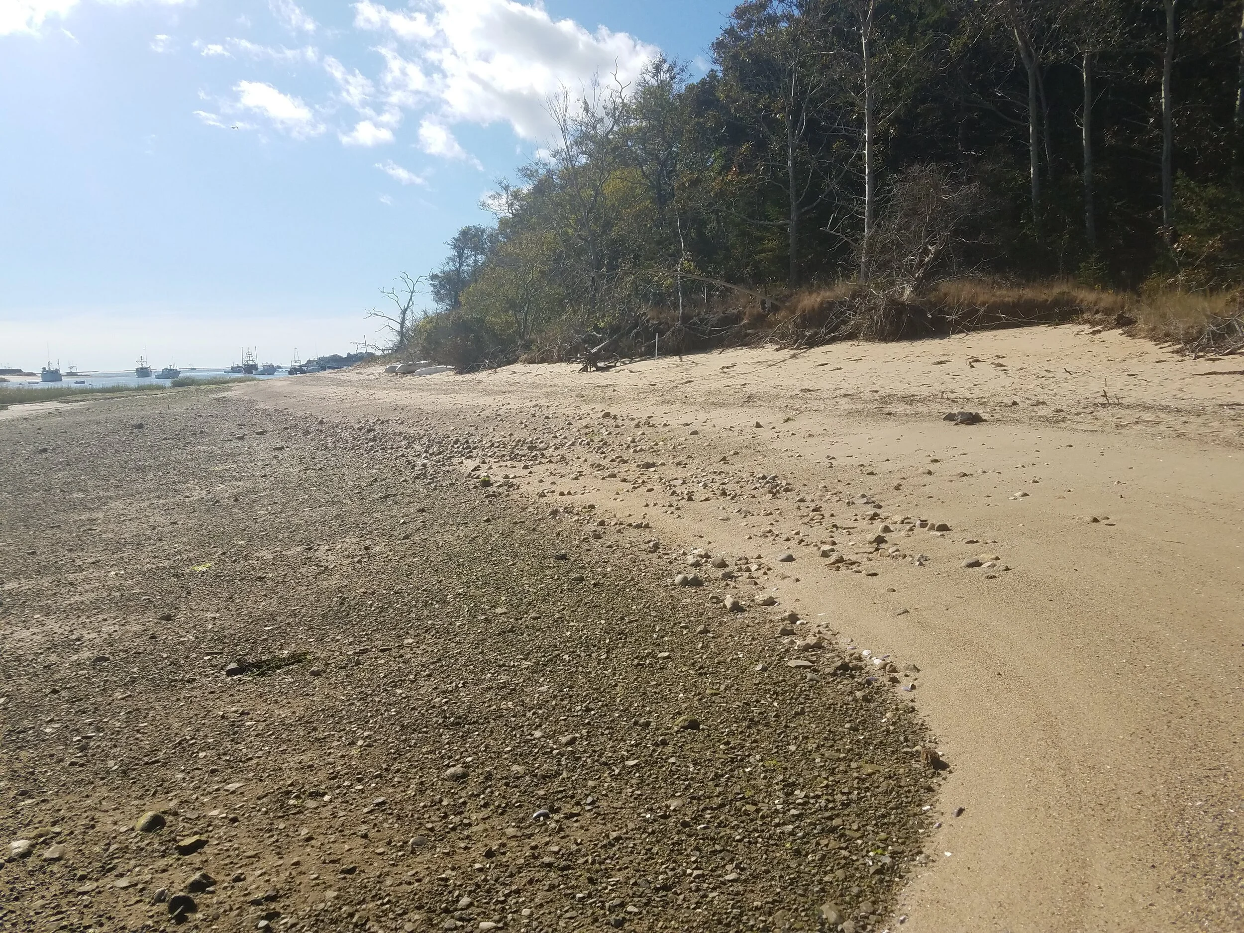
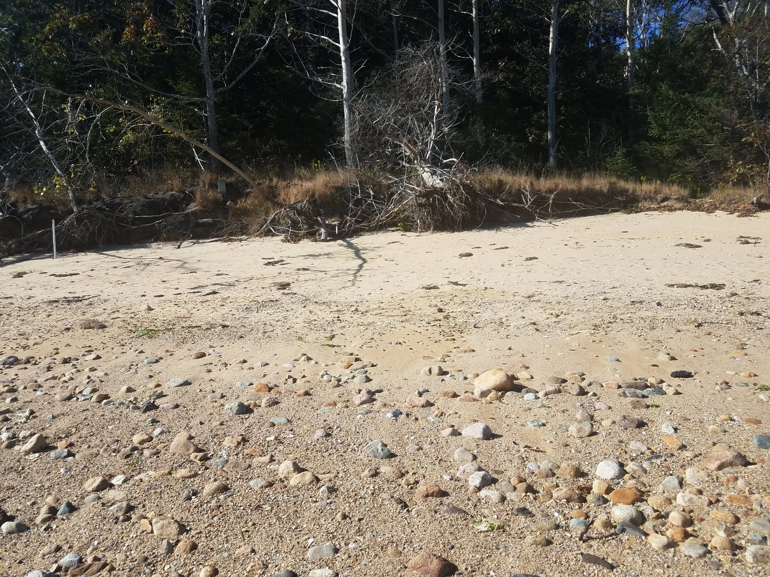
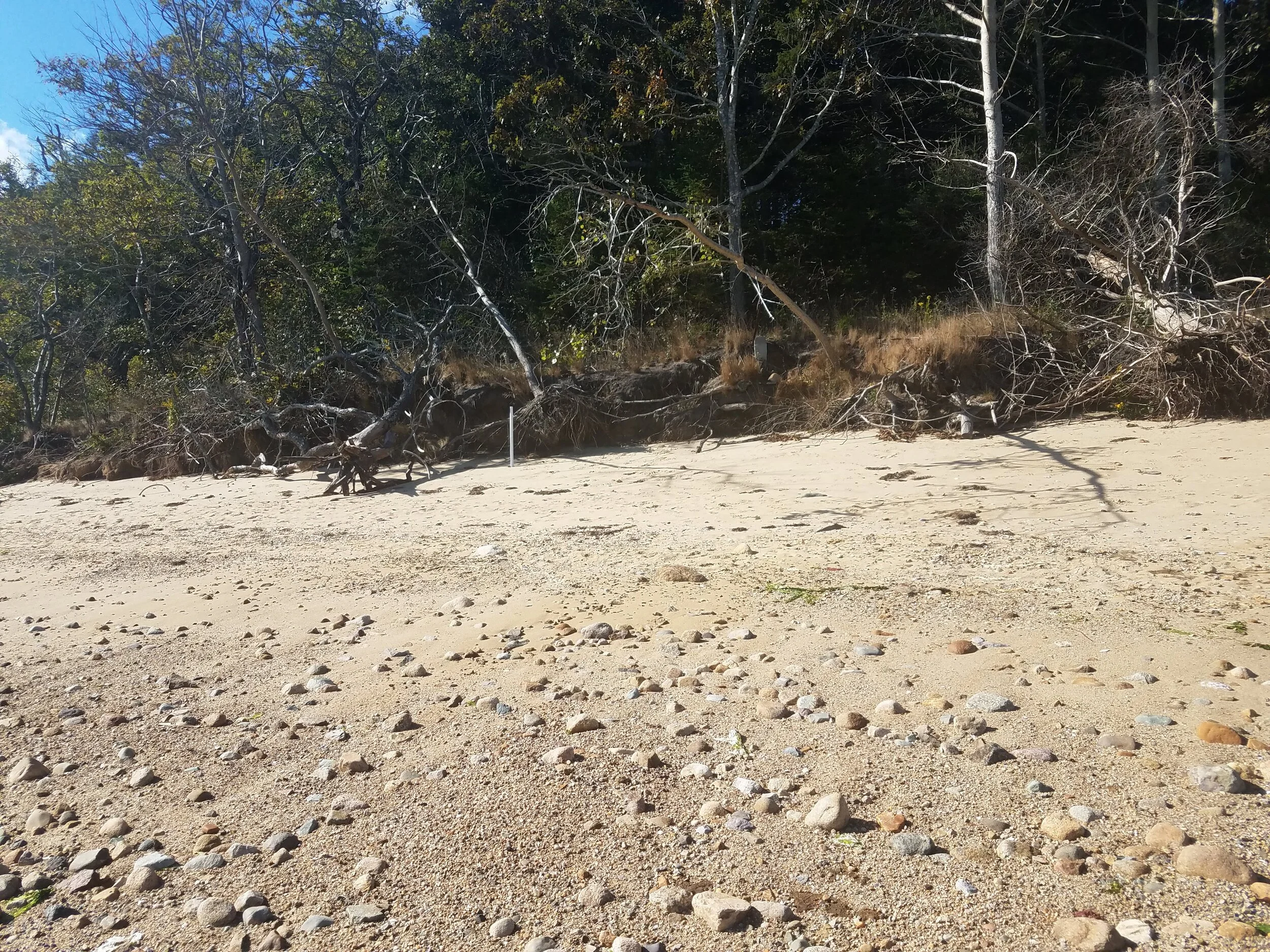
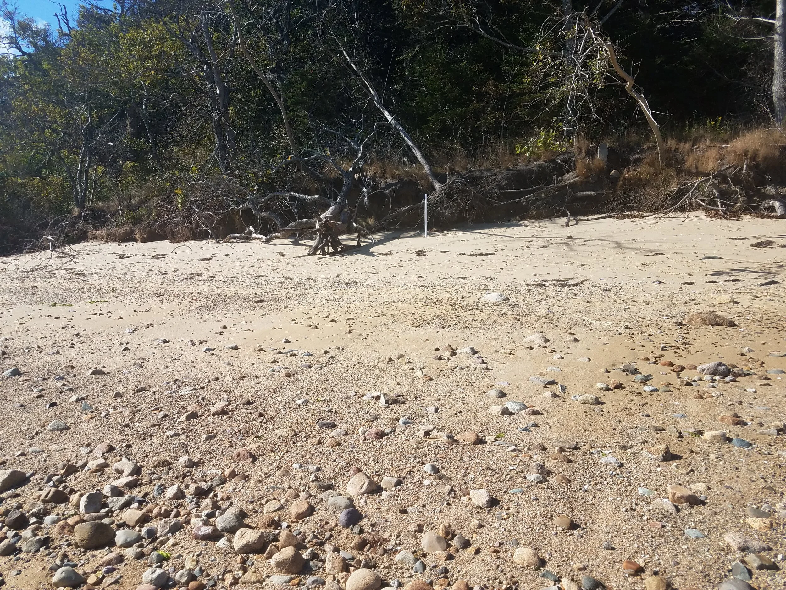
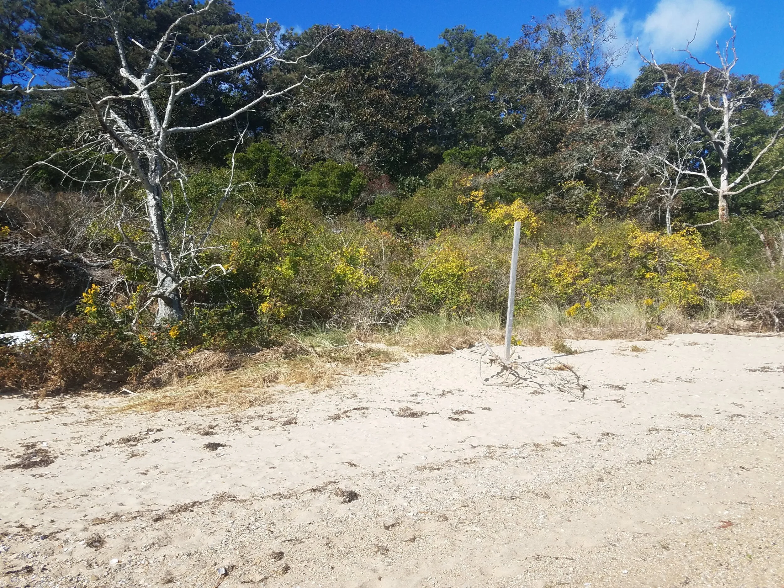
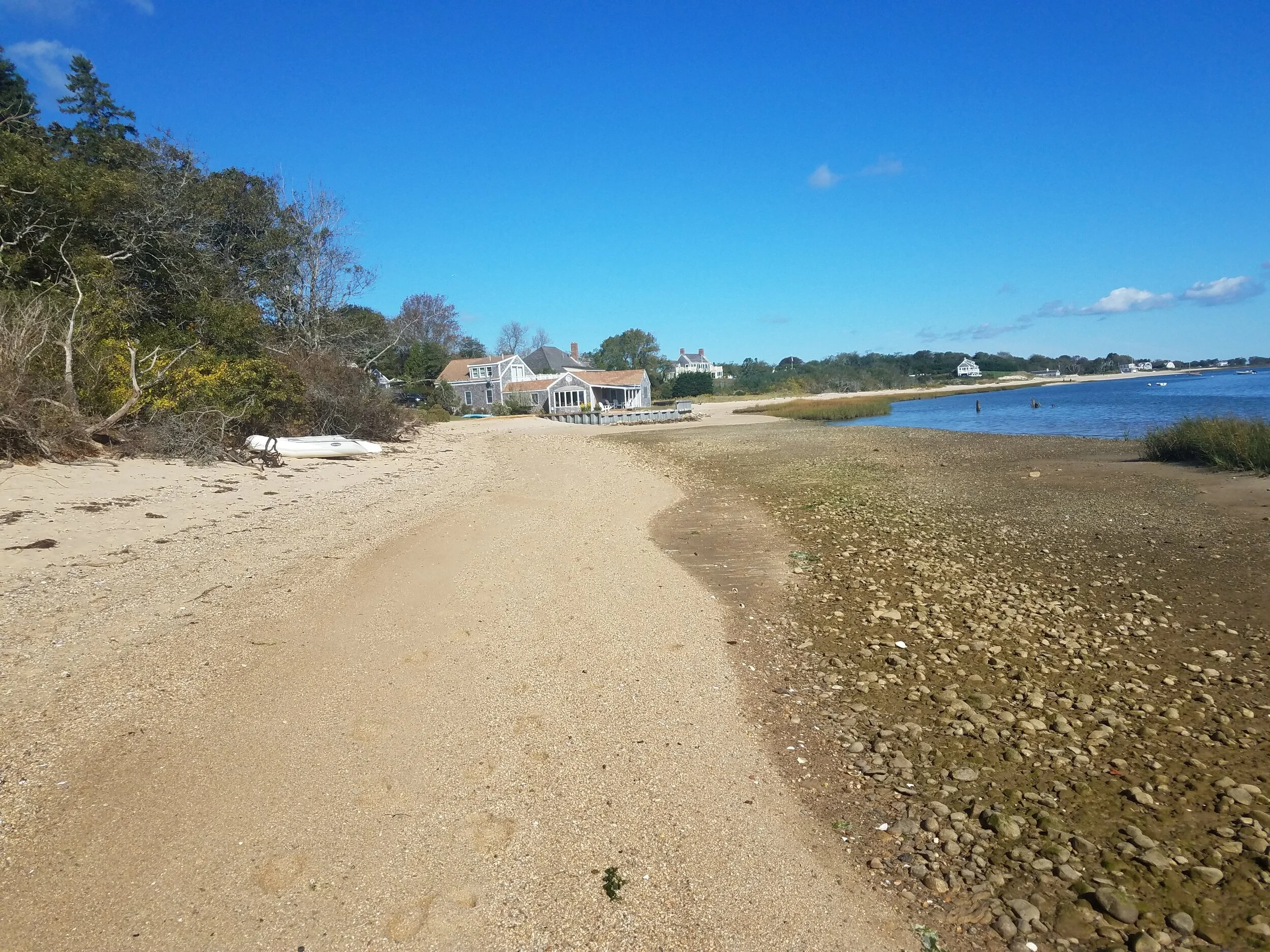
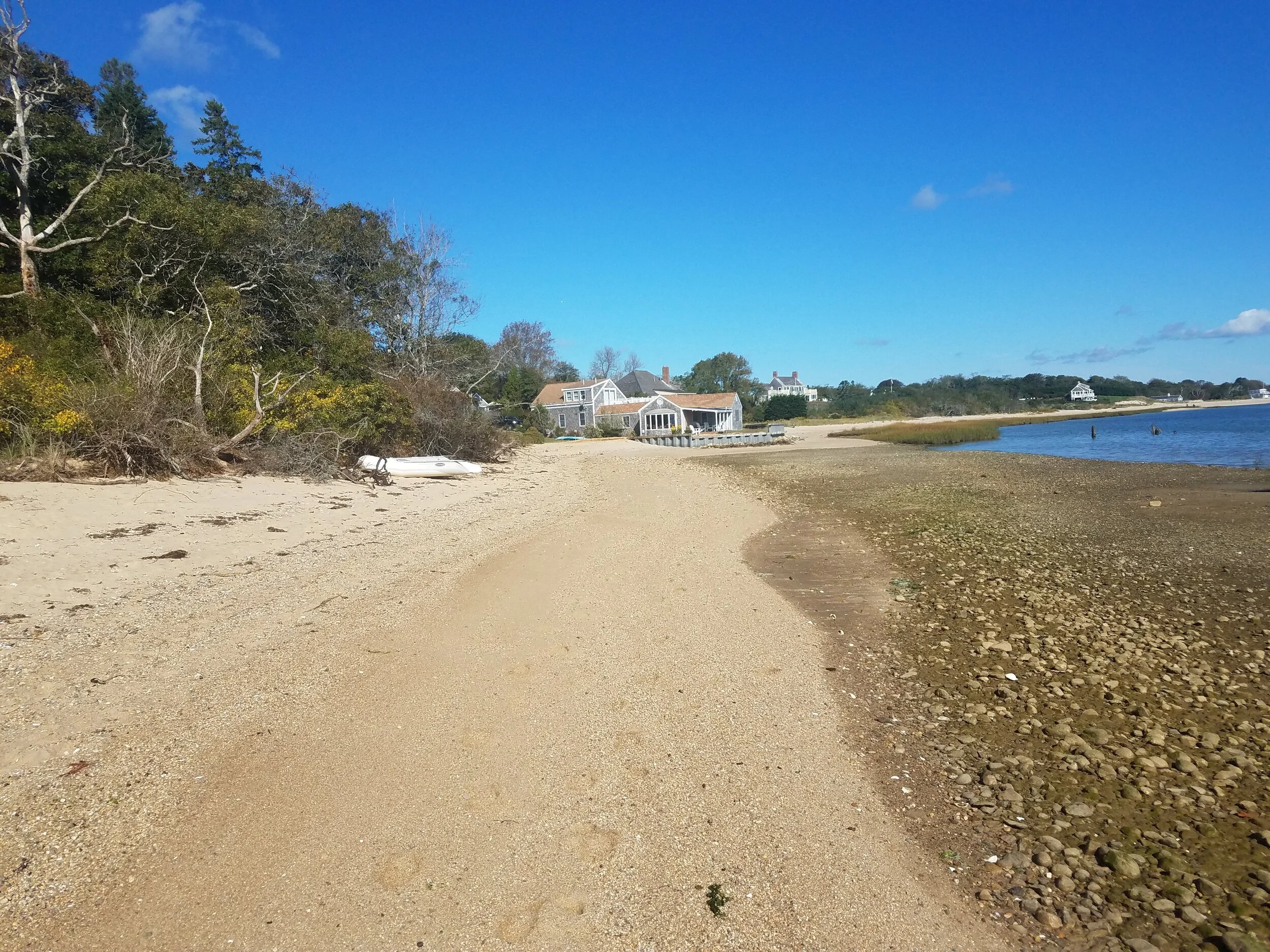
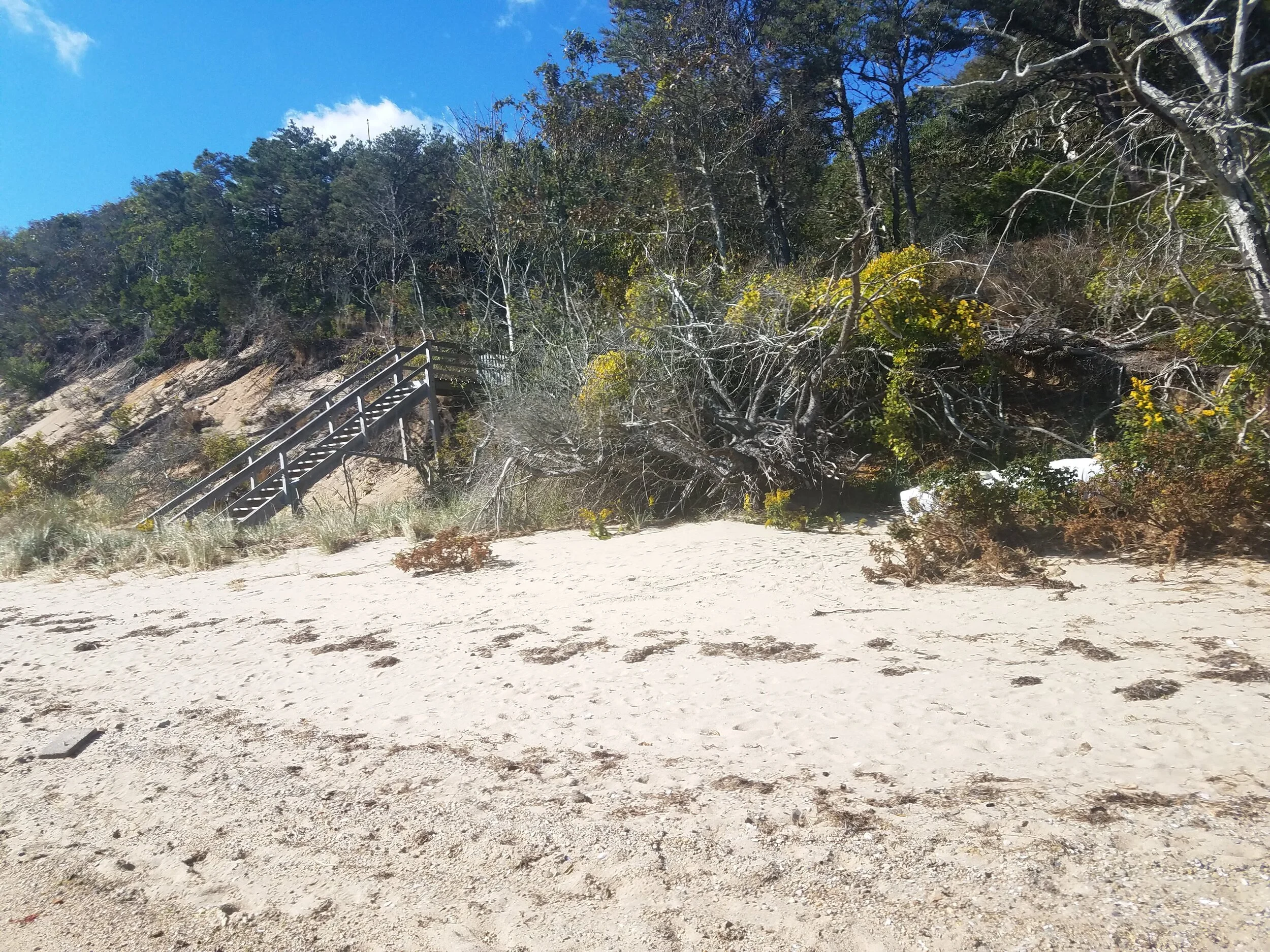
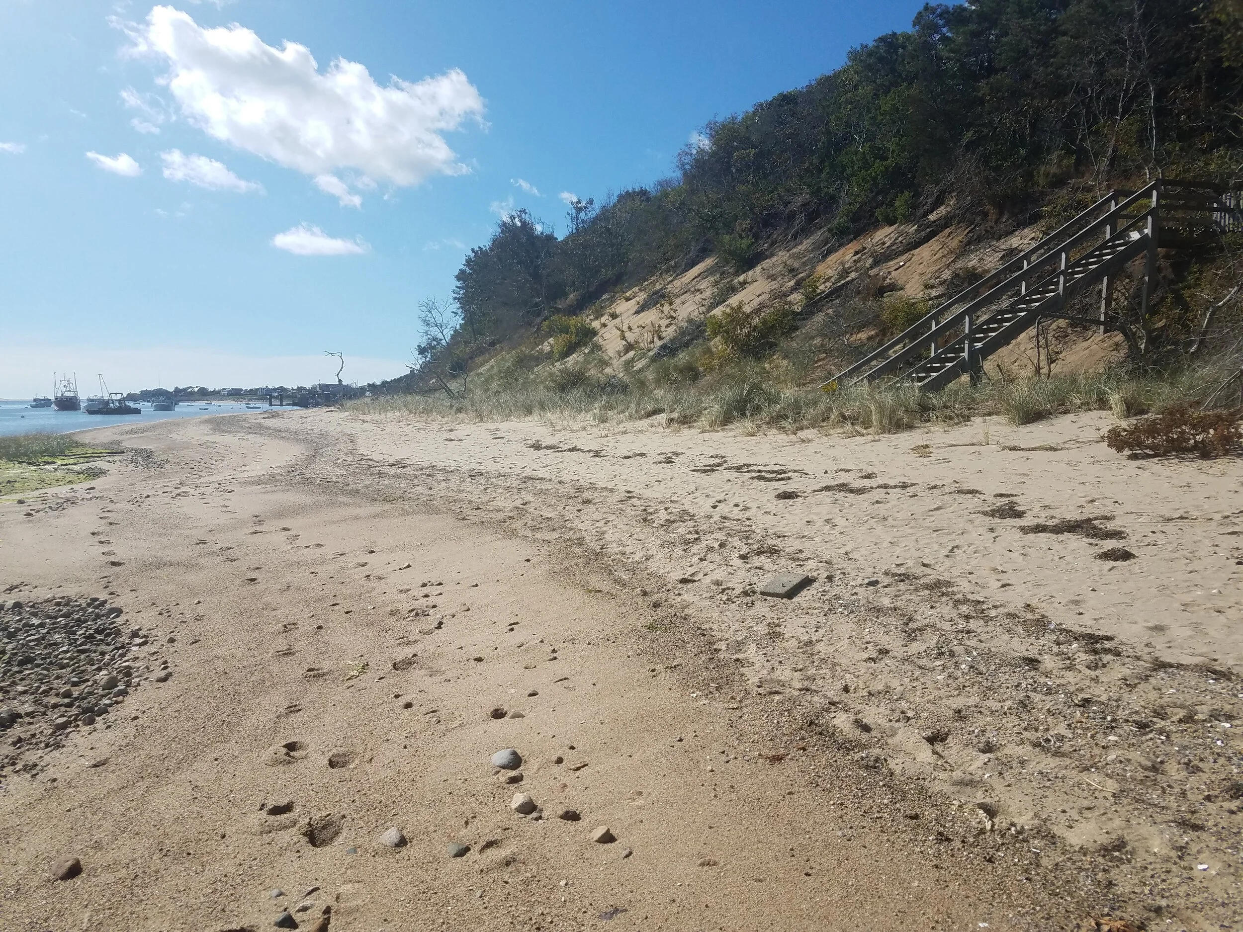
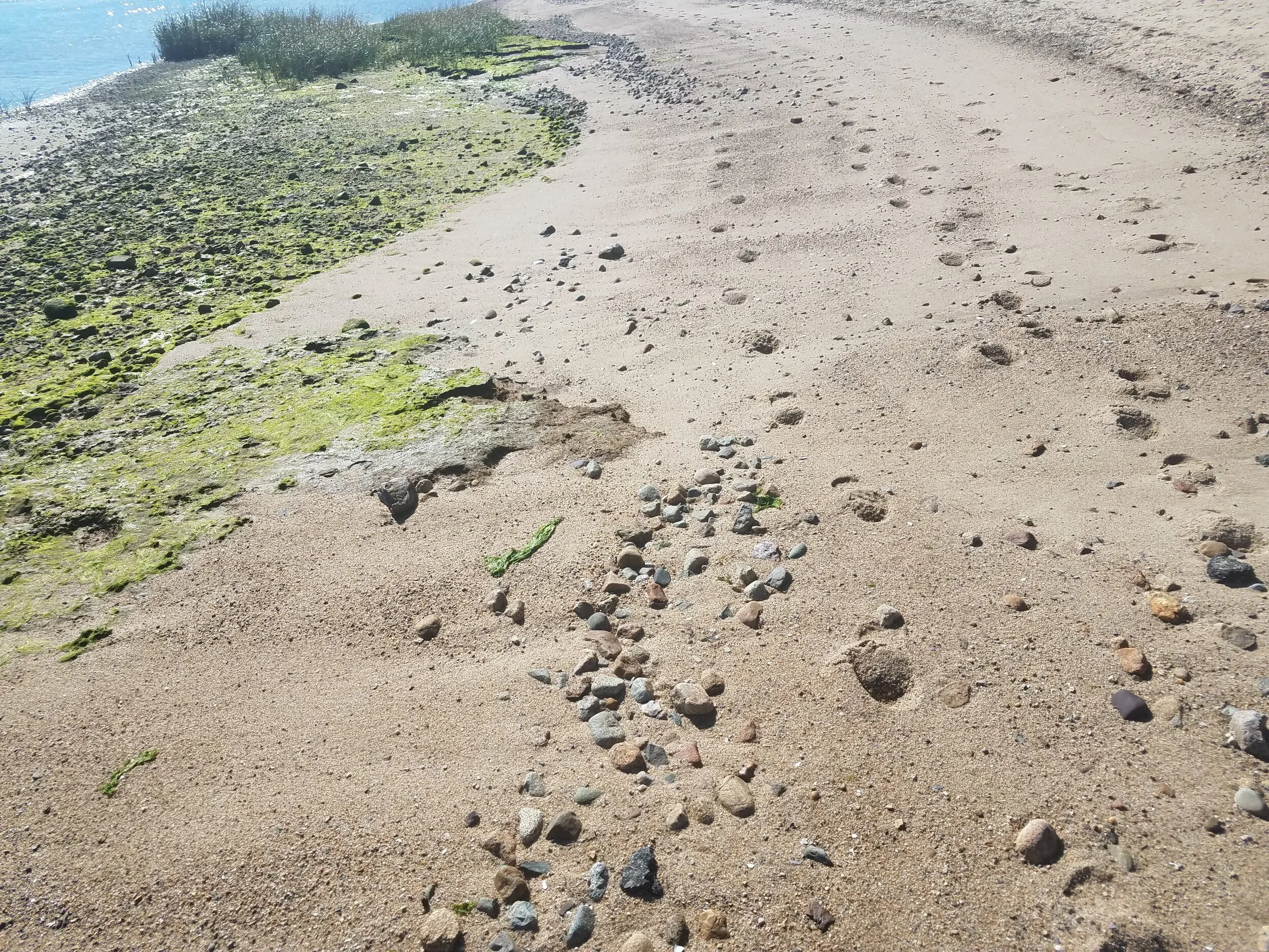
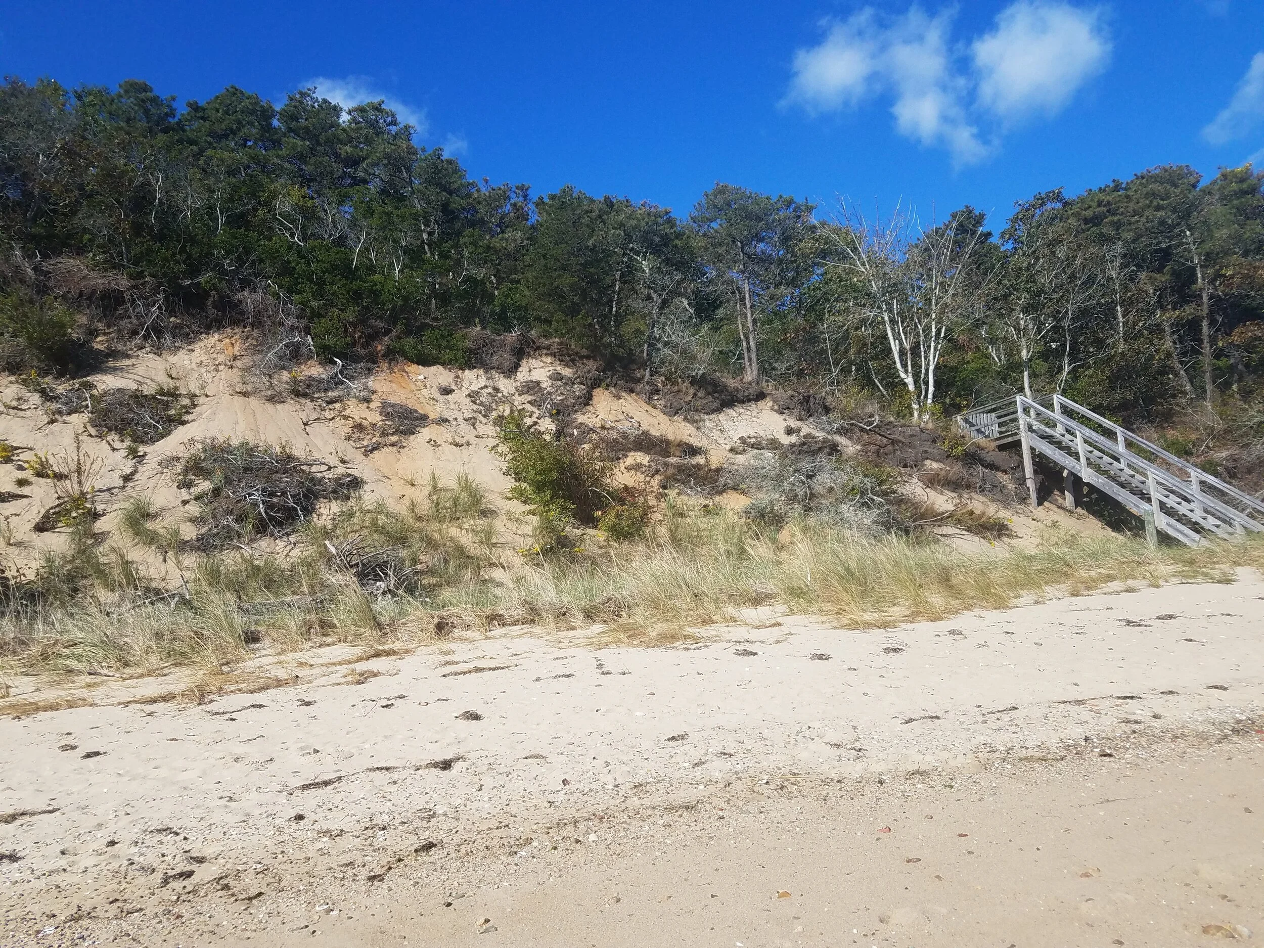
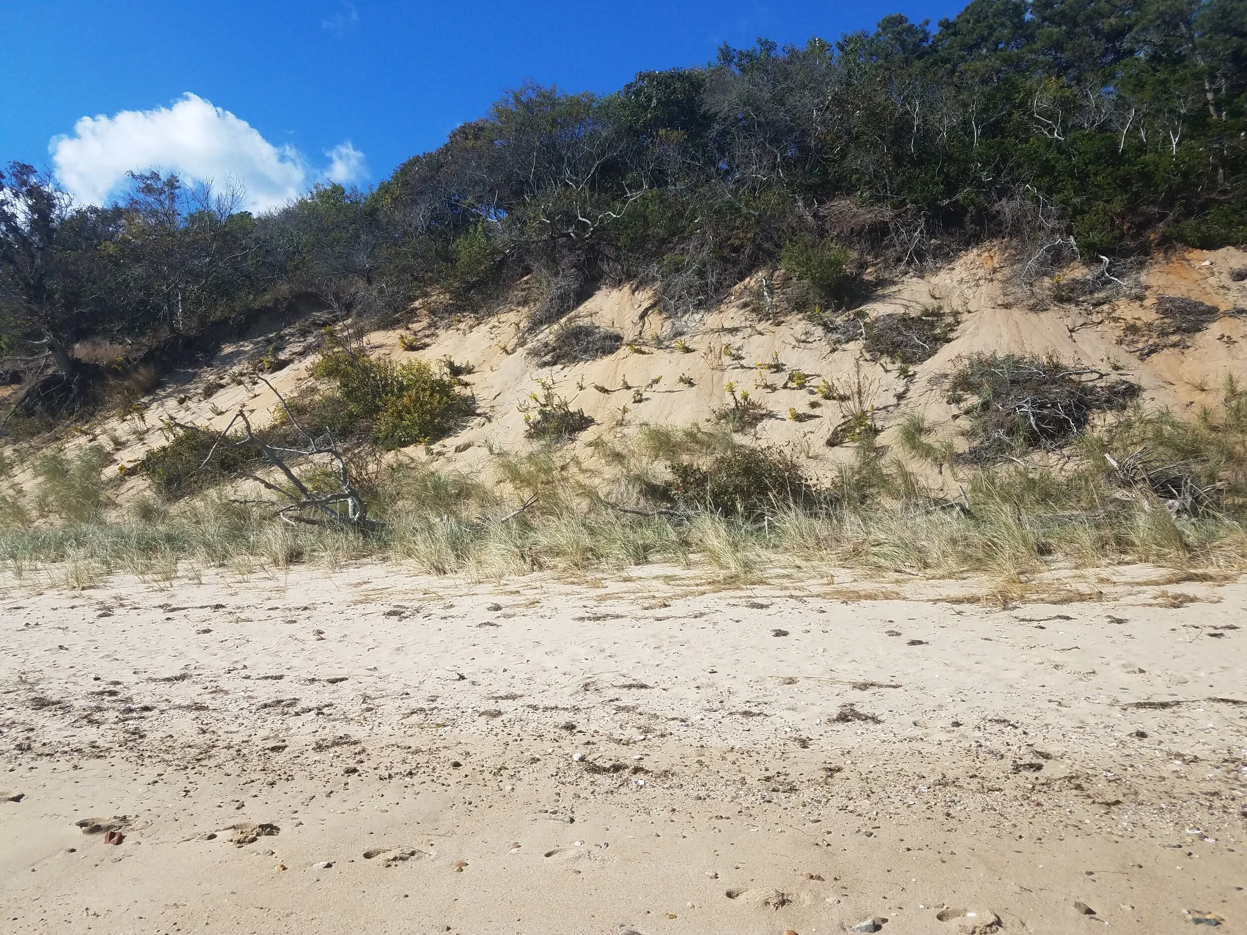
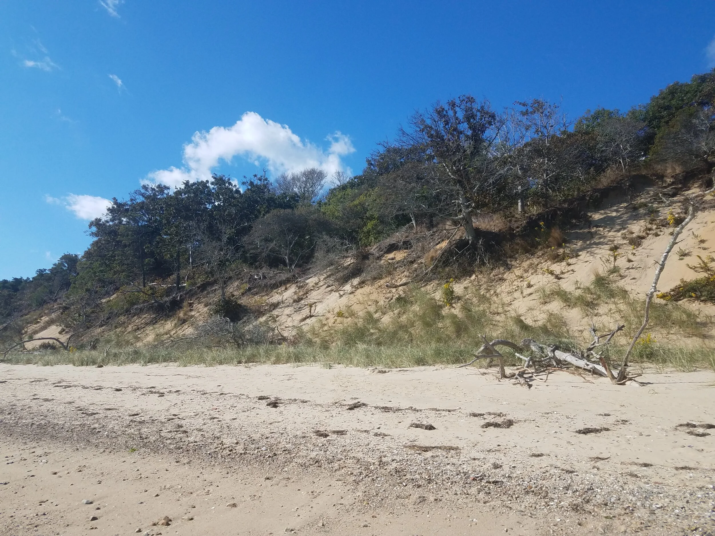
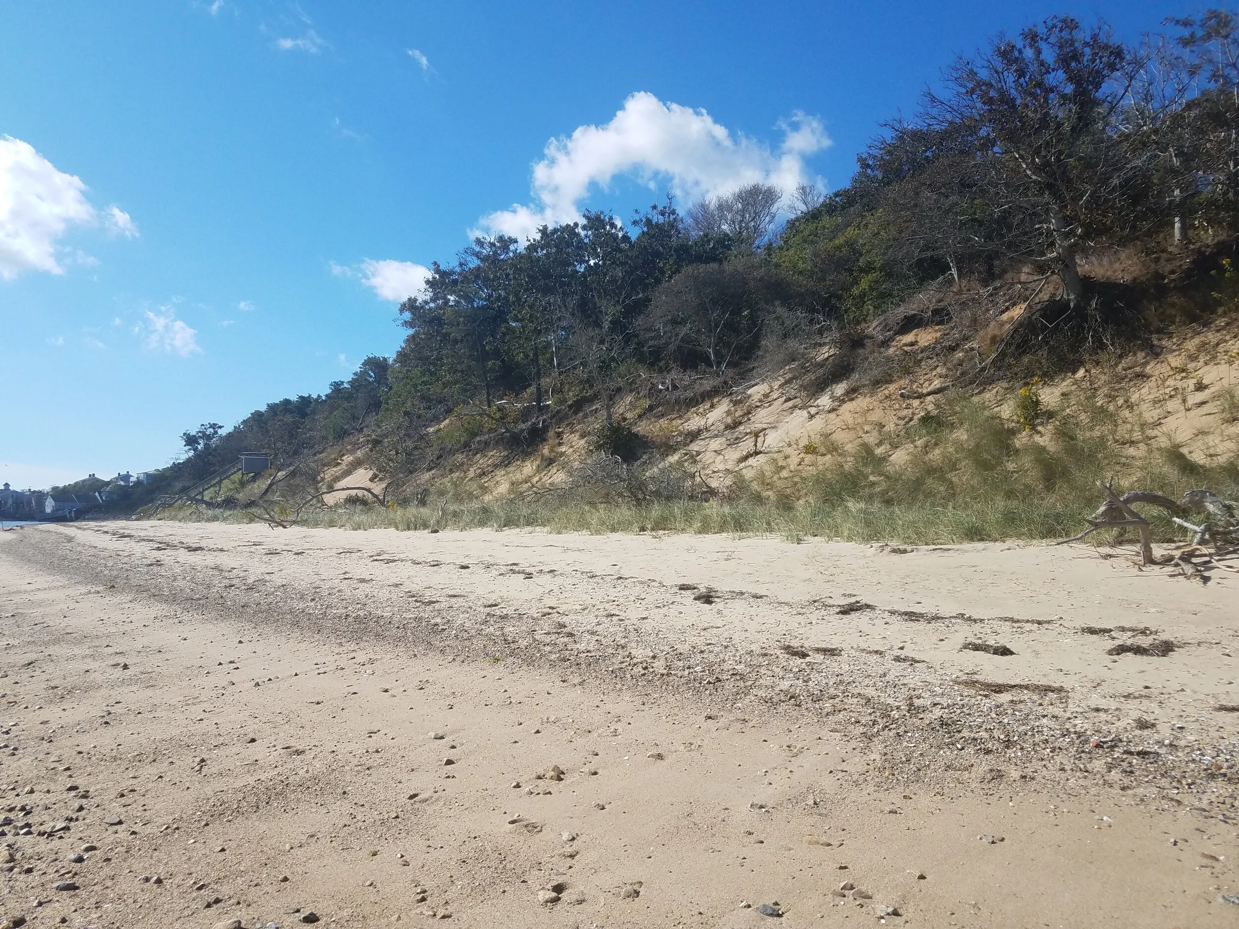
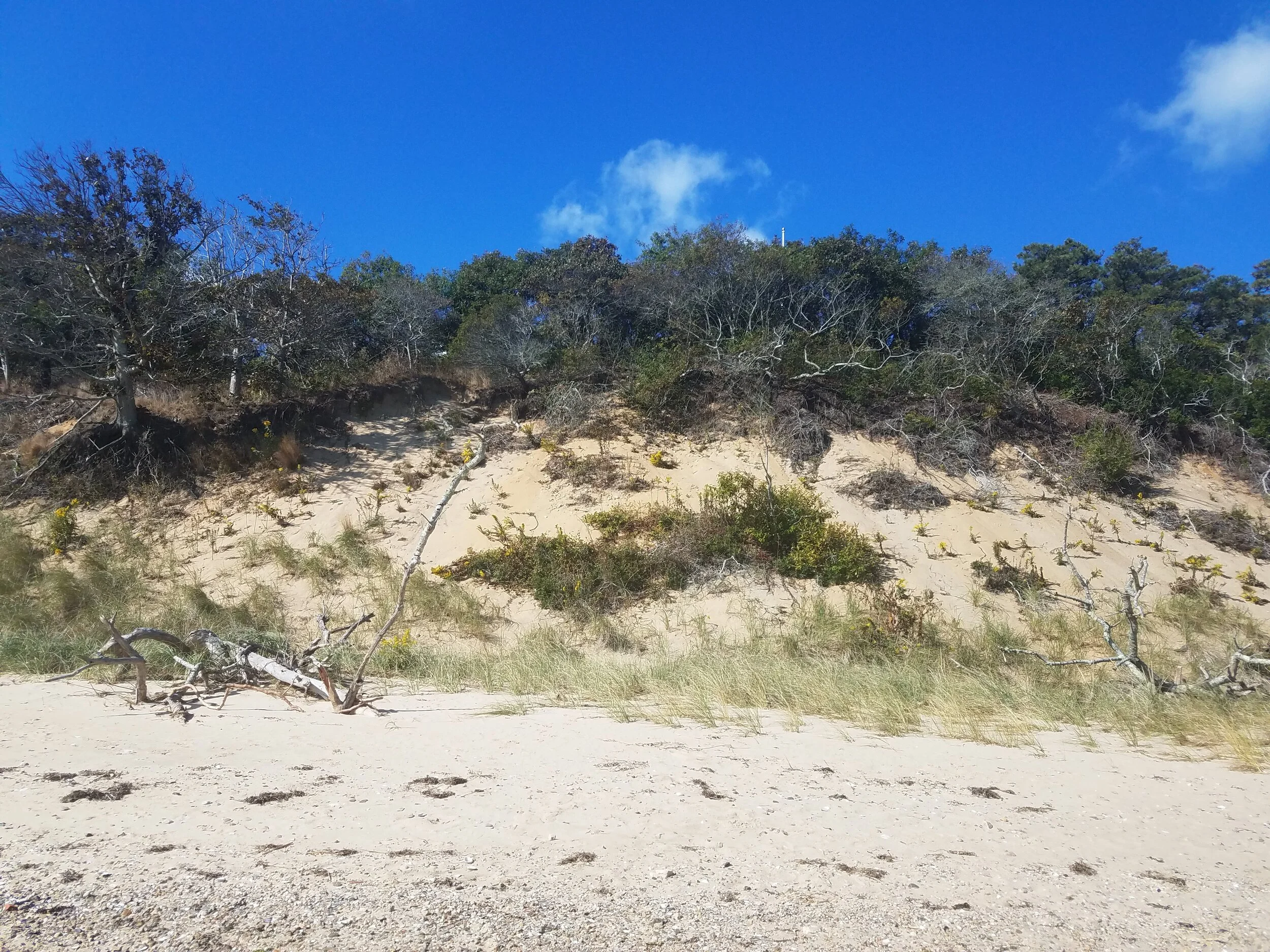
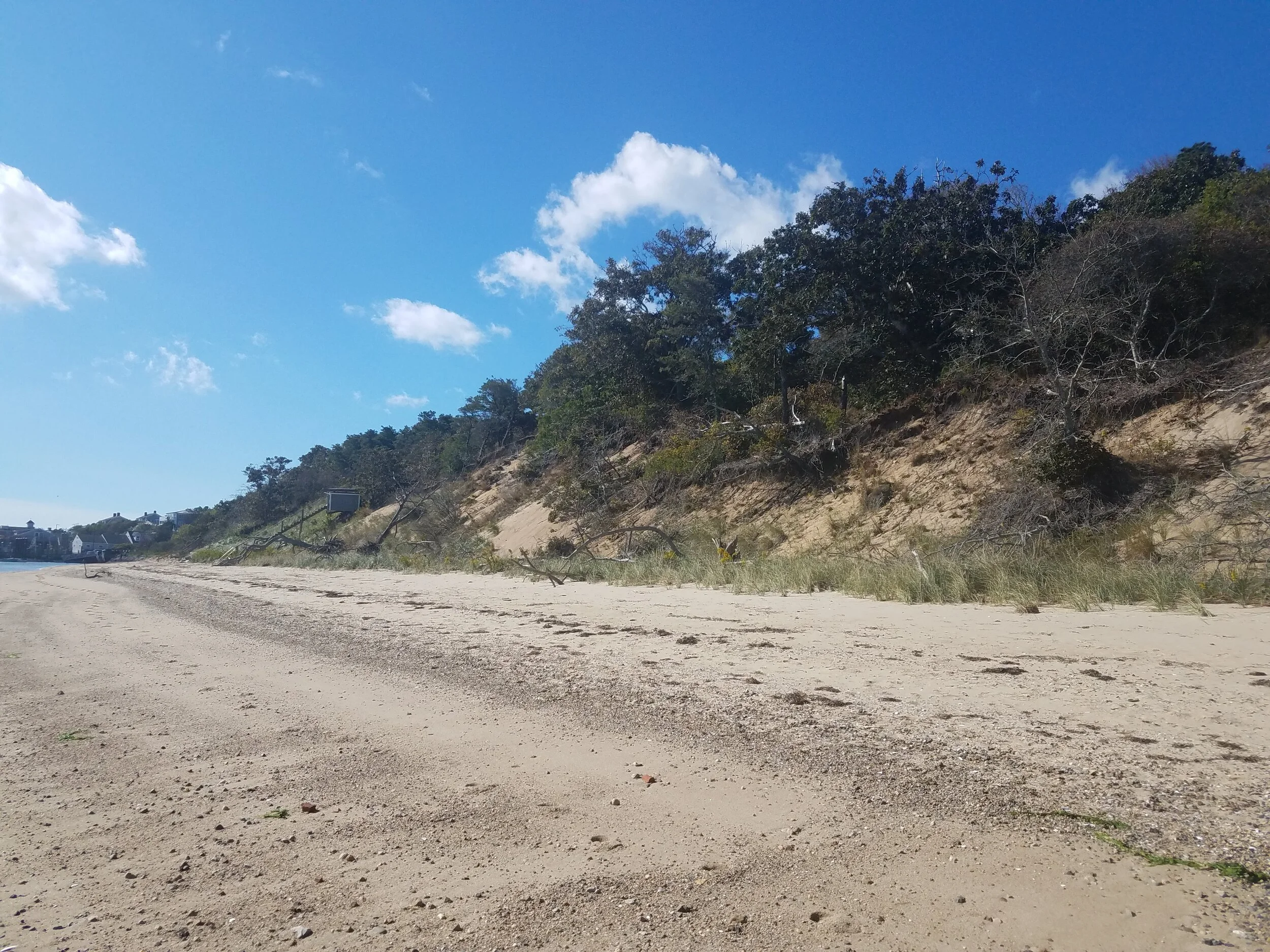
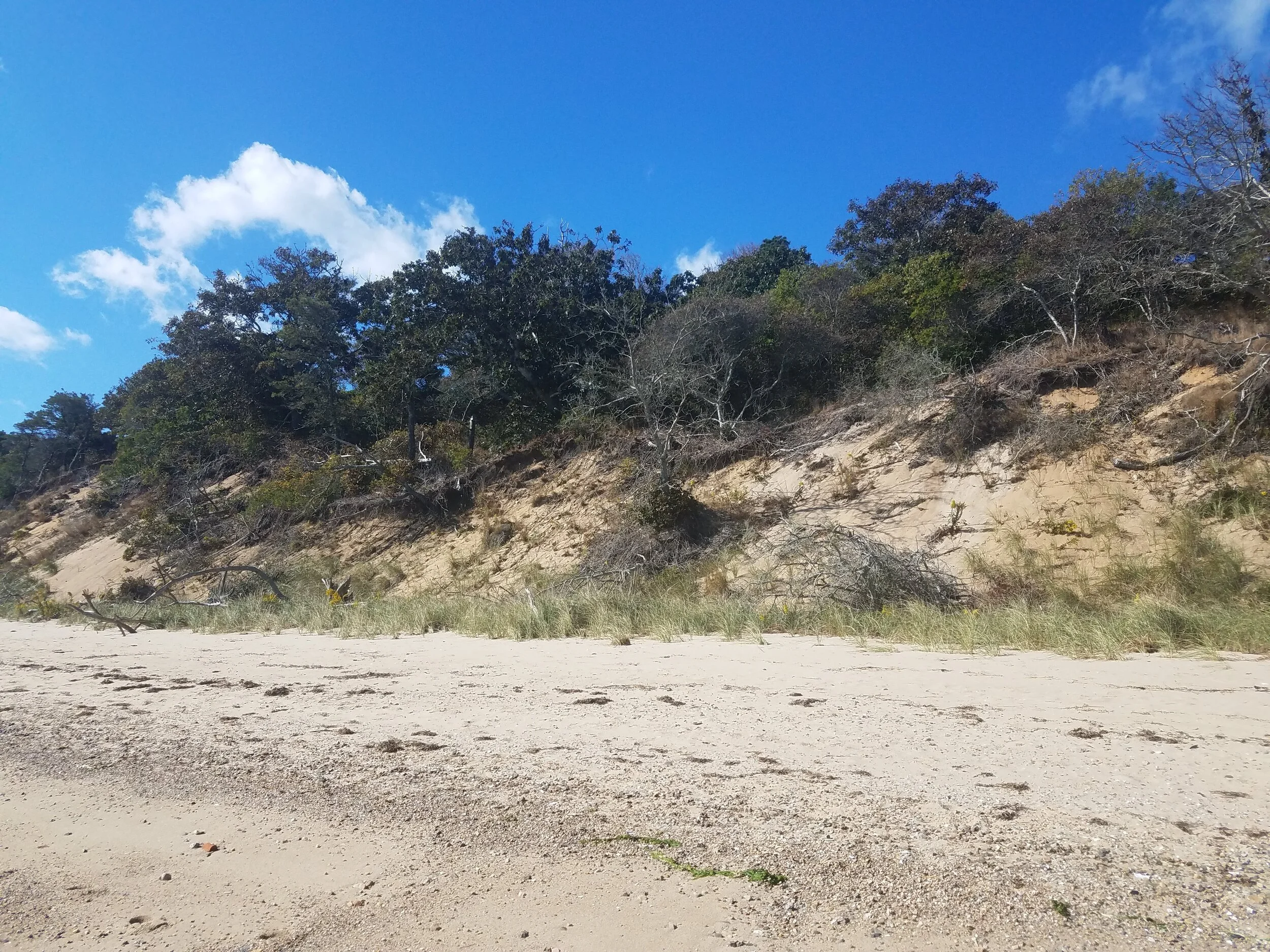
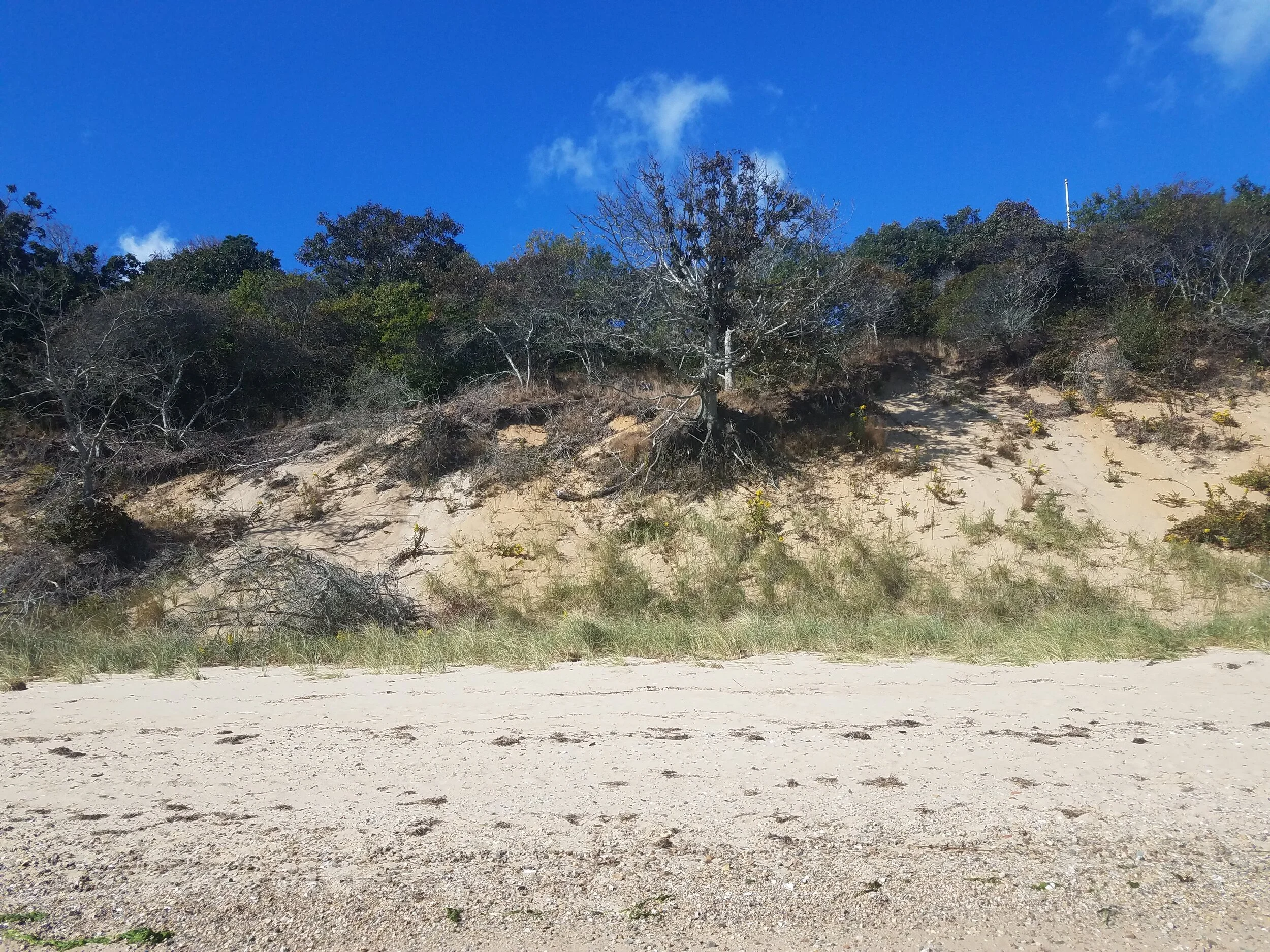
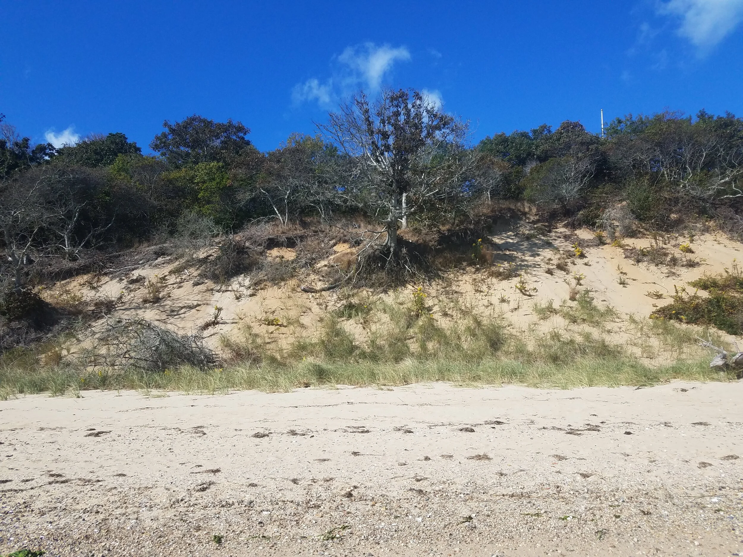
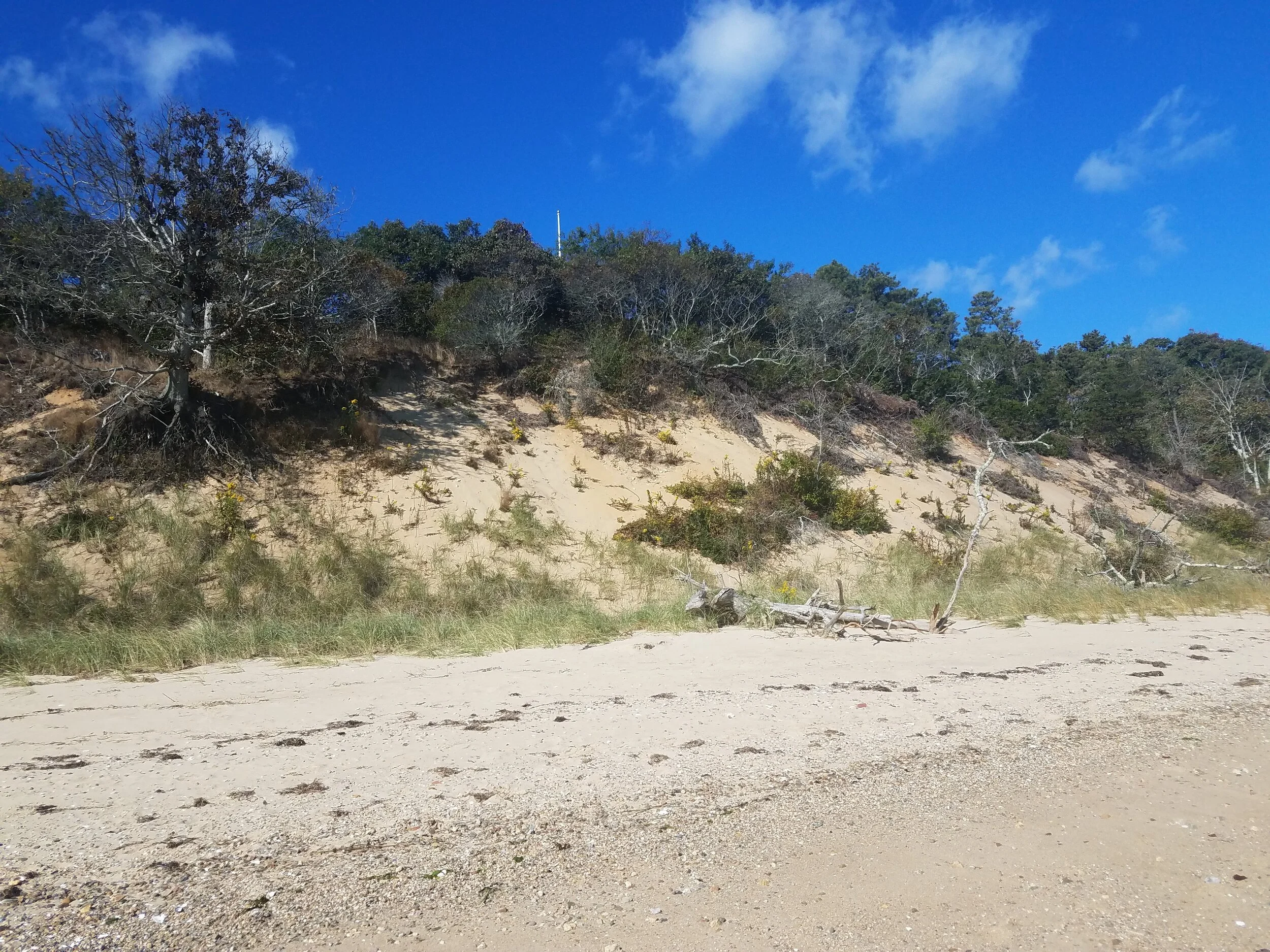
Top of bank 10-03-2020
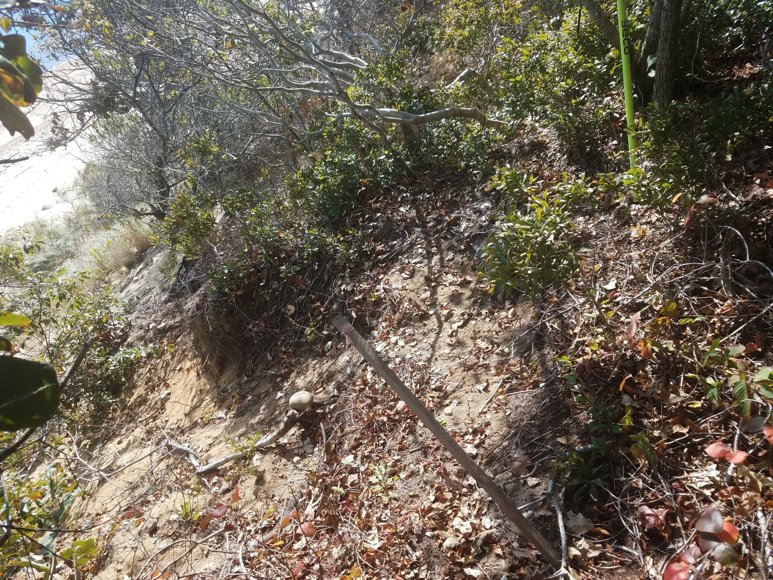
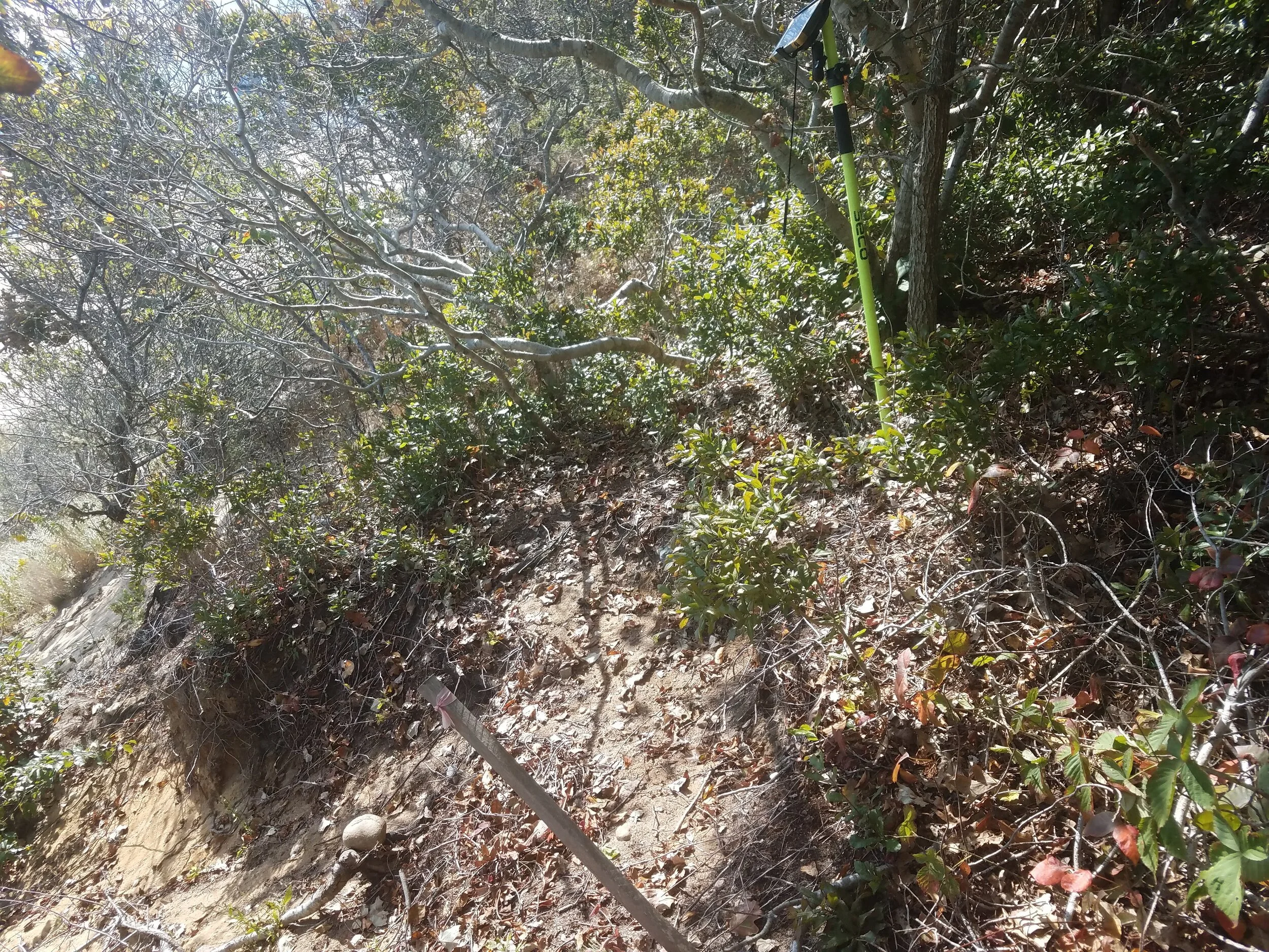
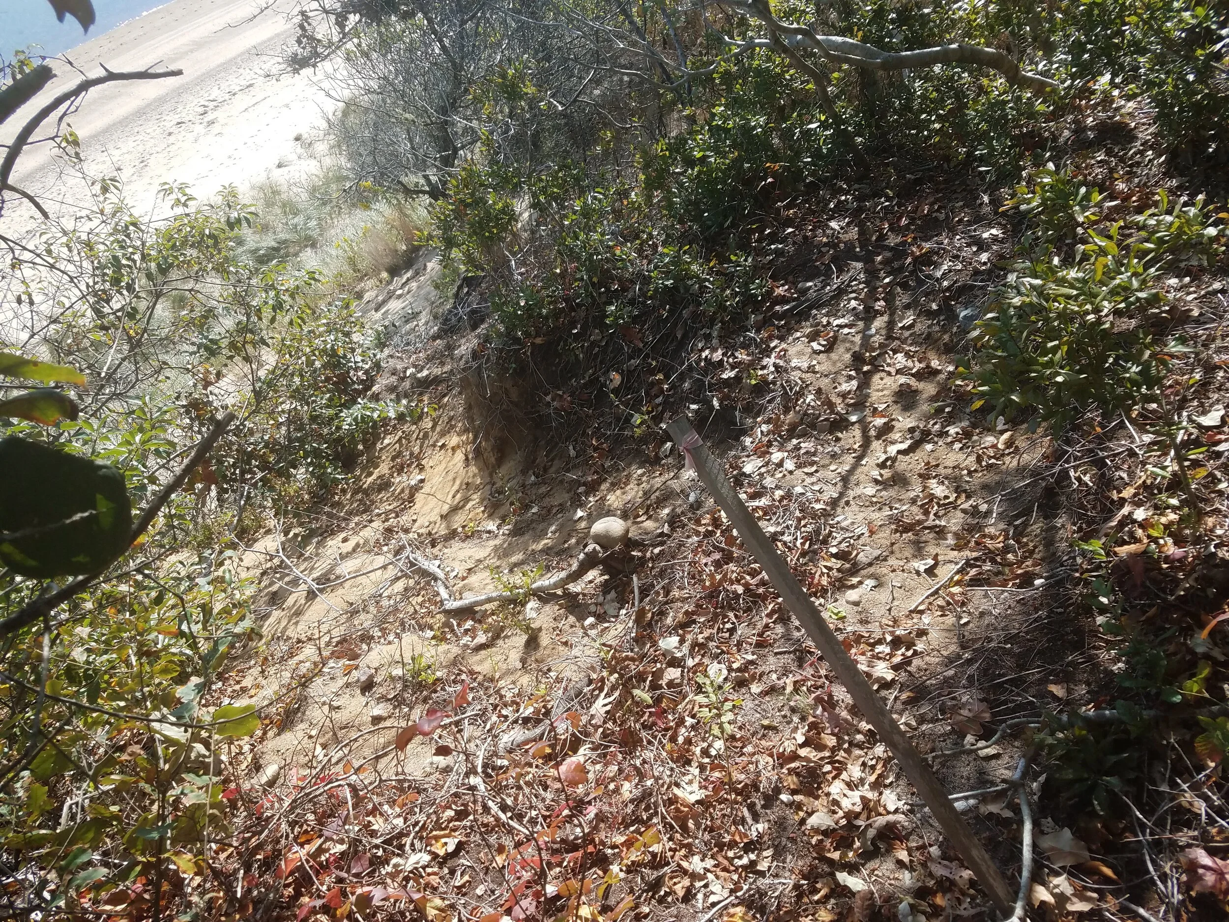
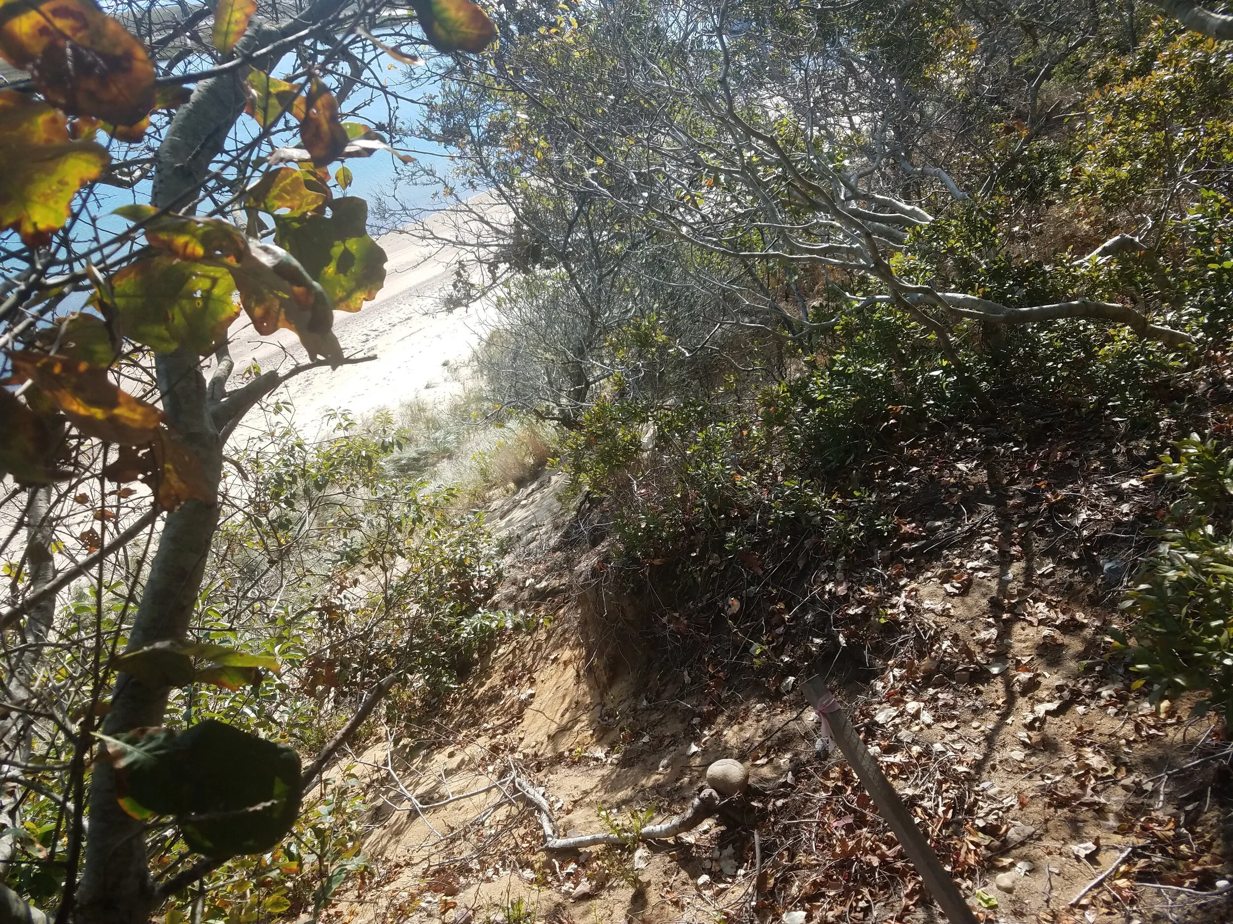
Bank 10-03-2020
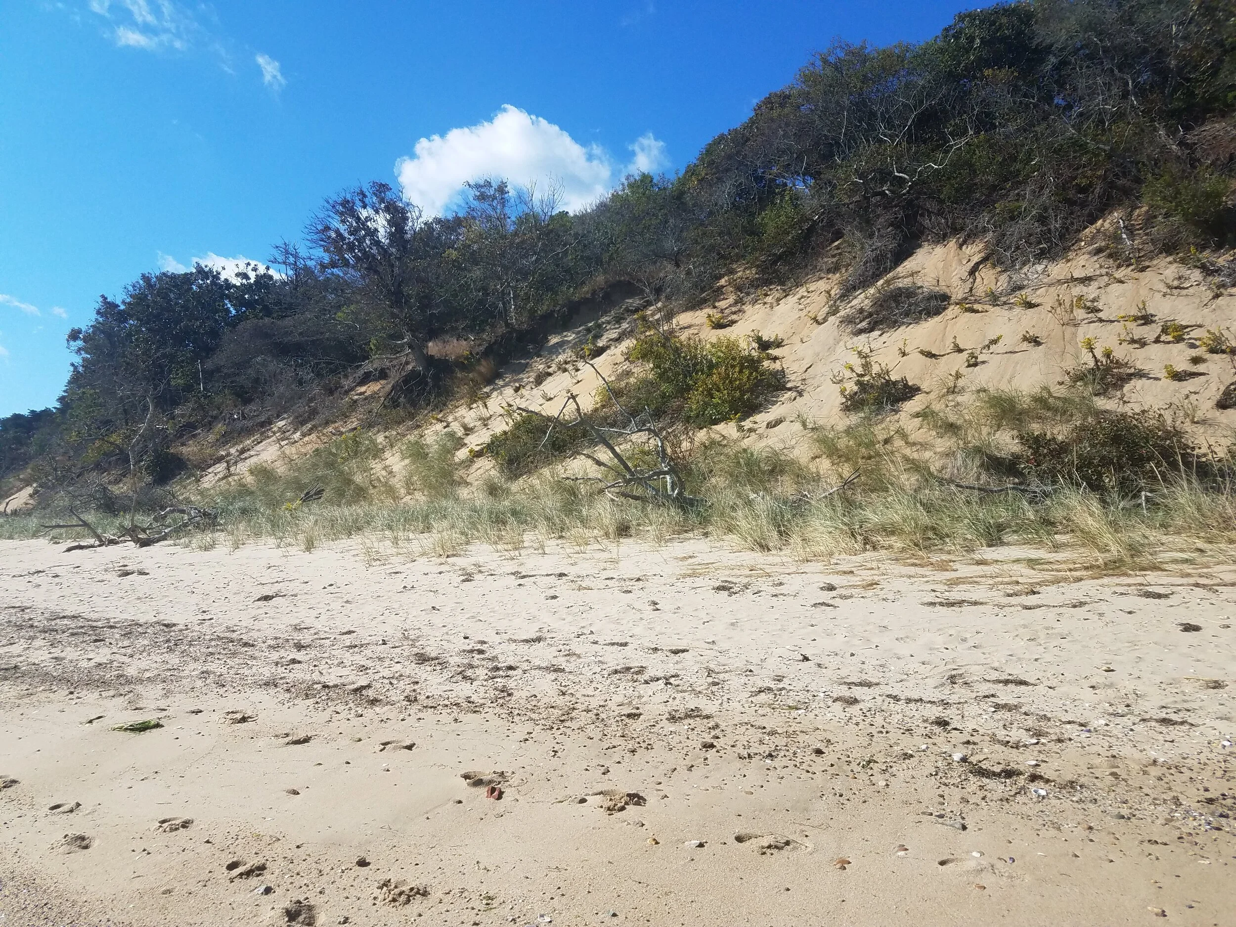
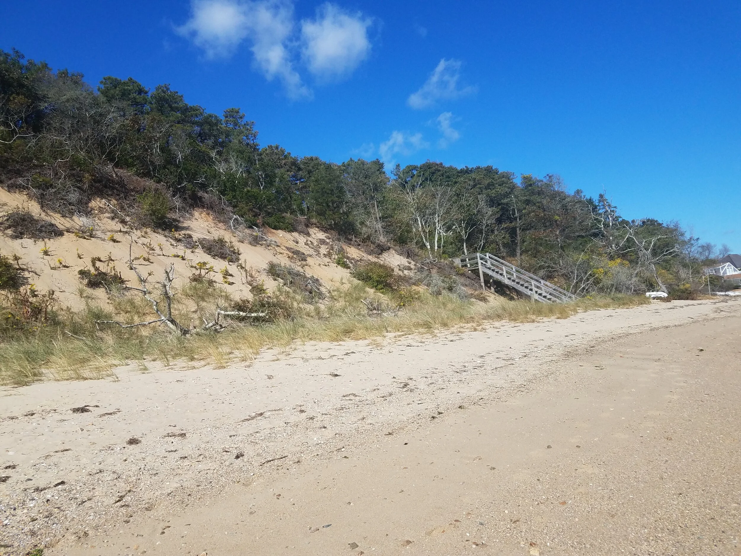
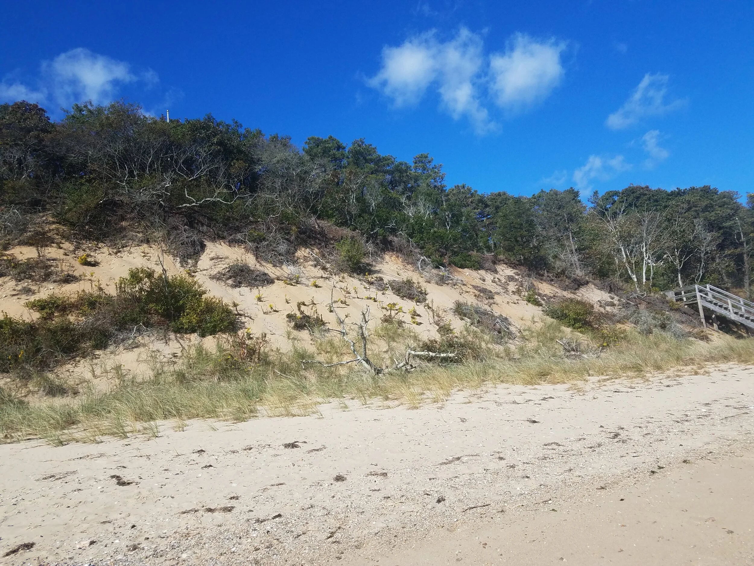
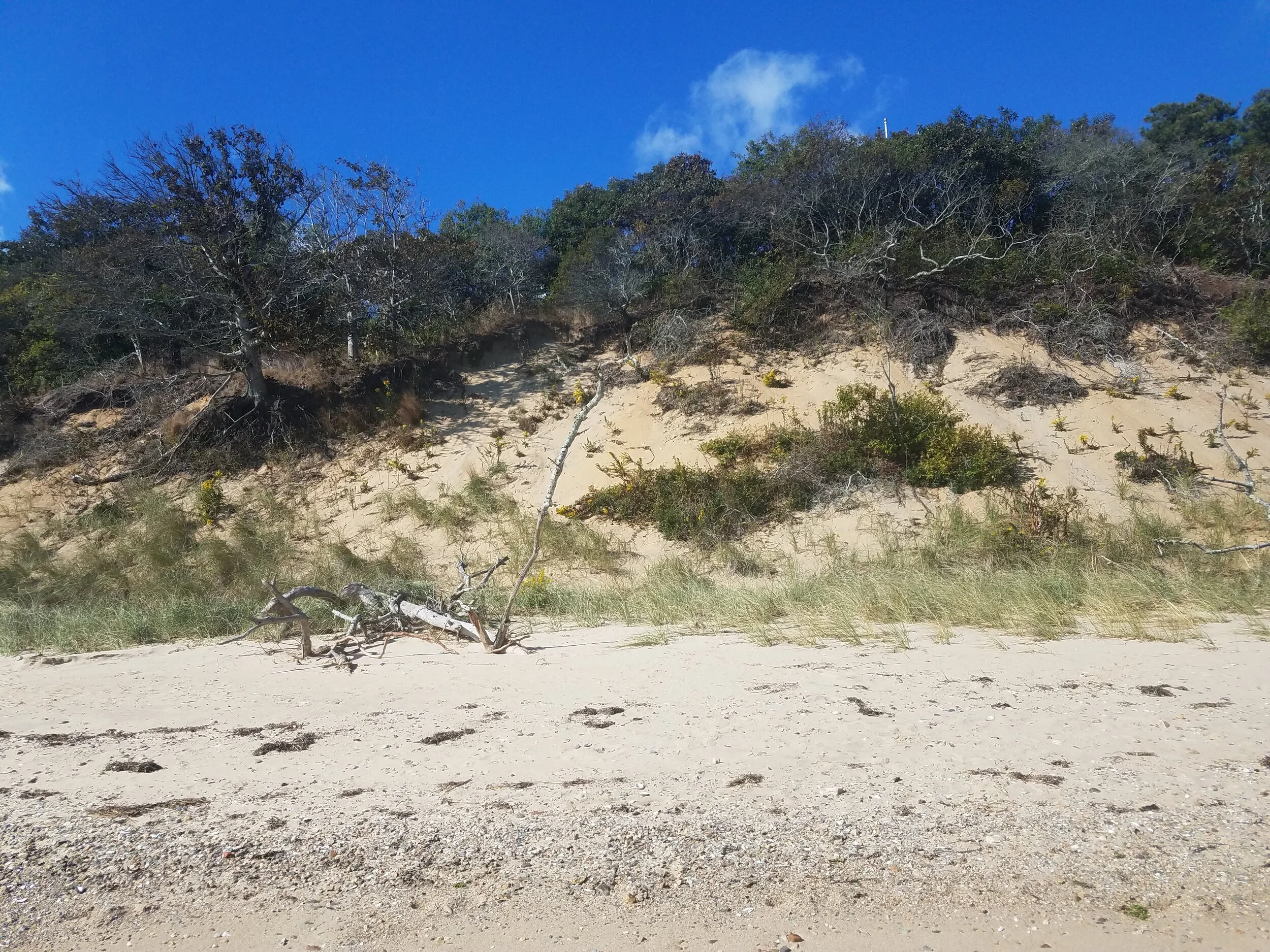

An aGIS map is available for this property. Click the image for the sales page or HERE for more information.
525 Shore Rd
ASSESSING INFORMATION- LAST UPDATED 10-04-2018
Parcel ID: 16G-4A-2A
Assessors' Card
An aGIS map is available for this property. Click the image for the sales page or HERE for more information.
547 Shore Rd
ASSESSING INFORMATION- LAST UPDATED 10-04-2018
Parcel ID: 16G-4-2
Assessors' Card
An aGIS map is available for this property. Click the image for the sales page or HERE for more information.
552 Shore Rd
ASSESSING INFORMATION- LAST UPDATED 10-04-2018
Parcel ID: 16G-16-T3
Assessors' Card
An aGIS map is available for this property. Click the image for the sales page or HERE for more information.
563 Shore Rd
ASSESSING INFORMATION- LAST UPDATED 10-04-2018
Parcel ID: 16G-5-C8
Assessors' Card
An aGIS map is available for this property. Click the image for the sales page or HERE for more information.