
ESE Presentations - I have presented a few times, and several of the presentation focus on getting Surveyors through the basics of scanning without committing to a scanner. There are free resources for aerial LiDAR, visualization, and some extraction.
LAS Tools - I started on LAS/LAZ files and learned to use some of the tools. There is an e57 to LAS/LAZ converter so the clouds from NavVis can work with them. However, these are more focused on Aerial LiDAR.
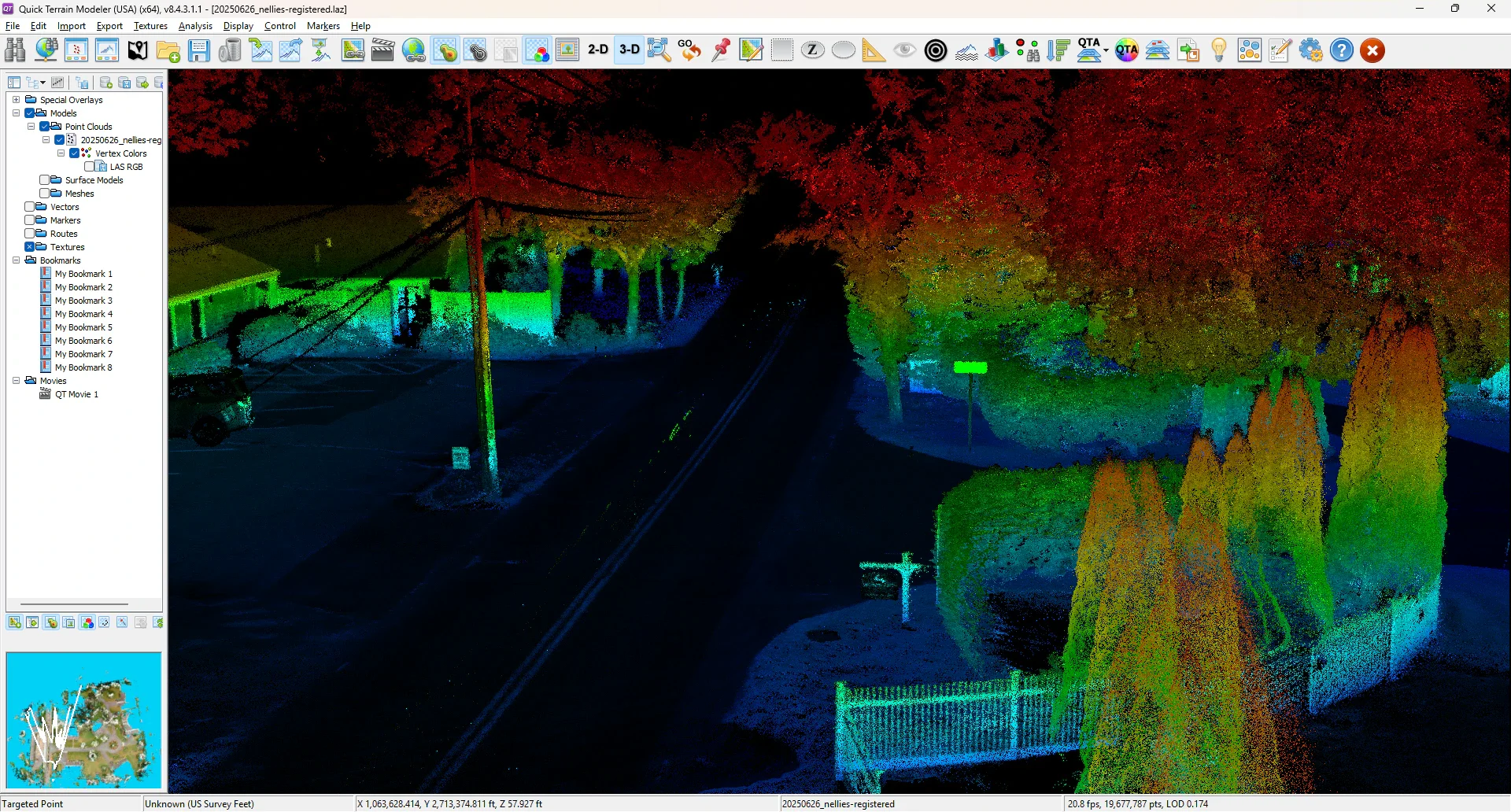
QTM - QTR - Quick Terrain Modeler has some of the best cloud visualization out there (elevation + intensity is cool). Quick Terrain Reader is a free (stripped down) version. https://appliedimagery.com/download/
Intensity + Height = Cool Visualization