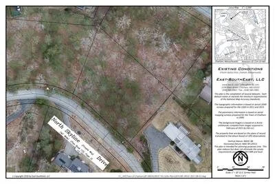
aGIS or accurate GIS is an existing conditions plan exceeding the National Map Accuracy Standards with portions meeting the Survey Standards of 250 CMR.
×

aGIS or accurate GIS is an existing conditions plan exceeding the National Map Accuracy Standards with portions meeting the Survey Standards of 250 CMR.