
ASSESSING INFORMATION- LAST UPDATED 11-06-2018
Parcel ID: 11K-11-HC112
Assessors' Card
Administrative Review Application 2019
2019 Admin Review for the Removal of Trees
Admin Review PDF
Images PDF


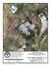
An aGIS map is available for this property. Click the image for the sales page or HERE for more information.