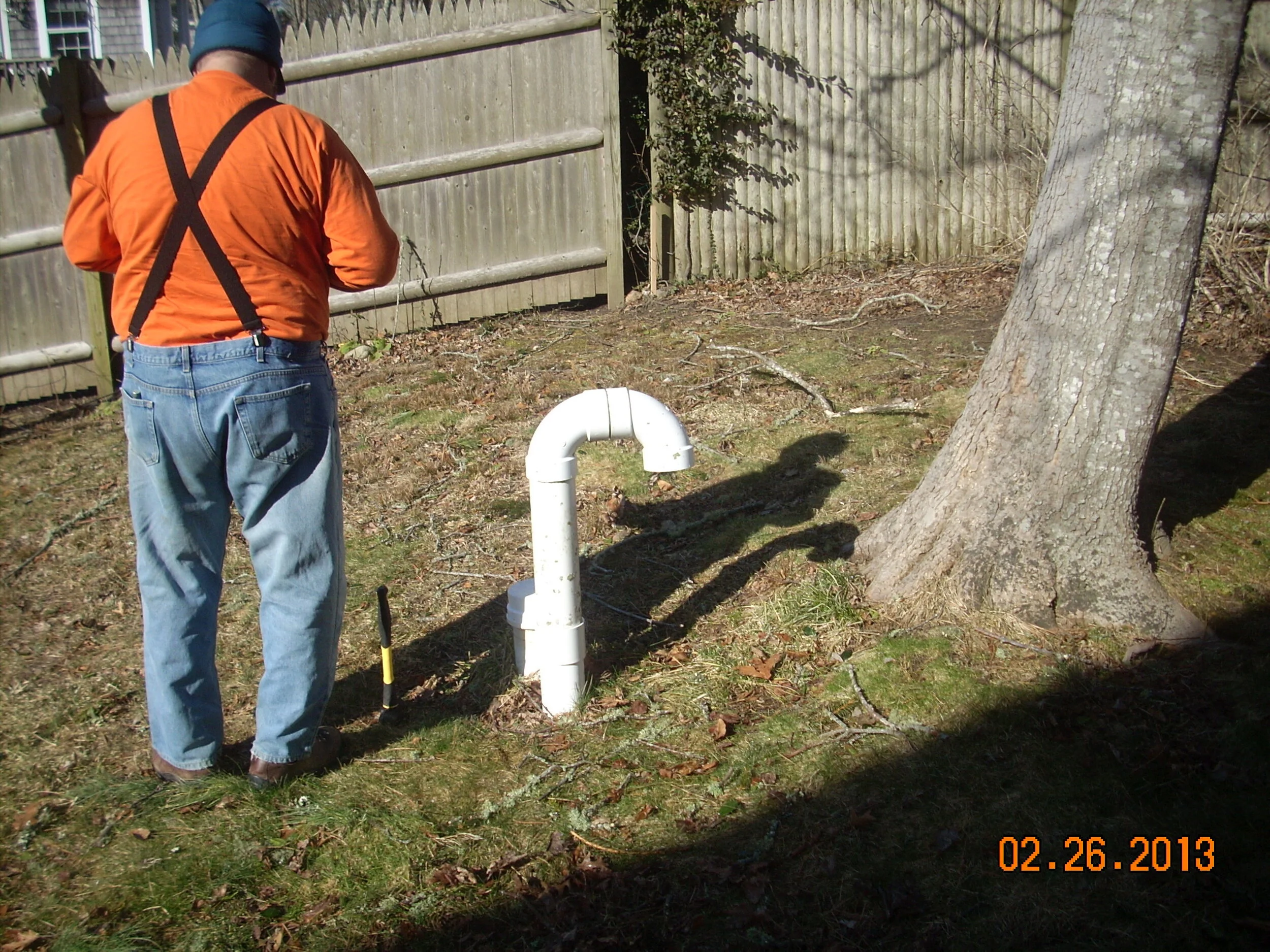
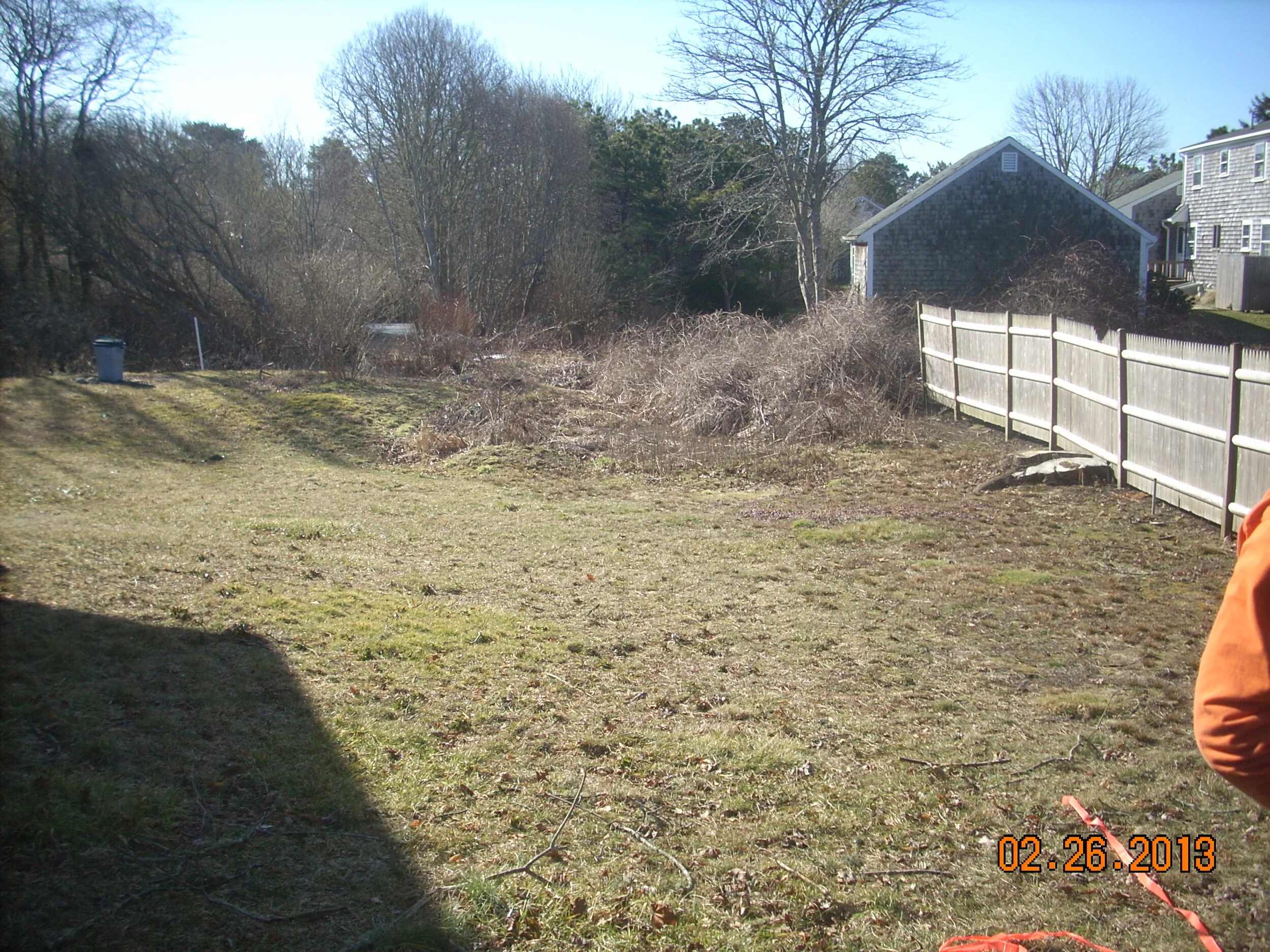
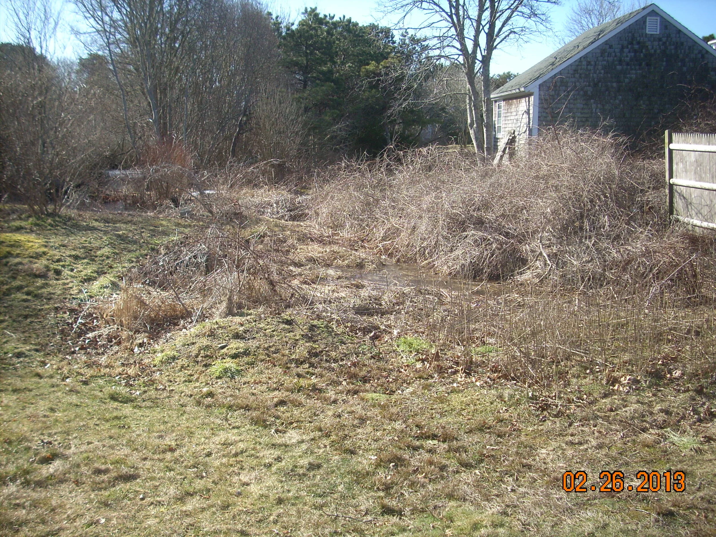
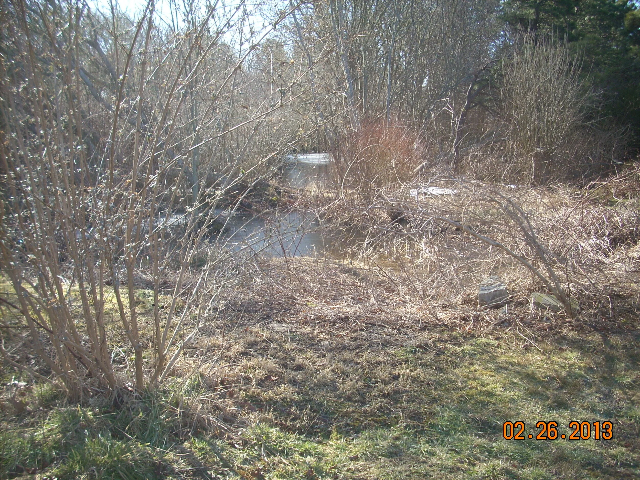
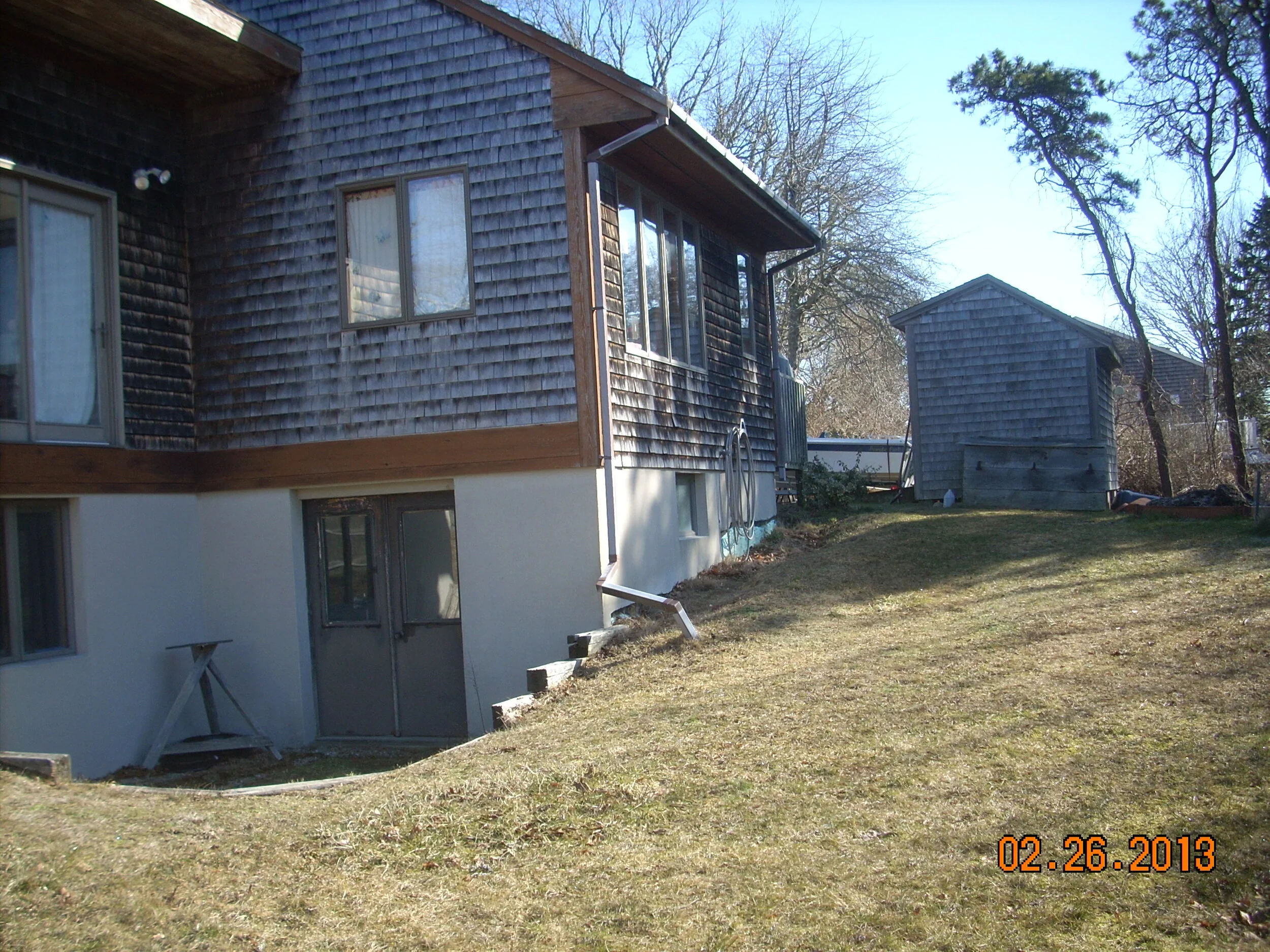
ASSESSING INFORMATION- LAST UPDATED 06-12-2018
Parcel ID: 12B-1C-B4
Assessors' Card
An aGIS map is available for this property. Click the image for the sales page or HERE for more information.

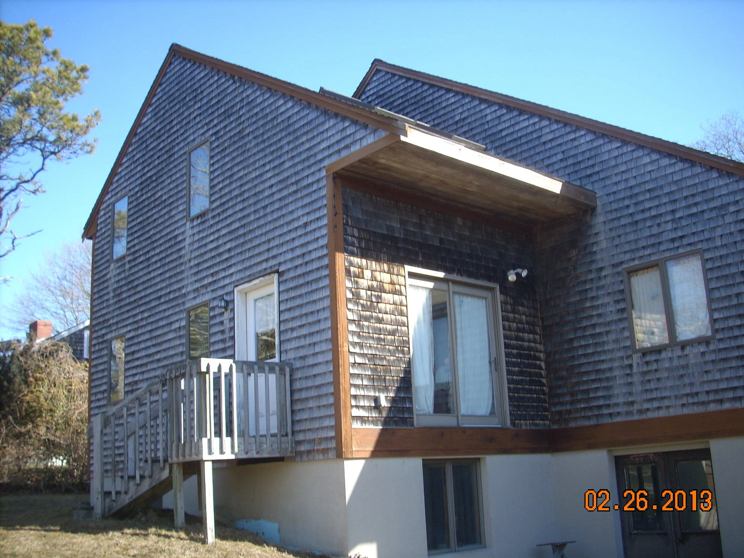
ASSESSING INFORMATION- LAST UPDATED 06-12-2018
Parcel ID: 12B-1C-B4
Assessors' Card
An aGIS map is available for this property. Click the image for the sales page or HERE for more information.
ASSESSING INFORMATION- LAST UPDATED 06-12-2018
Parcel ID: 15D-27-103
Assessors' Card
ASSESSING INFORMATION- LAST UPDATED 06-12-2018
Parcel ID: 15D-28-102
Assessors' Card
ASSESSING INFORMATION- LAST UPDATED 06-12-2018
Parcel ID: 15D-29-101
Assessors' Card
ASSESSING INFORMATION- LAST UPDATED 06-12-2018
Parcel ID: 15D-30-99
Assessors' Card
ASSESSING INFORMATION- LAST UPDATED 06-12-2018
Parcel ID: 14F-77-F4
Assessors' Card
ASSESSING INFORMATION- LAST UPDATED 06-12-2018
Parcel ID: 14F-85-F15
Assessors' Card
ASSESSING INFORMATION- LAST UPDATED 06-12-2018
Parcel ID: 14F-78-F5
Assessors' Card
ASSESSING INFORMATION- LAST UPDATED 06-12-2018
Parcel ID: 14F-84-F16
Assessors' Card
ASSESSING INFORMATION- LAST UPDATED 06-12-2018
Parcel ID: 14F-79-F6
Assessors' Card
ASSESSING INFORMATION- LAST UPDATED 06-12-2018
Parcel ID: 3B-74-B68
Assessors' Card
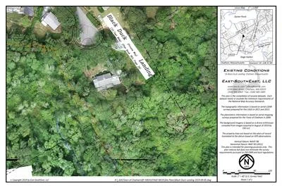
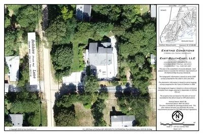
aGIS or accurate GIS is an existing conditions plan exceeding the National Map Accuracy Standards with portions meeting the Survey Standards of 250 CMR.
ASSESSING INFORMATION- LAST UPDATED 06-12-2018
Parcel ID: 3C-80-EAS4
Assessors' Card
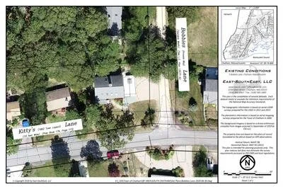
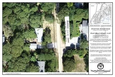
aGIS or accurate GIS is an existing conditions plan exceeding the National Map Accuracy Standards with portions meeting the Survey Standards of 250 CMR.
ASSESSING INFORMATION- LAST UPDATED 06-12-2018
Parcel ID: 3C-88-B82
Assessors' Card
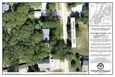
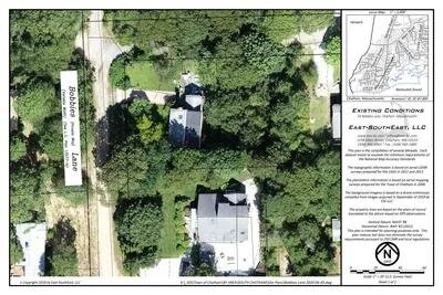
aGIS or accurate GIS is an existing conditions plan exceeding the National Map Accuracy Standards with portions meeting the Survey Standards of 250 CMR.
ASSESSING INFORMATION- LAST UPDATED 06-12-2018
Parcel ID: 3C-81-EAS2
Assessors' Card
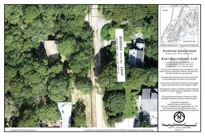
aGIS or accurate GIS is an existing conditions plan exceeding the National Map Accuracy Standards with portions meeting the Survey Standards of 250 CMR.
ASSESSING INFORMATION- LAST UPDATED 06-12-2018
Parcel ID: 3C-87-B85
Assessors' Card
aGIS or accurate GIS is an existing conditions plan exceeding the National Map Accuracy Standards with portions meeting the Survey Standards of 250 CMR.
ASSESSING INFORMATION- LAST UPDATED 06-12-2018
Parcel ID: 3C-69A-24B
Assessors' Card
aGIS or accurate GIS is an existing conditions plan exceeding the National Map Accuracy Standards with portions meeting the Survey Standards of 250 CMR.