
Once the project is processed:
Download the Quality Report - check that everything looks good there.
Download the Point Cloud in the e57 flavor (remember it is in metric).
Download the Panoramic Images.
We upload our panoramic images to a webGIS.
Archive the Downloads.
Import the e57 into the software (scale back to feet!) and extract using the images to help understand the dots.
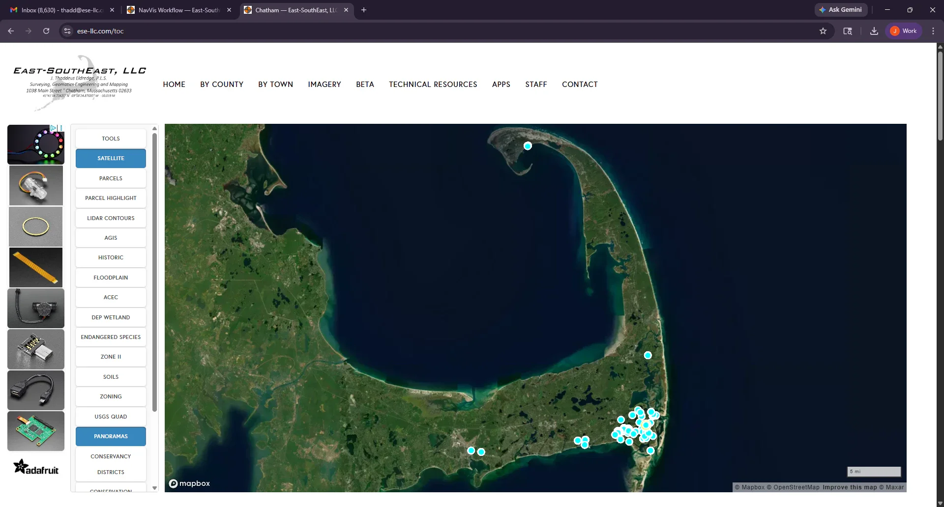
The webGIS shows all the NavVis Panoramics from all the Projects.
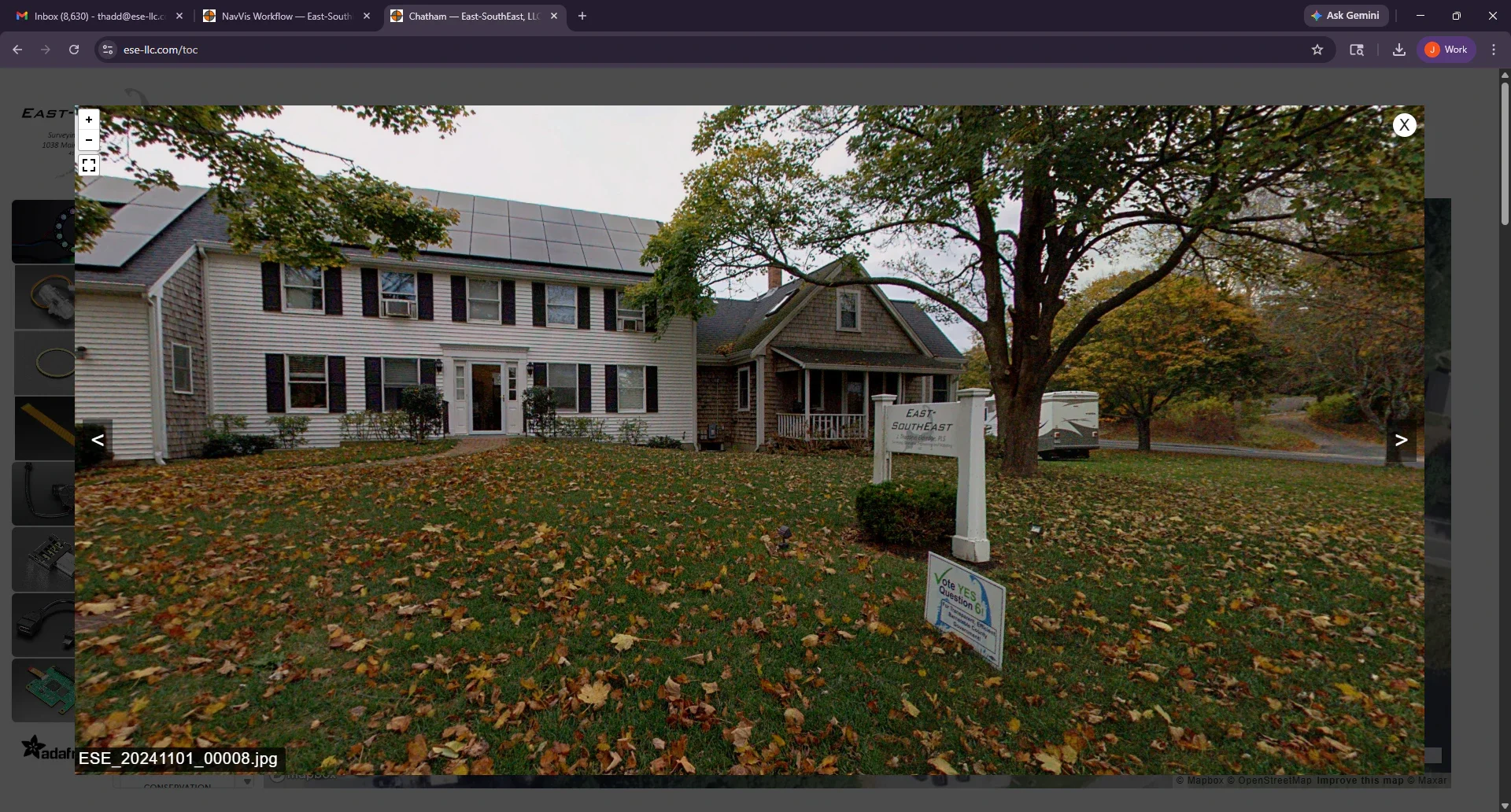
The scan of our Office.